| Skydio X10 for AEC | |
|---|---|
| Flight time | Up to 40 minutes |
| VT300-L Sensor package | 1" wide camera at 50MP FLIR Boson+ thermal 64MP narrow camera |
| Accuracy | Up to centimeter-level with RTK/PPK |
| Weight | Under 4.7 lbs |
| Attachments | RTK/PPK, Parachute |
| Compliance | NDAA Compliant |


Operational Readiness for AEC teams
Switching to Skydio? Start here.
A practical guide for AEC teams moving their drone programs forward.


AEC teams rely on drones to document construction progress, inspect complex structures, create maps and models, and keep stakeholders aligned. But changing drone platforms can feel risky when your pilots, project teams, and downstream workflows already depend on a familiar process.

About the guide.
This guide is designed to help construction, engineering, and infrastructure teams understand how to move to Skydio while keeping field operations, data capture, deliverables, and stakeholder reporting moving.
Whether your team is replacing legacy drones, supporting new procurement requirements, expanding autonomous operations, or standardizing drone programs across offices and projects, Skydio helps you make the transition with the aircraft, software, services, integrations, and enablement resources needed to move with confidence.
Replace the drone.
Keep the workflow.
Switching platforms should not mean rebuilding your program from scratch. Skydio helps AEC teams preserve the workflows they already depend on. Teams can continue planning missions, capturing site data, processing outputs, and sharing deliverables through the processes already familiar to their organization.
With Skydio X10, teams can capture data on active jobsites and complex structures using autonomy designed for close-proximity flight, repeatable missions, and consistent data collection.
01 / Where Skydio fits into AEC workflows
AEC drone programs often need to support multiple teams, project types, and deliverables. Skydio helps teams capture the data they need across major construction sites, transportation infrastructure, utilities, energy assets, buildings, and other complex environments.

For major construction site workflows
Progress Documentation
Capture recurring aerial imagery to document site conditions, construction sequencing, and work completed over time.
Stakeholder updates and coordination meetings
Support owner, architect, contractor, and project team discussions with current visual context, site progress imagery, and repeatable documentation from consistent capture points or mission patterns.
Remote site visibility
Give project teams, executives, owners, and distributed stakeholders a clearer view of site status without requiring frequent site visits.
Quality and coordination support
Help teams identify issues earlier, validate work in place, and provide visual context for coordination, schedule, and logistics discussions.
Schedule and milestone tracking
Use repeatable capture to compare progress across phases, milestones, and critical construction activities.
Safety and access support
Reduce the need for personnel to enter difficult-to-access or active work areas simply to collect visual updates.

For engineering and inspection workflows
Bridge inspections
Capture visual data around decks, piers, girders, bearings, joints, and hard-to-access structural elements.
Facade inspections
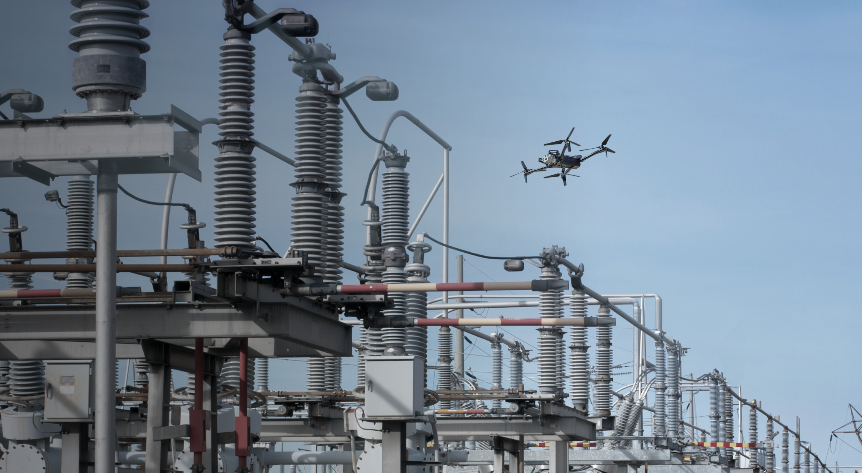
Inspect building envelopes, exterior walls, rooflines, windows, panels, and other vertical surfaces with close-proximity autonomy.
Dam and utility inspections
Support critical asset inspections where access is difficult, safety risks are higher, or documentation needs to be repeatable.
Energy and industrial site inspections
Document conditions around complex sites, equipment, and structures where safe, repeatable access matters.
Critical asset documentation
Create a visual record of asset conditions to support engineering review, maintenance planning, and stakeholder communication.
02 / Capture the data your team needs
AEC teams need flexible ways to plan, execute, and scale drone missions. Some workflows start in the field with a pilot and controller. Others benefit from cloud-based planning, repeatable missions, or remote operations over time.

Plan the mission
Plan missions in the cloud or directly from the controller, depending on how your team works. Field teams can respond to real-time site conditions from the controller, while program teams can standardize repeatable missions in the cloud and send them to the controller for execution. It gives flexibility to support both ad hoc field work and repeatable capture across jobsites, structures, and assets.

Fly the mission
Use Skydio X10 to capture inspection imagery, 2D map data, or 3D models. Teams can capture:
- Nadir imagery for orthomosaics, site maps, progress tracking, and measurements
- Oblique imagery for 3D models, meshes, point clouds, and textured outputs
- Close-proximity imagery for bridge inspections, facade inspections, and other critical asset reviews
- Skydio X10 uses a high-resolution sensor and applies on-capture rolling-shutter correction to stabilize geometry for clean alignment in photogrammetry processing.

Improve accuracy when the deliverable requires it
Use RTK/PPK workflows when outputs need stronger geospatial accuracy for mapping, measurement, change detection, progress tracking, or engineering review. RTK workflows use real-time correction data during flight to improve positional accuracy at capture. PPK workflows apply correction data after the flight, giving teams another path to produce accurate outputs when real-time corrections are not available or preferred.

Keep your reality capture and BIM workflows
Process imagery in the photogrammetry, inspection, or BIM platforms your team already uses. Skydio capture workflows support downstream processing in any reality capture tools including DroneDeploy, gNext, Bentley Systems, and Pix4D.

Repeat scale and workflow
Save and repeat missions as project needs evolve. Repeatable missions help teams reduce variation between pilots and projects, support consistent deliverables, and make it easier to compare site or asset conditions over time. As programs mature, Dock for X10 can extend the same workflow into scheduled, on-demand, and remotely managed operations.
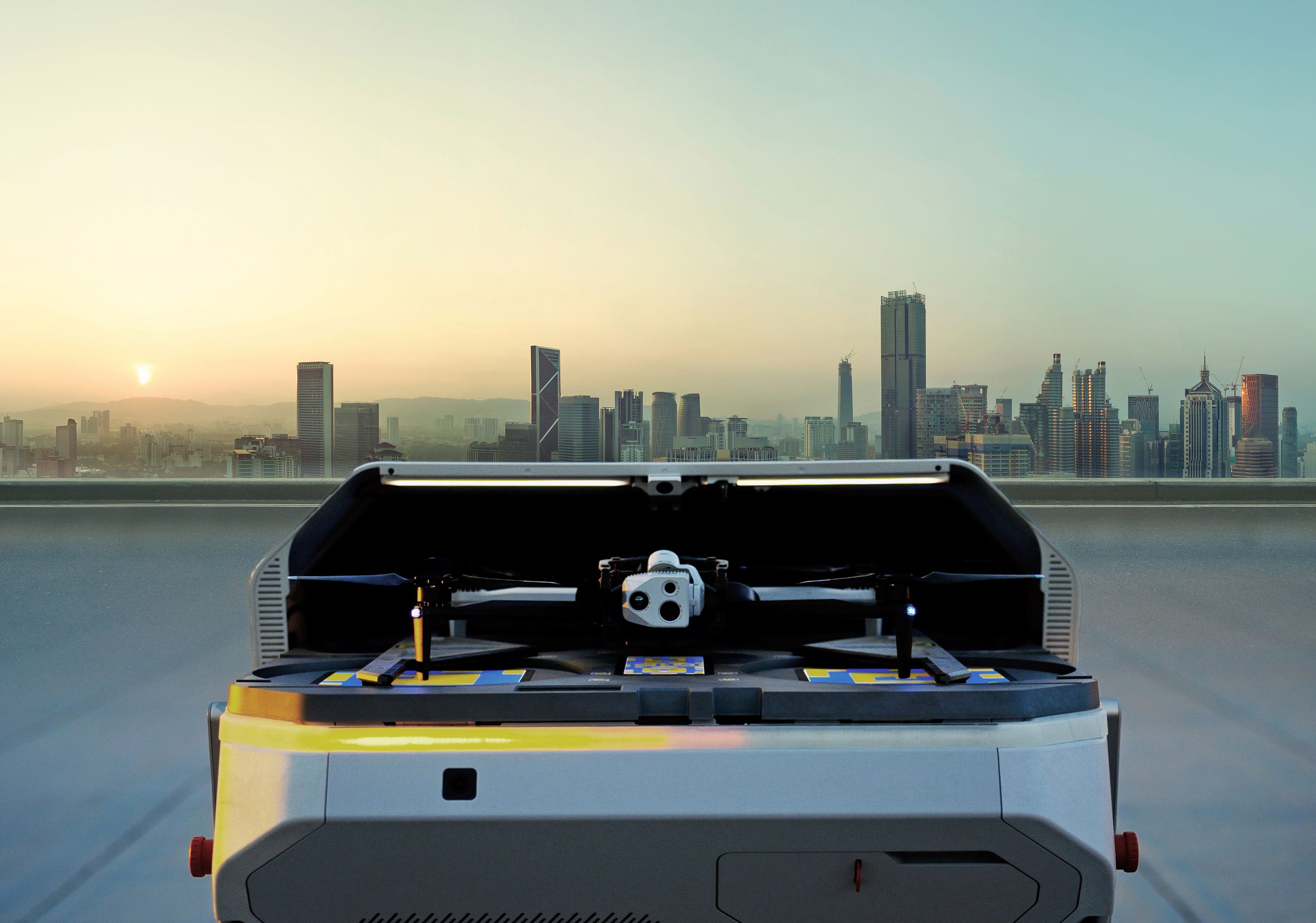
Dock for X10: repeatable capture for mission-critical operations

Many AEC teams need drone data on a recurring basis, not just during one-off flights. Dock for X10 helps make capture automated, repeatable, and scalable.
Flights can be scheduled or launched on demand, helping teams collect consistent, time-stamped data across sites. This is especially useful when stakeholders need regular visibility, project teams need current documentation, or inspections need to be repeated over time.Recurring site documentation
Capture consistent visual records across the life of a project.
Automated inspection routes
Repeat capture around assets, structures, or work areas that need regular review.
Remote operations
Give centralized teams visibility into distributed sites without always sending a pilot or stakeholder to the field.
Consistent data collection
Standardize how, when, and where data is captured across projects, offices, and regions.
Faster stakeholder updates
Make recent site or asset data easier to collect and share with the people who need it.
03 / Regulatory services for programs ready to scale
Most AEC teams start with standard Part 107 operations—a pilot, a controller, visual line of sight. That covers a lot of ground. But as programs mature, the next step is often automating recurring capture or operating remotely across distributed sites. That's where regulations get complex.

Skydio's regulatory team helps organizations navigate that path—from program documentation and waiver strategy to BVLOS approvals and multi-drone operations. Skydio has a dedicated team with decades of aviation regulatory experience, including FAA advisory roles and some of the first BVLOS approvals in the country.
For AEC, this matters when you're deploying Dock at active sites, standardizing operations across regions, or building toward remote inspection programs that don't require a pilot on location for every flight.
What Skydio Regulatory Services covers
- BVLOS waiver strategy and application support
- Multi-drone operations: running multiple aircraft across multiple sites remotely
- Program documentation and concept of operations development
- Dock deployment planning and compliance review
The Skydio team has helped organizations across construction, infrastructure, and transportation secure approvals. AEC programs with similar needs have a proven path to follow.
04 / Built to be easy, from training to the field
Switching drone platforms means your pilots are learning new hardware, new software, and new behaviors. Skydio is designed to make that easier at every step.

Skydio supports transition planning with training and enablement content that helps teams learn the aircraft, practice workflows, and build confidence before deploying in the field.
The X10 is easy to fly
Purpose-built autonomy handles the complexity of close-proximity flight, obstacle avoidance, and repeatable mission execution. Pilots get in the air with confidence quickly.
Training happens before you're on site
Paraverse, Skydio's simulation environment, lets pilots learn the aircraft and practice real workflows before they ever fly on a live site. By the time hardware arrives, your team already knows how to use it.
Detailed enablement resources
Step-by-step videos, mapping workflow guides, and program rollout materials mean pilots and program managers aren't figuring things out alone.
05 / What the transition actually looks like
Whether your team is transitioning from an existing drone program or building aerial capabilities for the first time, every adoption looks different depending on fleet size, project types, and how your pilots and program managers currently work. What stays consistent is the approach:

Step 1: Map your current workflows
We start by understanding what your team actually depends on, including mission types, integrations, data pipelines, and deliverable requirements, so nothing gets broken in the switch.
Step 2: Match Skydio to your program
Your onboarding team helps configure Skydio Cloud, connect your downstream tools, and set up mission templates that mirror what your pilots already know.
Step 3: Get your team flying with confidence
Paraverse simulation lets pilots learn the aircraft and practice workflows before they're on a live site.
Step 4: Standardize and scale
Save missions, standardize capture across offices and projects, and expand into automated operations with Dock when your program is ready.

Ready to move forward?
Skydio helps AEC teams transition to a U.S.-made, NDAA-compliant drone platform while preserving the workflows that keep projects moving.
Talk to our team about your current drone program, target workflows, regulatory needs, and integration requirements.