Skydio 2+ for Wildlife Conservation - The Naretunoi Wildlife Count
Project background
The use of technology, including drones, is rapidly advancing in the field of wildlife conservation. One of the biggest challenges in conservation work is finding effective ways to collect data without causing harm to the ecosystem or endangering yourself. Drones provide a unique solution to this problem, as they can gather data remotely, without disturbing the environment. To continue Skydio’s push into wildlife conservation, we recently sent Harrison Zheng and myself for a week in the Naretunoi conservancy, where we focused on improving wildlife counting with the help of drones.
Naretunoi Community Conservancy
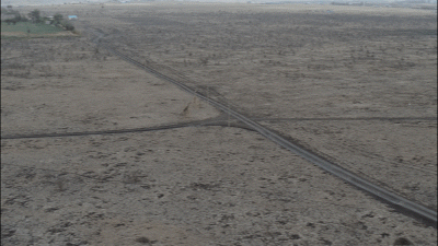
Nairobi National Park is a major tourist attraction due to its ease of access and its abundance of wildlife. South of the park is the Kitengela Dispersal Area, where many of the animals migrate during the wet seasons. It’s a remarkably large area, spanning approximately 2500 square kilometers, over 20 times larger than Nairobi National Park [1].
The Naretunoi Community Conservancy is supported by the community rangers and The Wildlife Foundation. The main goal of the conservancy is to keep the space open for wildlife by preventing fencing. While efforts to fence the southern border of the park in 2018 were successfully prevented, fragmentation is still a major problem for this area. Fragmentation often happens when land gets sold in small plots and the new owners put up fences around the recently purchased land. In small numbers, this can seem inconsequential, but as this practice becomes more ubiquitous, the results can be as devastating as one continuous fence.
The community conservancy works to keep the land open via three main efforts:
- Lease Program
- Education Bursary Program
- Employment Opportunities
As of writing this, there are a total of 56 families under the lease program and the conservancy is an impressive 6,250 acres. You can read more about the Naretunoi Community Conservancy and The Wildlife Foundation’s support here.
Conducting wildlife counts remains a pillar of the conservation efforts in this area as well. The Wildlife Foundation holds a wildlife count in the Naretunoi Conservancy every two months on the same day the Kenya Wildlife Services (KWS) holds their count inside the park. Counting both inside and outside of the park is key as the wildlife migrate south into the Naretunoi Conservancy during the wet seasons, and back north into Nairobi National park during the dry seasons. Through these wildlife counts, we can see how environmental and human imposed conditions are affecting the wildlife populations.
Skydio for counting wildlife
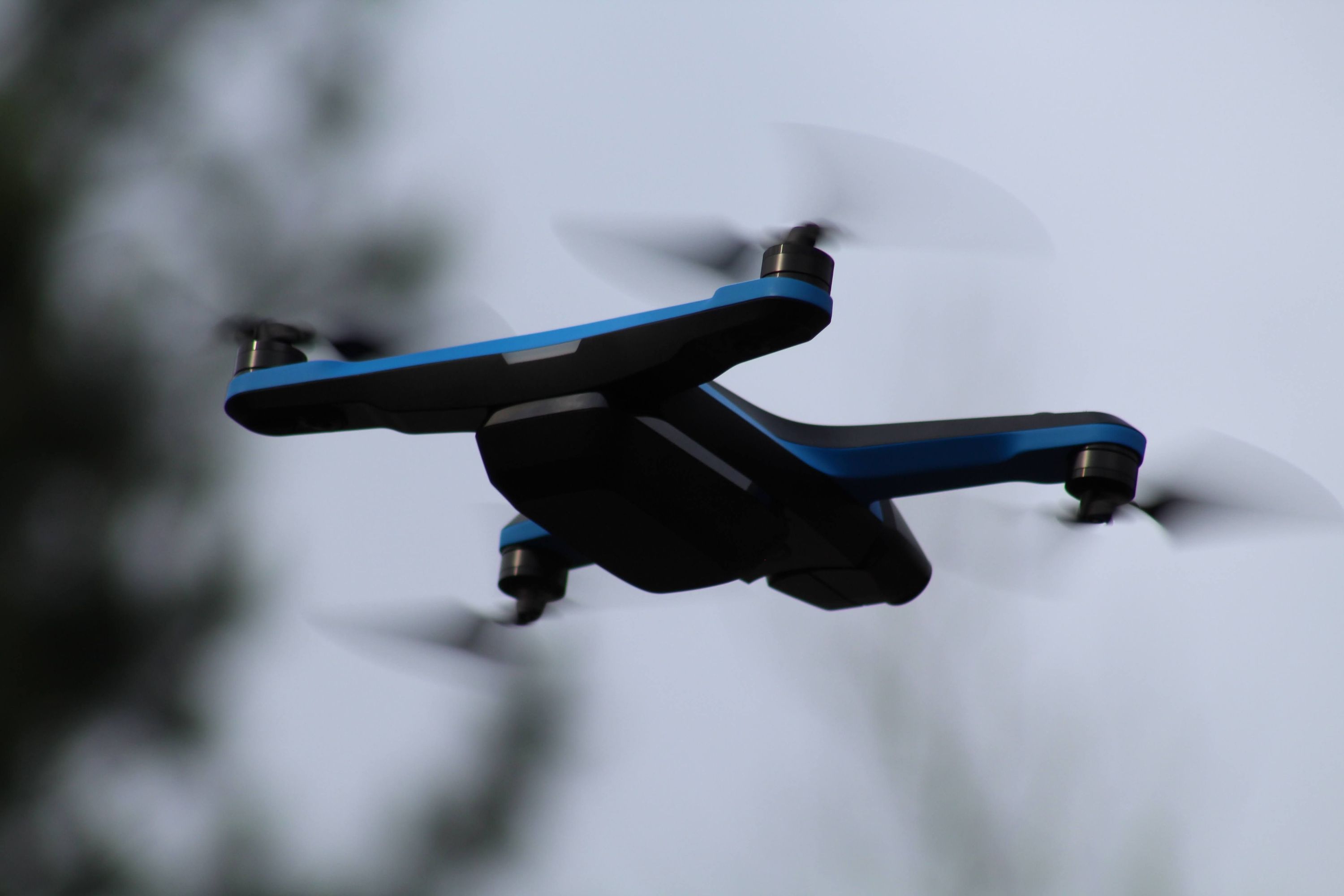
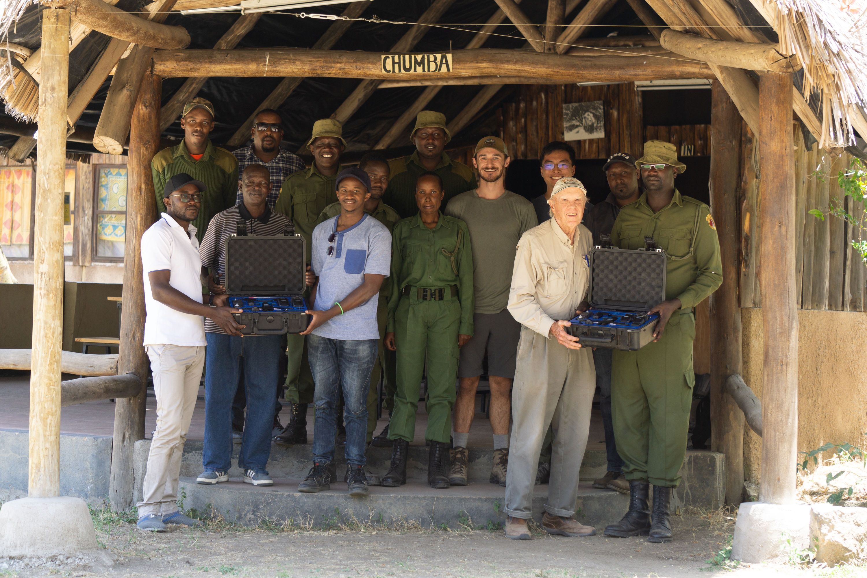
Skydio partnered with Kenya Flying Labs, one of many independent and locally led NGOs specializing in drone technology, to further the knowledge around drone applications in conservation. We donated 2 Skydio 2+ Pro Kits directly to the Kenya Flying Labs in support of The Wildlife Foundation’s efforts to improve wildlife counting with the help of AI and robotics.
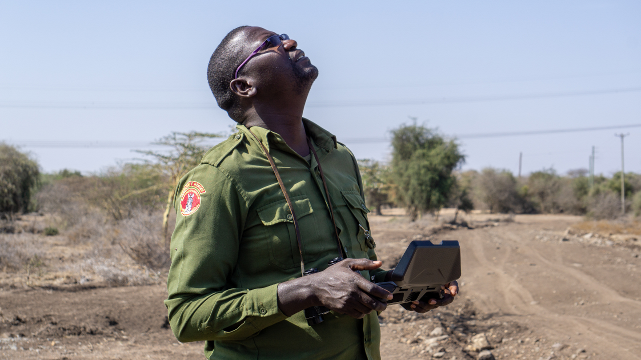
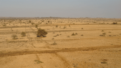
The logistics and execution of this project are quite a feat. Covering 6,250 acres of land with only dirt road access can be challenging, especially with changing conditions year round. Stopping at each wildlife sighting to launch a drone wastes valuable time, and manually flying the drone to keep up with the vehicle while performing the wildlife count adds complexity for the pilot. This is a perfect use case for Skydio Scout, a skill that allows the user to fly relative to a GPS position with the ability to reposition in real time. Scout allowed us to have uninterrupted flight for the duration of the wildlife count, while reducing the chance of operator error.
The intention was not to replace the rangers with robots; it was to enhance the rangers’ expertise by adding an aerial point of view. Technology filled in gaps when searching inaccessible areas, and providing hard confirmation of the count.
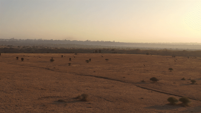
Surprisingly, spotting wildlife is not a primary use for the drone. In the days before the wildlife count, data from our practice runs showed that the rangers were much better at initially spotting the animals then our drone operators were. For example, in block 1 of the wildlife count, only 5/21 sightings were seen by the drone operator first. That means more than 75% of first sightings were from the ground! What the drones provided was confirmation of our counts from the ground. We were able to confirm all but one sighting when reviewing footage and ended up correcting two miscounts.
Other applications
Human-wildlife conflict mitigation
Due to humans and wildlife living in the same area, the community is affected by predators (primarily lions) killing their livestock. Economic programs reimburse the loss of livestock due to predation which helps combat killing lions to avoid livestock death. When a lion is in a situation where it can cause harm to a human, the result is usually the death of the lion. Lion lights (a bright flashing light at night) have been shown to scare away lions, but are not 100% effective.
We explored nighttime operations with the Skydio X2 to see if spotting predators at night around cattle was feasible. While we didn’t have any luck spotting a lion near cattle, we saw a very similar situation.
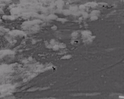
After launching at 5am and searching for about 10-15 minutes, we spotted two Maasai giraffes near a herd of sleeping cattle. While the giraffe is certainly the most recognizable animal through a thermal feed due to their long necks, the body language and movement profile of other animals provided valuable information. Spotting a lion, and preventing the loss of any life with a Skydio X2 seems promising, something we were interested in exploring from our previous wildlife trip to Namibia.
Isolated data capture
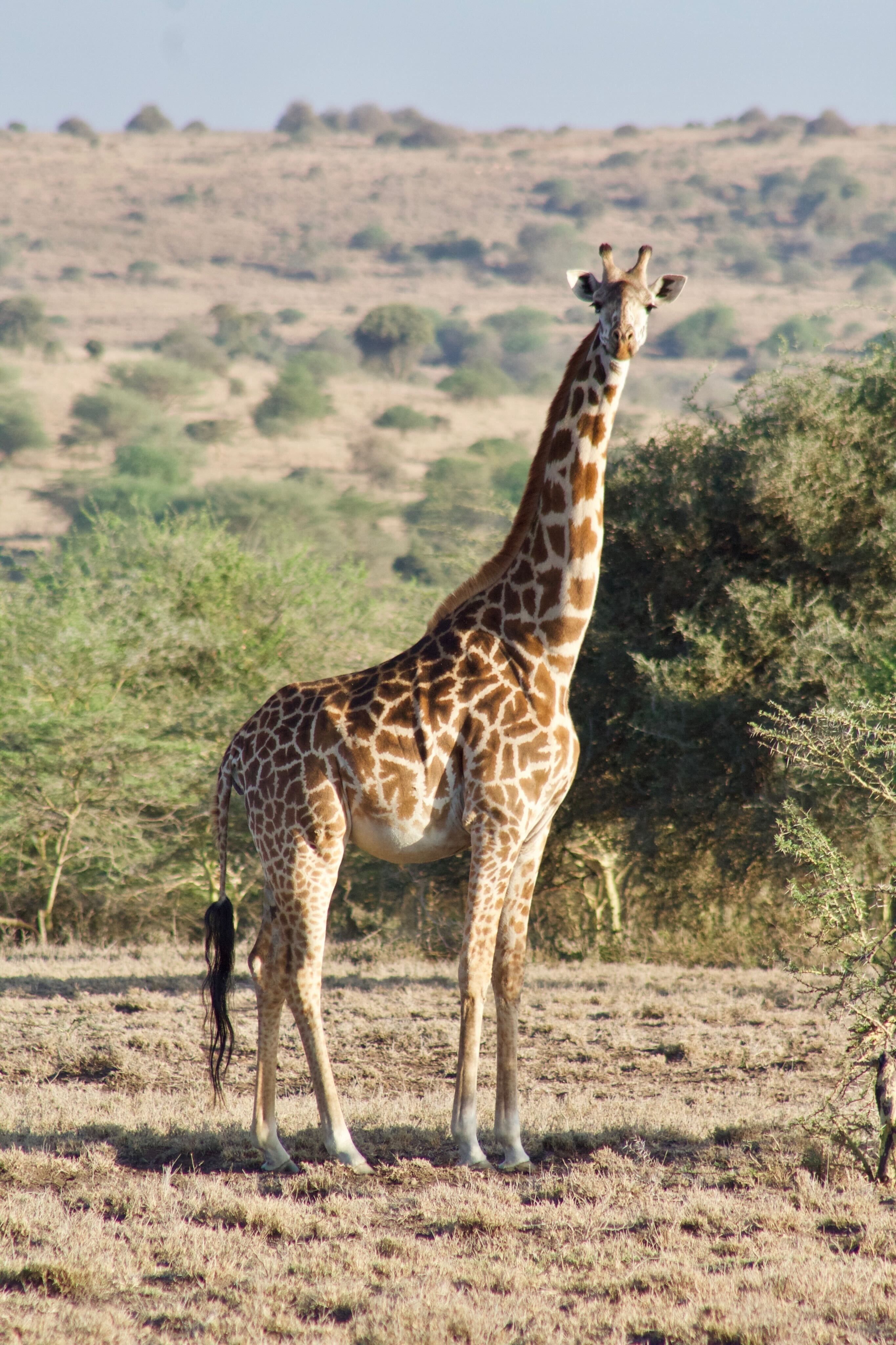
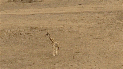
A local non-profit, the Giraffe Conservation Foundation, is working on a project to uniquely identify giraffes based on the patterns of their markings. The path to success is having enough data to train such an algorithm. Below is a photo of a Maasai giraffe, captured by a Skydio X2 approximately 20 meters away. Careful to not disturb the giraffe, we flew downwind from the animal, and slowly approached until the giraffe noticed the drone. The giraffe was undisturbed, but cautious of the noise coming from the drone’s propellers. With the X2’s low noise profile, we were able to get close enough to get amazing data.
Capturing photos by hand can be a lengthy process; with drones, one can spot a giraffe from a distance, and fly out to capture the required data. Below is a photo of a giraffe family that we spotted from ~1.5 kilometers away. We initially spotted only 2 but after deploying the drone, found there were actually 3 giraffes. We captured this data within 15 minutes, something that would have taken an hour otherwise.
Skydio’s continued presence in wildlife conservation
As we continue to build out exciting new products for our customers, increasing our involvement in the wildlife conservation space remains a core value important for Skydio. This space provides unique opportunities to understand and improve our product in otherwise unattainable ways, all while making a positive impact on our planet. We are thankful to Kenya Flying Labs and The Wildlife Foundation for their interest in using our technology, and we look forward to partnering alongside these and other organizations to help build a better tomorrow.
If you are interested in how Skydio and our drones can help with you wildlife conservation initiatives, please contact us.
Sources: [1]