


Asset Inspection
Capture every detail.
Inspect assets safely, quickly, and from any angle with a Skydio aerial inspection program.
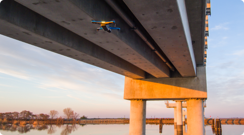
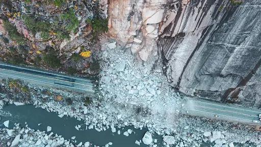
From bridges, to refineries, to construction sites, a Skydio aerial inspection program modernizes any inspection and maintenance plan with automation powered efficiencies, best-in-class sensors, and lower risk for workers.
How Skydio makes inspections more efficient, precise, and safe.
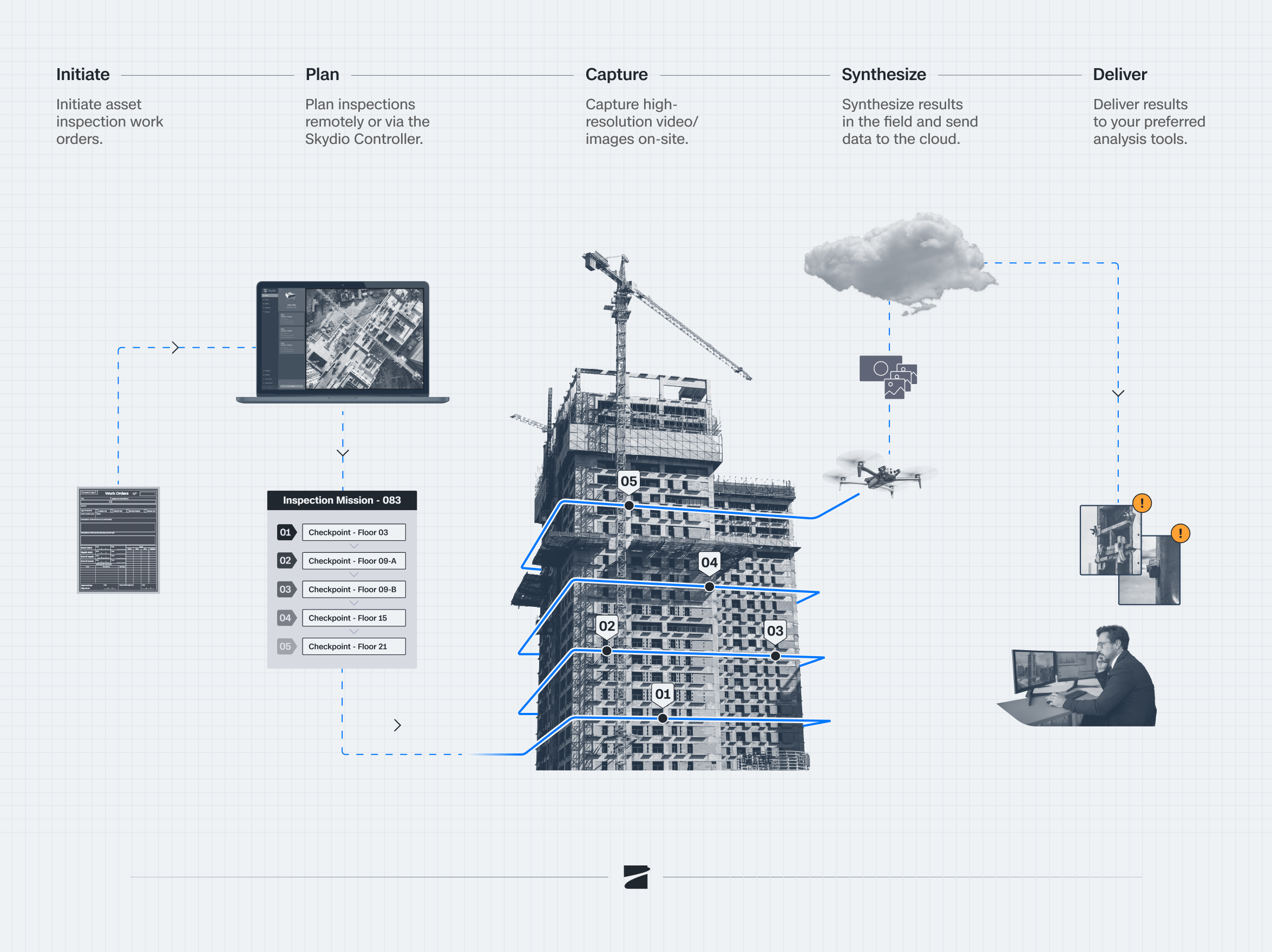
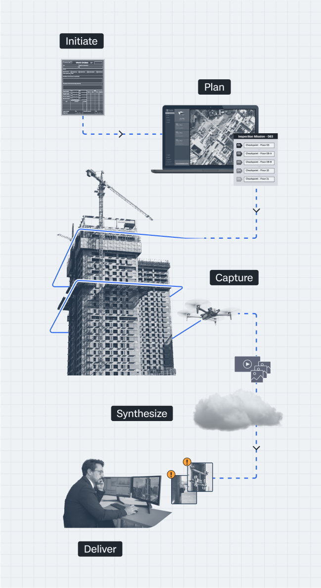
Unlock efficiency powered by automation.
Automate inspections from start to finish. With asset-based mission planning, your existing asset data becomes ready-to-fly missions in just a few clicks. Capture more accurate data, inspect more often, and scale coverage—all without adding headcount.
See every detail.
Before it’s too late.
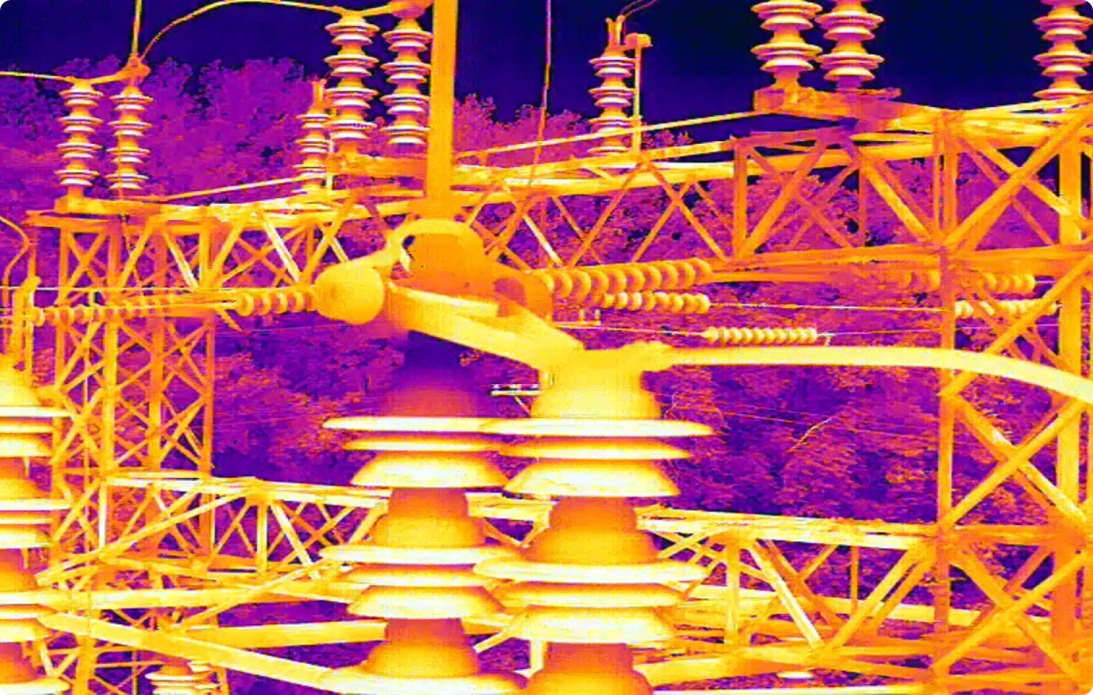
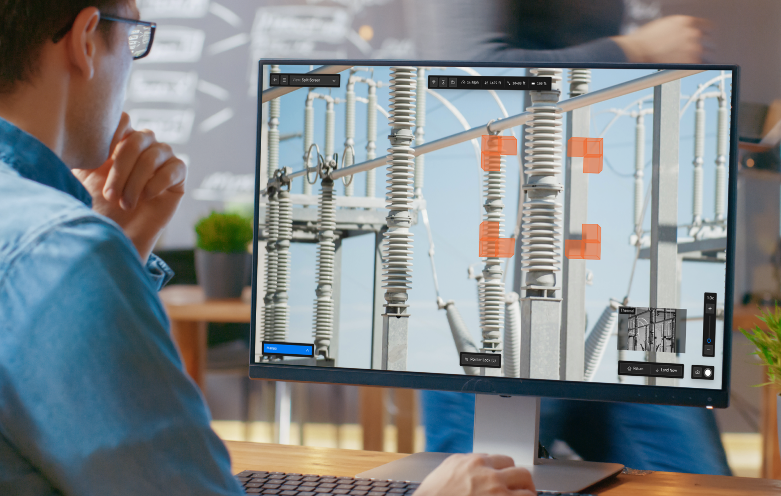
With best-in-class sensors, thermal imaging, and the ability to access hard-to-reach vantage points, you’ll get a complete picture of your assets down to the millimeter, to stop incidents before they start.
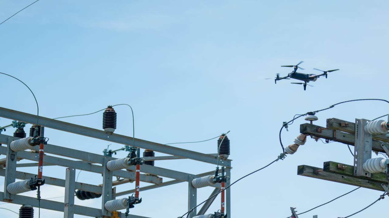
Keep your team and your assets safe.
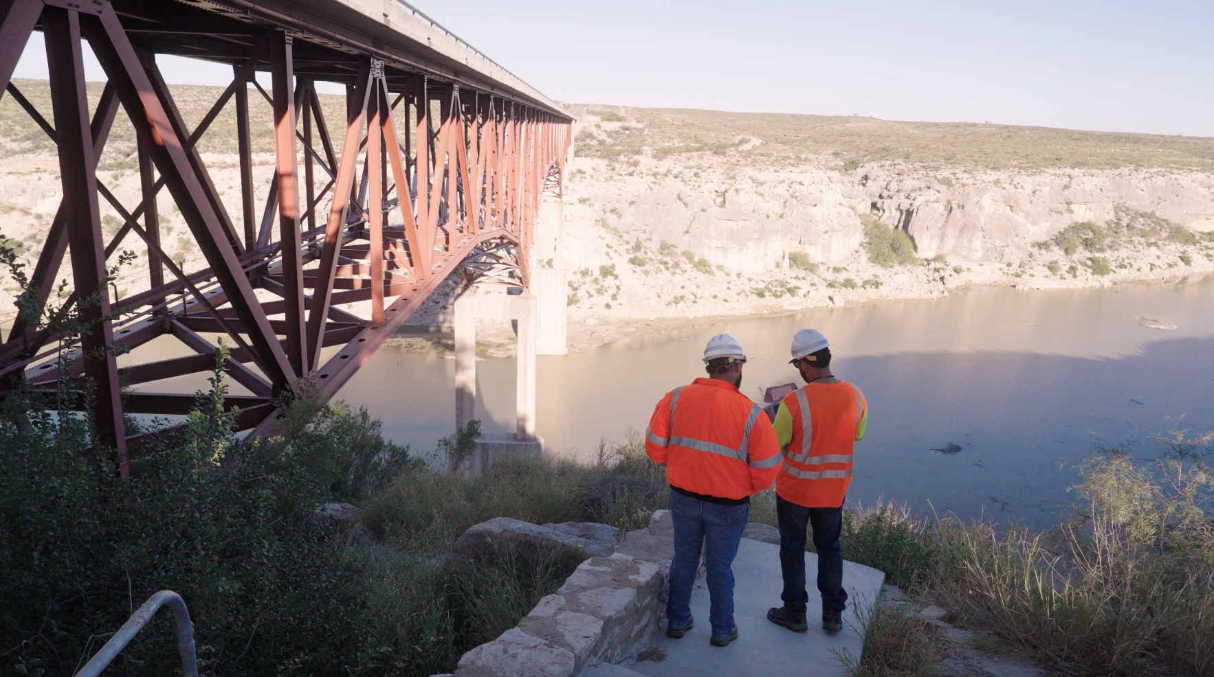
Traditional inspections expose workers to hazards, including climbing, rappelling, scaffolds, and energized environments. Skydio drones redefine what's possible, allowing inspections to be done safely from the ground—or even remotely—so your teams don't have to take those risks.
Scan assets autonomously for detailed, interactive 3D models using your preferred photogrammetry software.
Versatile inspection solutions anytime, anywhere.
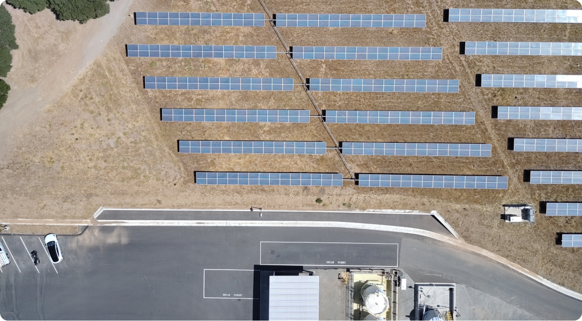
 Solar installations.
 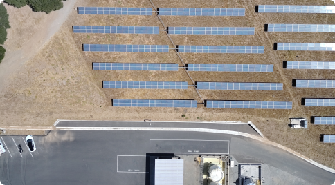 Telecoms assets.
 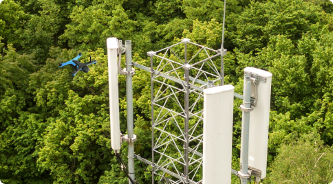 Construction sites.
 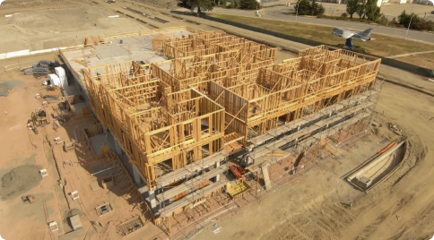 Real estate.
 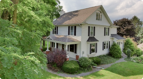 Utility infrastructure.
 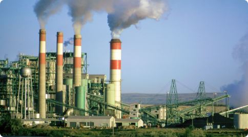 And more.
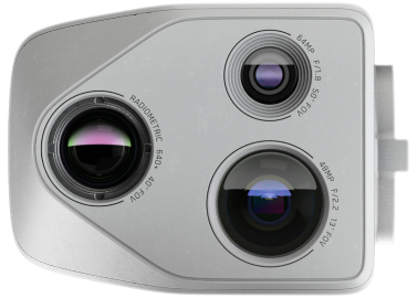
Skydio X10: The right tool for any task.
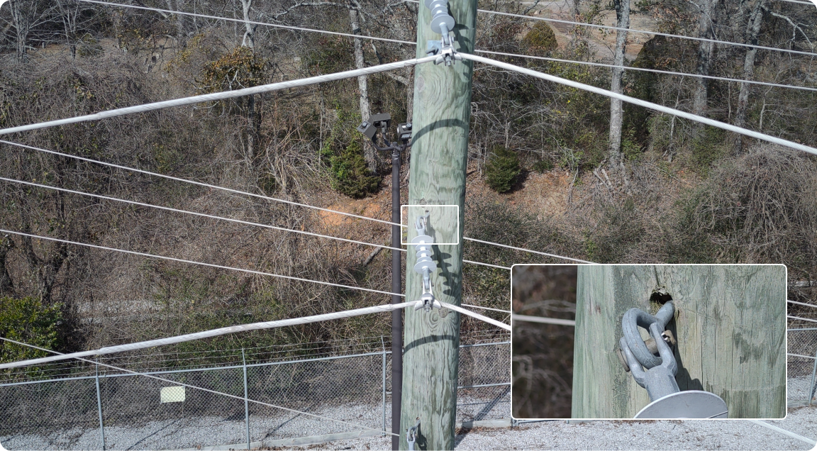
Put entire sites in focus with
state of the art camera modules.
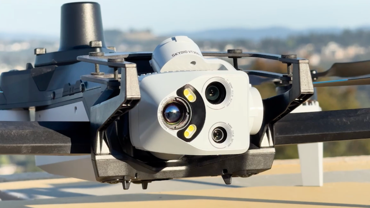
Taken with VT300-Z. Narrow camera module
50mm, f/2.8, 1/500s, ISO 200
Detect anomalies down to the
.1mm level.
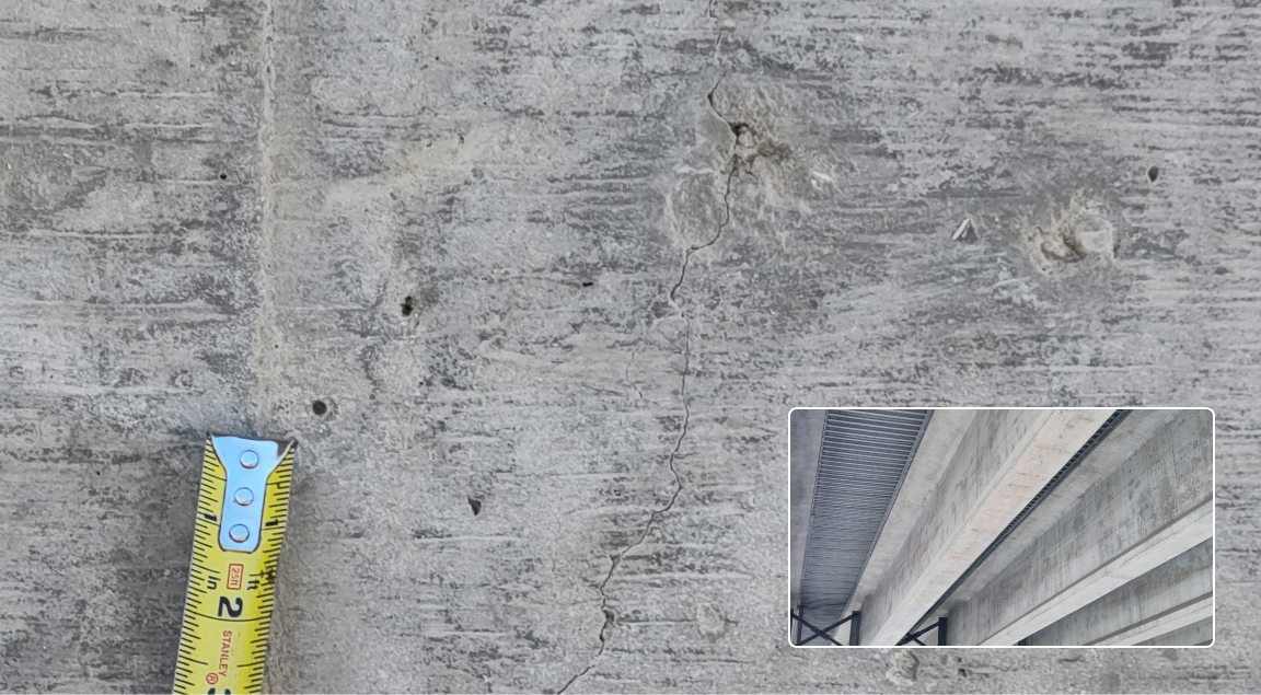
Taken with VT300-L. 1” Wide module & onboard light
50mm, f/2.8, 1/500s, ISO 200
Inspect every detail from safe distances
with a telephoto lens module.
Taken with VT300-Z. Telephoto lens
50mm, f/2.8, 1/500s, ISO 200
Get outstanding images in low light with
extended HDR capabilities.
Taken with VT300-Z. Narrow camera module
50mm, f/1.8, 1/300s, ISO 800
Recommended inspection options.

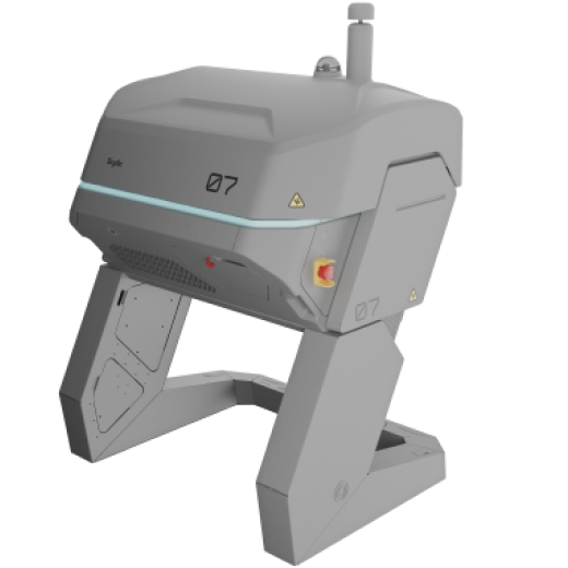


Attachments


Let’s take the first step together.
Resources
Learn more about asset inspection.
The Impact of Drones on Infrastructure Inspection and Projects
Real-world accuracy testing of the Skydio X10 with RTK
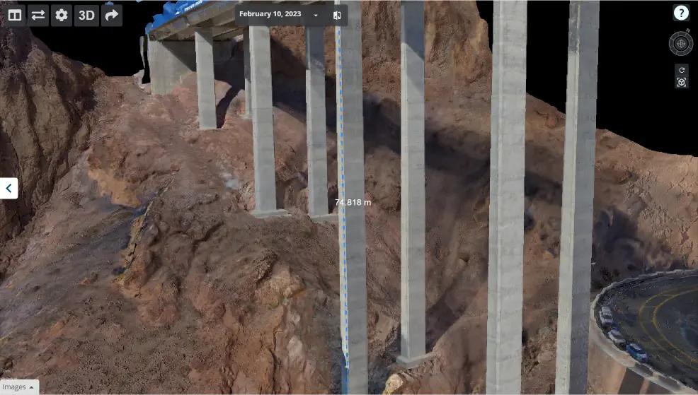
Transforming the Way Bridges are Inspected with Skydio
How Utility Companies Use Drones for Inspections
1 Always fly X10 in compliance with applicable laws and according to the Skydio Safety and Usage Guidelines
2 Remote piloting and continuous live-stream are dependent on cellular network connectivity. BVLOS permit required for remote flight.