The command center for Drone as First Responder.

DFR Command connects the call to the aircraft, live intelligence to the responders, and the mission to the record. One command layer supports every response so agencies can add drones, docks, new locations, and support more missions without creating separate systems or workflows.

DFR is not a drone feature. It’s an operating model.

A DFR program depends on more than the aircraft. Calls and alerts must reach the operator. Live video must reach field and command. Flight data and footage must become part of the mission record. DFR Command coordinates that workflow and connects it to the systems agencies already use.

One program across every aircraft.

Operate X10, R10, and F10 through one DFR program. Manage drones, docks, software, and maintenance in DFR Command.

The right access for every role.

Connect DFR Command to your agency’s existing single sign-on and define access based on each user’s role.

Report beyond the case file.

A DFR mission does not end when the drone lands. DFR Command preserves the record of every flight. Response activity and program value are reported to command staff, elected officials, and funding stakeholders.

One workflow, from the first call for service to the final evidence upload.

Response starts before the drone takes off. Bringing calls and alerts into the operator workflow shortens the path from first alert to launch.

  • Create negative response time. Supported NG911 integrations surface live call transcripts, summaries, and location before a formal CAD event exists. The drone response begins while the 911 call is still being processed.
  • Launch directly from the call. The incident location is already populated. Confirm the launch and get airborne in less than 16 seconds, without re-entering an address or switching systems.
  • Send the aircraft from the field. With Axon integrations, officers request drone support directly. Operators send the aircraft to custom waypoints or officer locations from connected body-worn cameras.

DFR Command and the Skydio Airspace Assurance System (SAAS) help operators plan the route, see nearby aircraft, and maintain connectivity without losing focus on the call.

  • Skydio Pathfinder plans a safe, efficient route. Autonomy accounts for terrain, structures, agency boundaries, geofences, and airspace restrictions.
  • Built-in ADS-B helps maintain awareness of crewed traffic in the vicinity and pushes alerts to operators as required.
  • Connectivity that keeps pace. Skydio Connect Fusion+ combines direct radio and multiple cellular connections for resilient command, control, and live video across the response area.

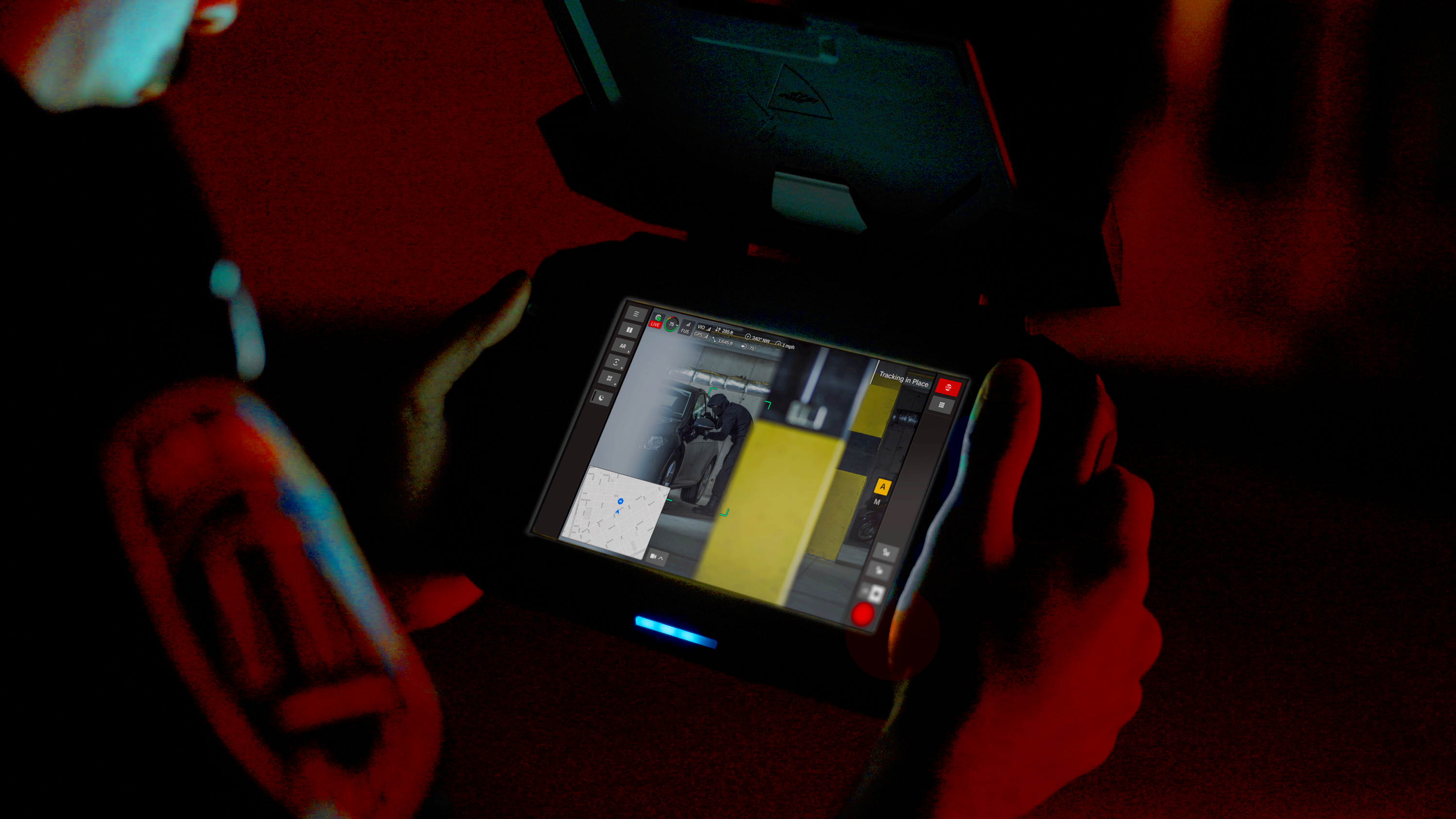
DFR Command gives operators live video, call context, maps, aircraft status, and flight controls in one interface, from the command center, the field, or a vehicle using a Mobile Data Terminal (MDT).

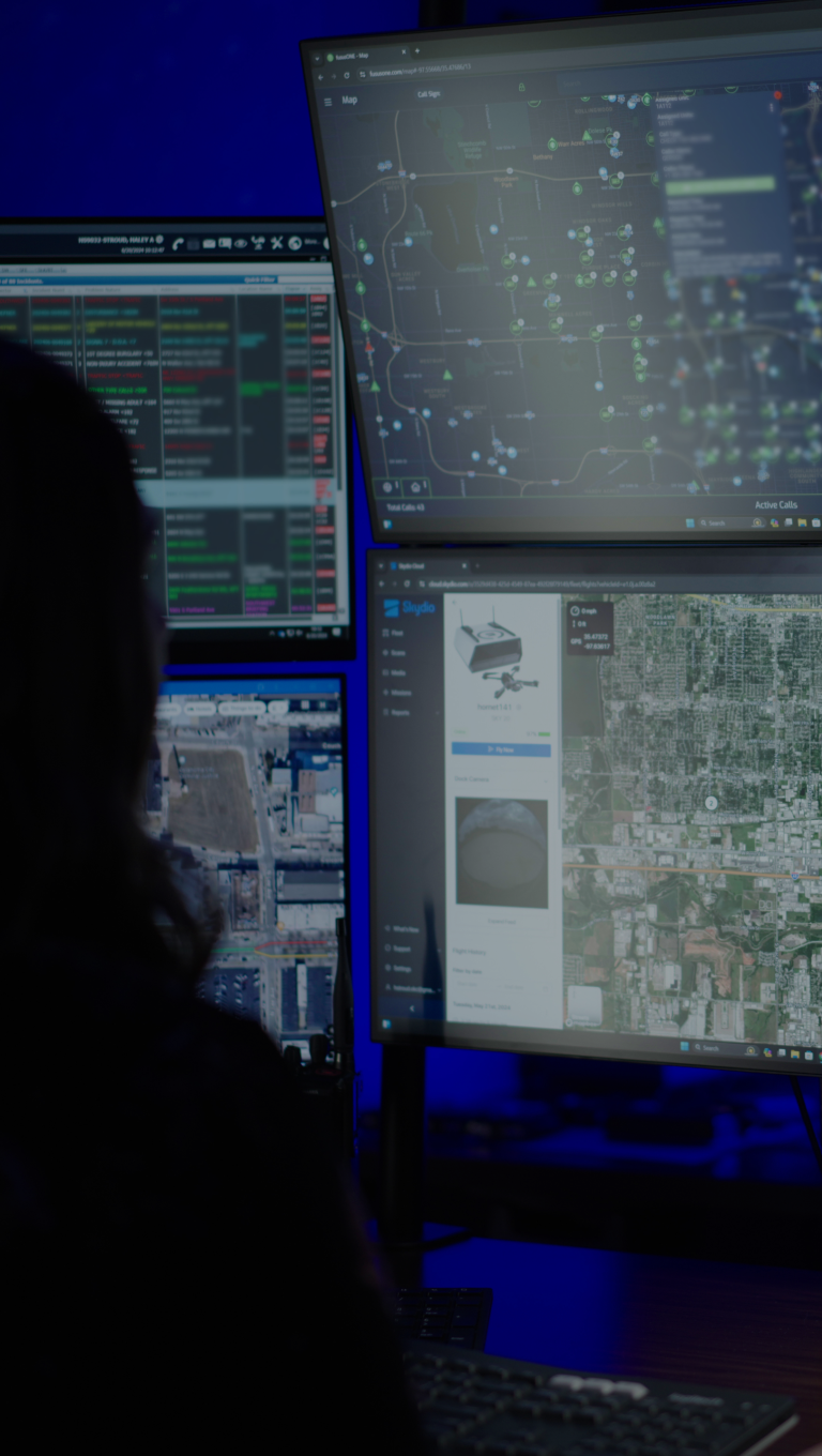
  • Share one live view. Use ReadyLink to share live video with command staff and other authorized users on a phone, tablet, or browser. FlightCast keeps active flights visible on RTCC screens alongside other incident information.
  • Keep the response oriented. Street and address overlays help operators orient quickly and communicate locations to units on the ground.
Supervisor on the street viewing live view of unfolding incident on phone

Every call produces media and flight data. DFR Command routes both into the systems that preserve the record and protects the data on the way.

  • Flight media uploads automatically into supported digital evidence-management systems such as Axon Evidence, with a clear chain of custody.
  • Protect sensitive data with enterprise-grade cybersecurity, SOC 2 Type II compliance, and CJIS Security Policy compliance. Audit logs support review and accountability.

Agencies use the Transparency Dashboard to share selected flight details, including when, where, and why a drone flew.

  • A public record people can understand. Flight date, time, path, and mission purpose are published in plain language, not in agency codes.
  • Agencies choose what is published. Date and time are always public. Location detail and incident information are set by the agency.
Build trust and share flight data with the community with the Transparency Dashboard available with DFR Command
Anita KoesterDivision Chief, Lakewood Police Department
“

In 22 weeks, we have handled over 1200 calls for service in our deployment area, we have cleared, as of this week, 41% of those calls for service without any officers needed. We are now at 80%, the drone is on scene first, and we have made 115 arrests, 100% because the drone was on scene and it was the critical component of making that arrest.”

Scale DFR to multi-drone operations.

As call volume grows, agencies need more response capacity without operator staffing growing one-for-one with aircraft. With the required FAA approval, one operator flies multiple aircraft at the same time.

One operator, multiple drones.

Manage multiple drones from one browser-based interface, with live views and aircraft status together.

Respond to overlapping calls.

Send one drone to a new call while another remains on scene or returns to land.

DFR Command UI action - Sending one drone to a new call while another remains on scene or returns to land.

Keep eyes on scene longer.

Deploy another aircraft before the first returns to maintain aerial continuity.

DFR Command UI action - on station drone relief

Focus on the call, not the flying.

DFR Command presents capabilities from the Skydio Airspace Assurance System (SAAS) that support routine flight tasks, allowing the operator to focus on the call and the information responders need.

No route to plan.

Pathfinder puts the aircraft on its way while the operator assesses the best response.

Deconfliction is built in.

ADS-B shows nearby cooperative aircraft, and Skydio drones automatically detect and separate from other Skydio drones operating nearby.

Skydio DFR Command ADSB alerts

Keep subjects in view.

Skydio Shadow helps keep a selected person or vehicle in frame in color or thermal views, reducing cognitive load on the operators.

Make transparency part of the program from day one.

Agencies define when drones may be deployed, what may be recorded, who may access video, and how flight activity is reported. DFR Command keeps the record of what flew, why, and who had access.

Show why every flight happened.

Supported CAD integrations carry the incident type into the flight record. The public record shows the reason a drone flew, not only that it flew.

DFR Command Transparency Dashboard flight path

Keep flights tied to incidents.

DFR Command connects each flight with the incident or mission that prompted it. The Transparency Dashboard is organized around flight activity, not people or vehicles.

Less work for agency personnel.

Give community members, elected officials, and oversight bodies one source for program activity, reducing the need to respond to routine information requests individually.

The complete solution for DFR at scale.

Works with what you use.

Skydio DFR Command integrates with software you use

Capable of more.

Run every DFR response through one command center.

What team would you like to contact today?

Support