
Sundt is using Skydio’s 3D Scan to create incredibly detailed and highly accurate models. We use them to replace traditional means of 3D modeling, which are user-intensive and have high failure rates.
Construction: Drones for Site Monitoring
Keep your project
on schedule and budget
by capturing data early and often through every phase of construction
Reduce inspection times and minimize costly rework
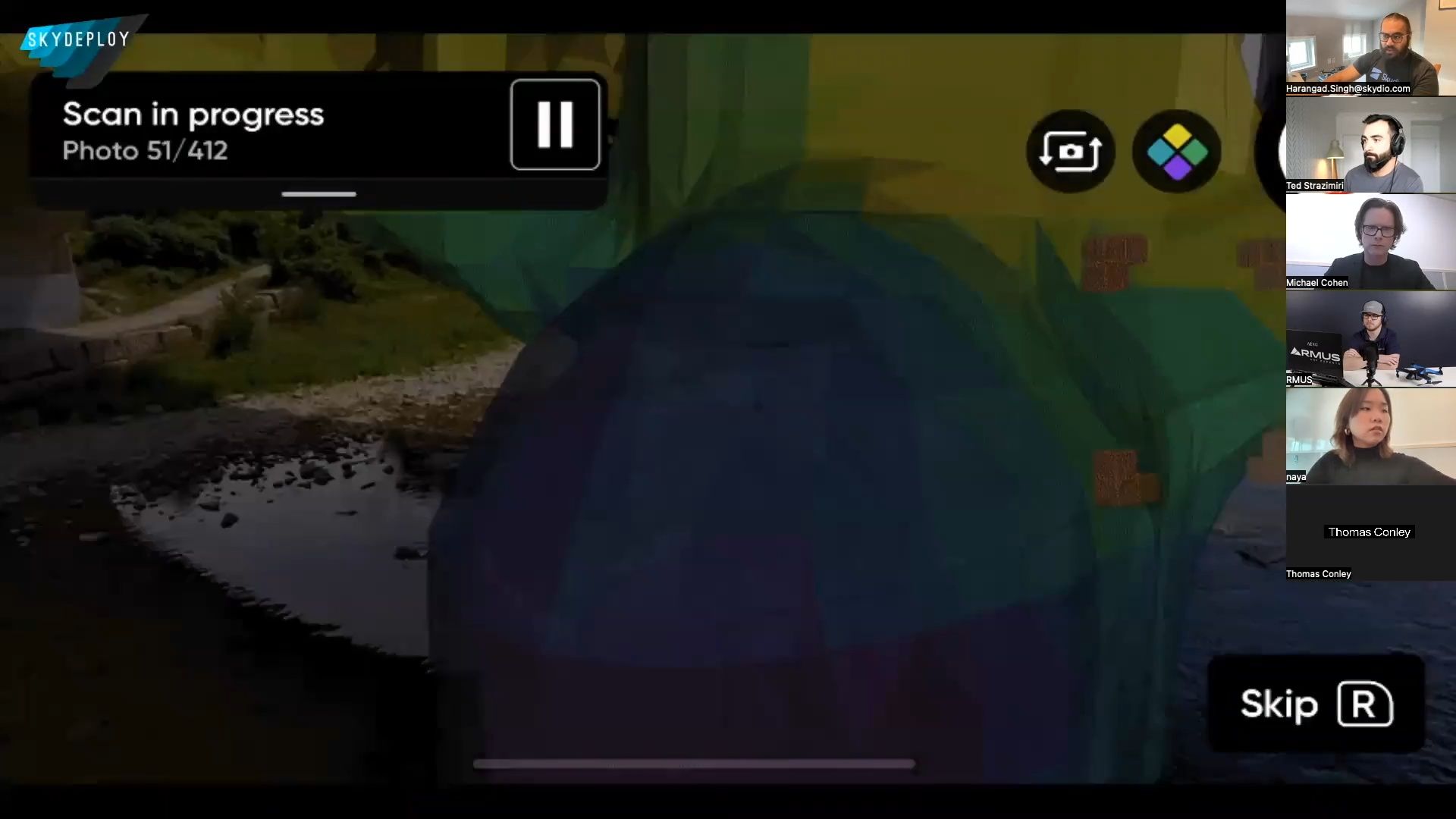
Capture high-quality inspection data as often as you need to ensure your as-built assessment matches your blueprints through every phase of construction. Use Skydio drones to streamline communication and improve your Building Information Management (BIM) process. You’ll be able to monitor progress closely and spot issues early to mitigate risk and keep projects on time and on budget.
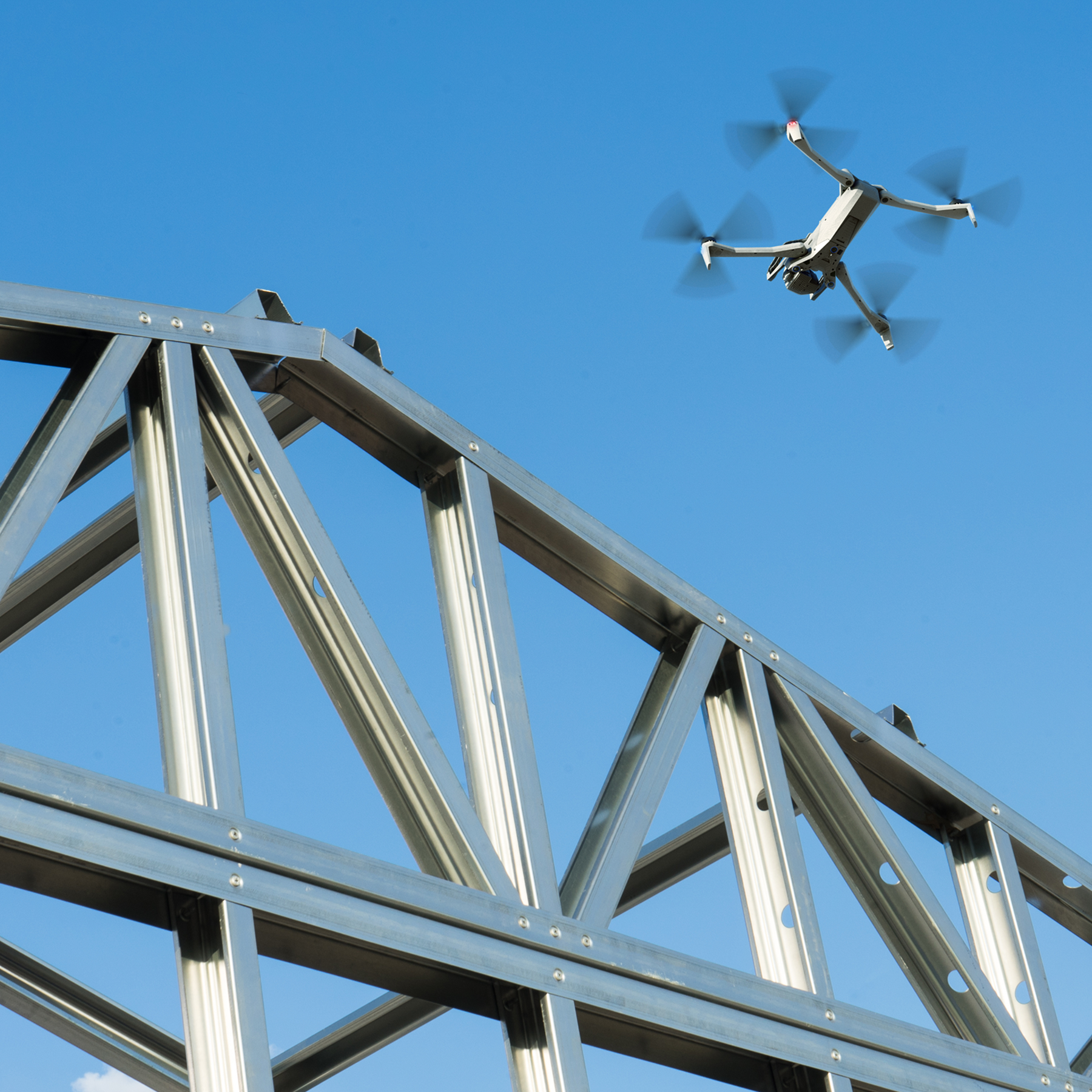
Skydio drones are easy to fly and hard to crash. Anyone can fly one like a pro with just a few hours of training. Our AI-driven autonomous technology enables them to navigate the toughest, tightest environments with ease.

Reduce construction rework by 80%.
No other construction inspection solution performs like Skydio
Capture high-quality data safely and efficiently
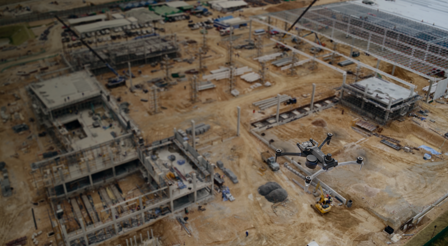
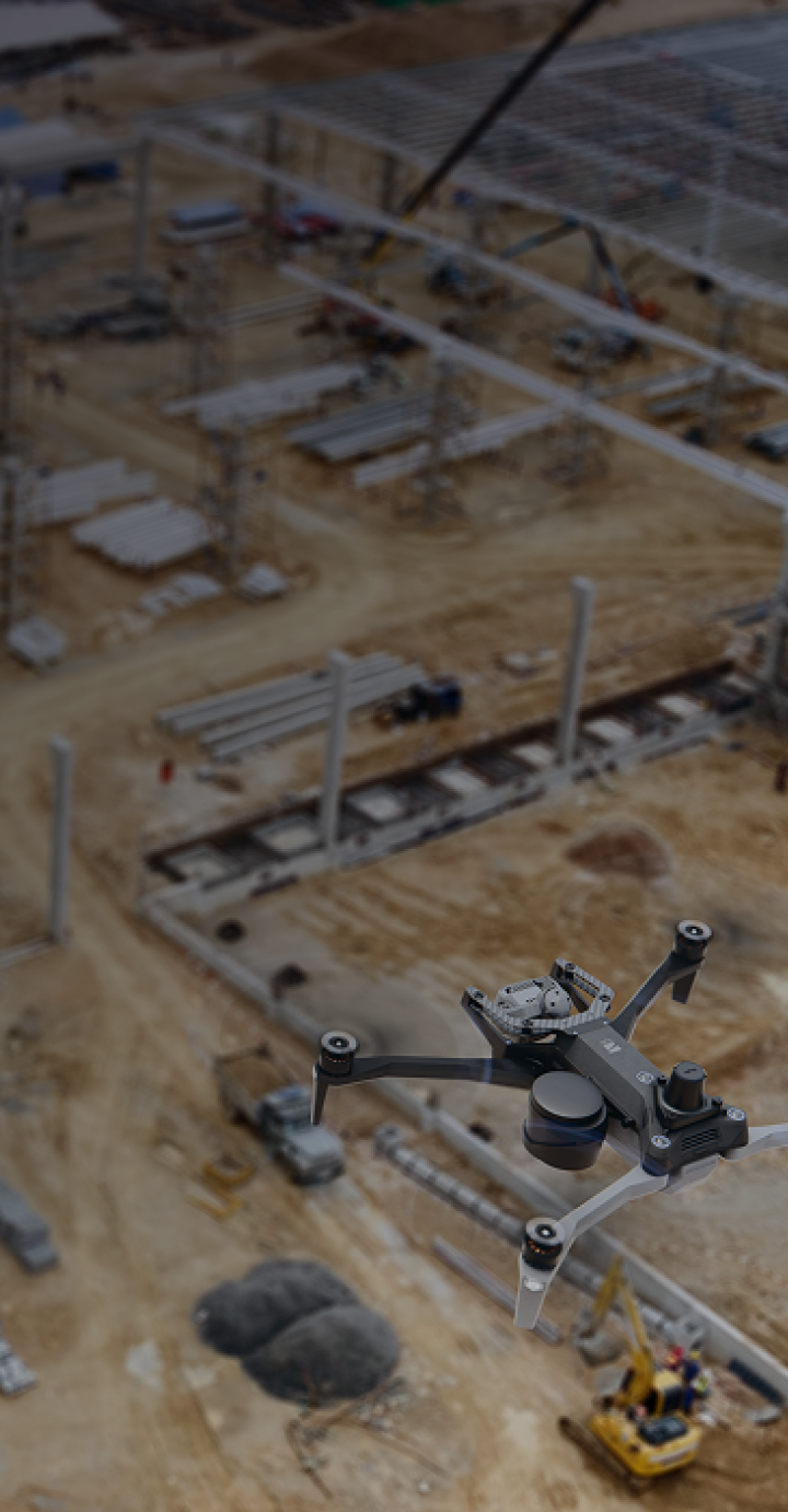
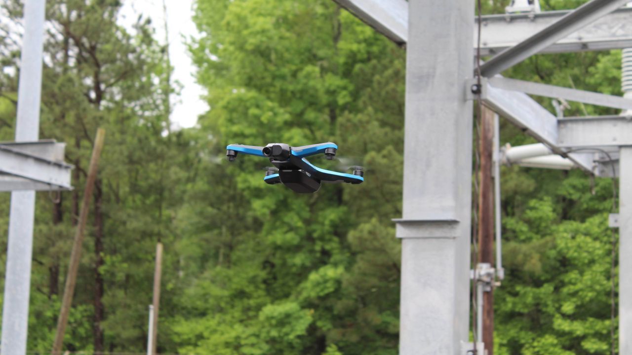
Skydio drones capture better quality data and keep your employees out of harm's way, because our drones are designed to go where other drones don’t dare. Our six-camera visual navigation system doesn't rely on a GPS signal or get jammed by electromagnetic interference. Our autonomous drones can fly almost anywhere, get closer and capture high quality imagery without the fear of crashing.
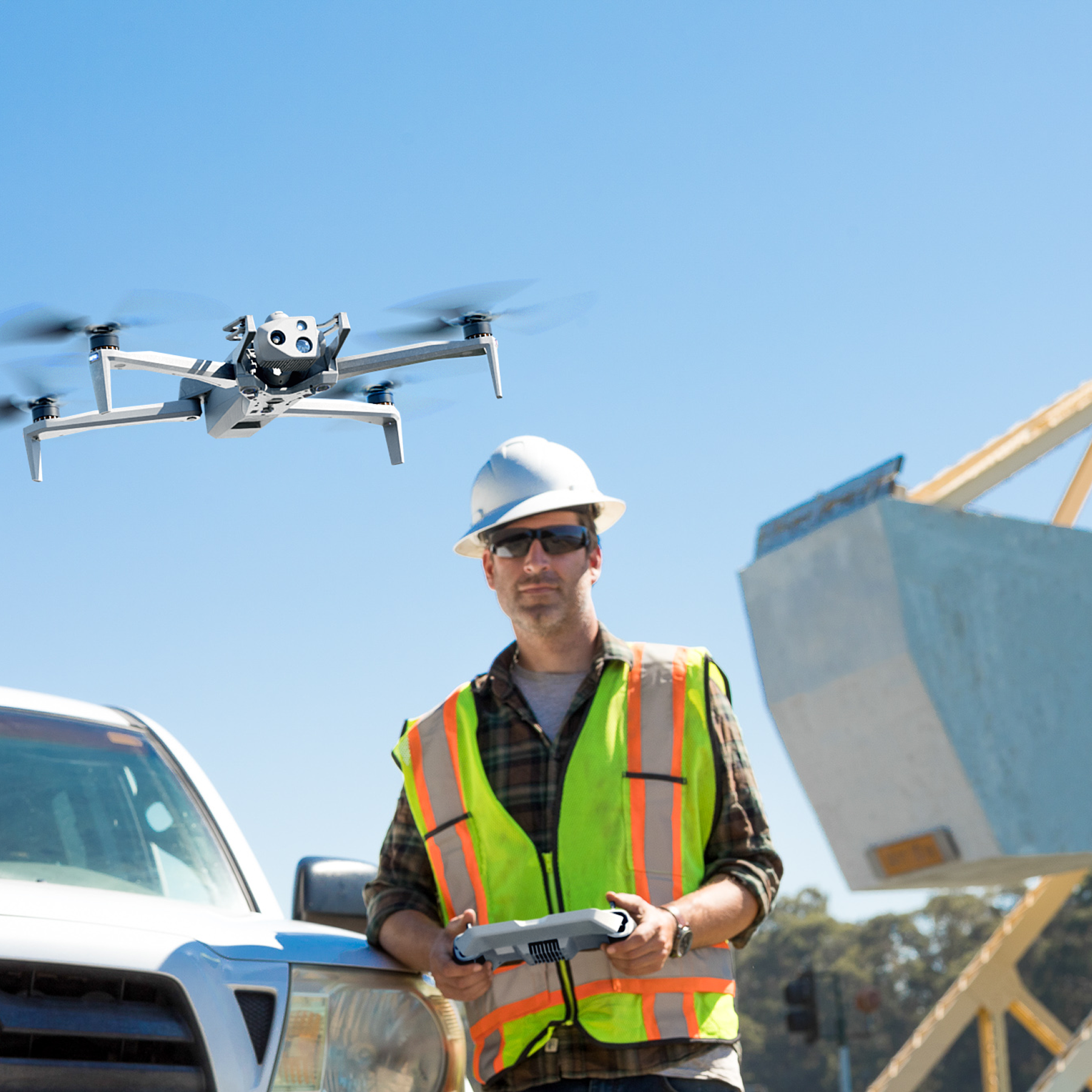
Safely inspect your site with drones that are easy for anyone to fly
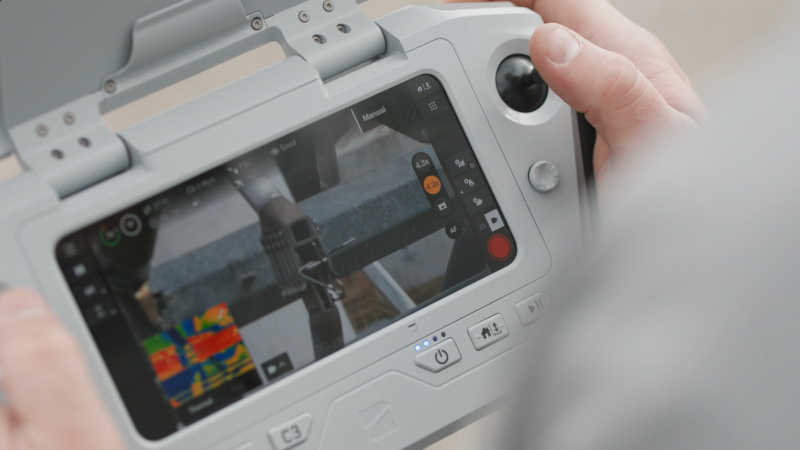
It can take weeks and 100s of hours of flight time to learn how to fly a traditional drone. Not Skydio. Our autonomous technology enables operators with minimal experience to fly like pros in just a few hours. AI-powered obstacle avoidance enables them to get close to structural components, flying easily through doorways and windows without crashing, to capture every shot you need. That makes it easy to scale your construction drone program.
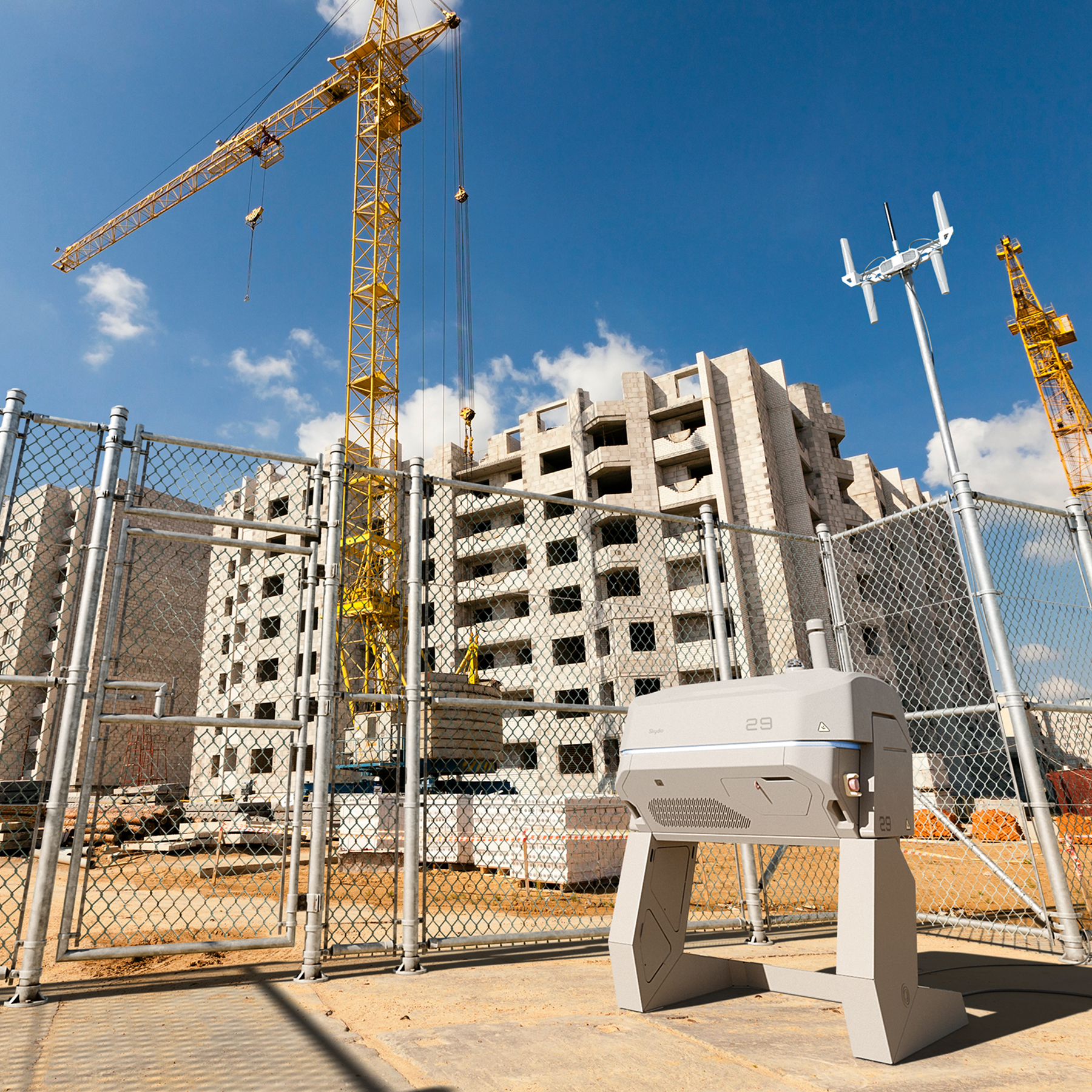
See on-site from off-site
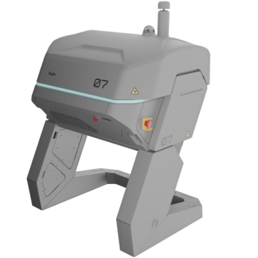
Monitor construction progress, safety and securely from remote locations. Conduct missions remotely using Skydio Dock with Remote Ops. Plan and schedule your mission remotely to capture photos, videos and panoramas autonomously, as often as you need it. Plus, you can also fly ad-hoc inspections with no pre-planning — operating the drone from your web browser — anytime you like.
Three more reasons construction leaders love Skydio
Autonomous Data Capture
Capture high-quality datasets autonomously to generate high-fidelity 2D and 3D models from every angle for better BIM.

Trusted Source
Invest in a platform that is designed, assembled, and supported in the USA.

Regulatory Guidance
Engage our team of experts to help you through the Beyond Visual Line of Sight (BVLOS) waiver process.

Let us show you how to dramatically reduce rework.
Get better data on site progress with this Skydio Construction Inspection solution


Resources
Learn more about construction drones

Turner Construction: Inside the Job site of the Future
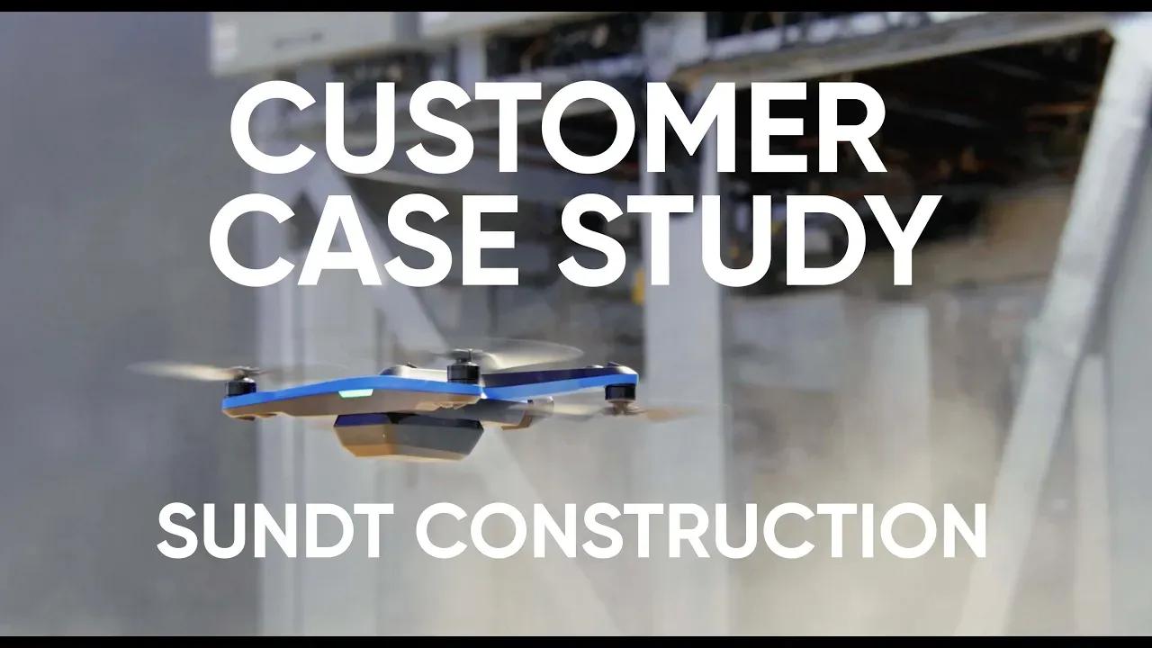
Sundt Construction switches from DJI to Skydio to generate 3D models faster, better, and safer
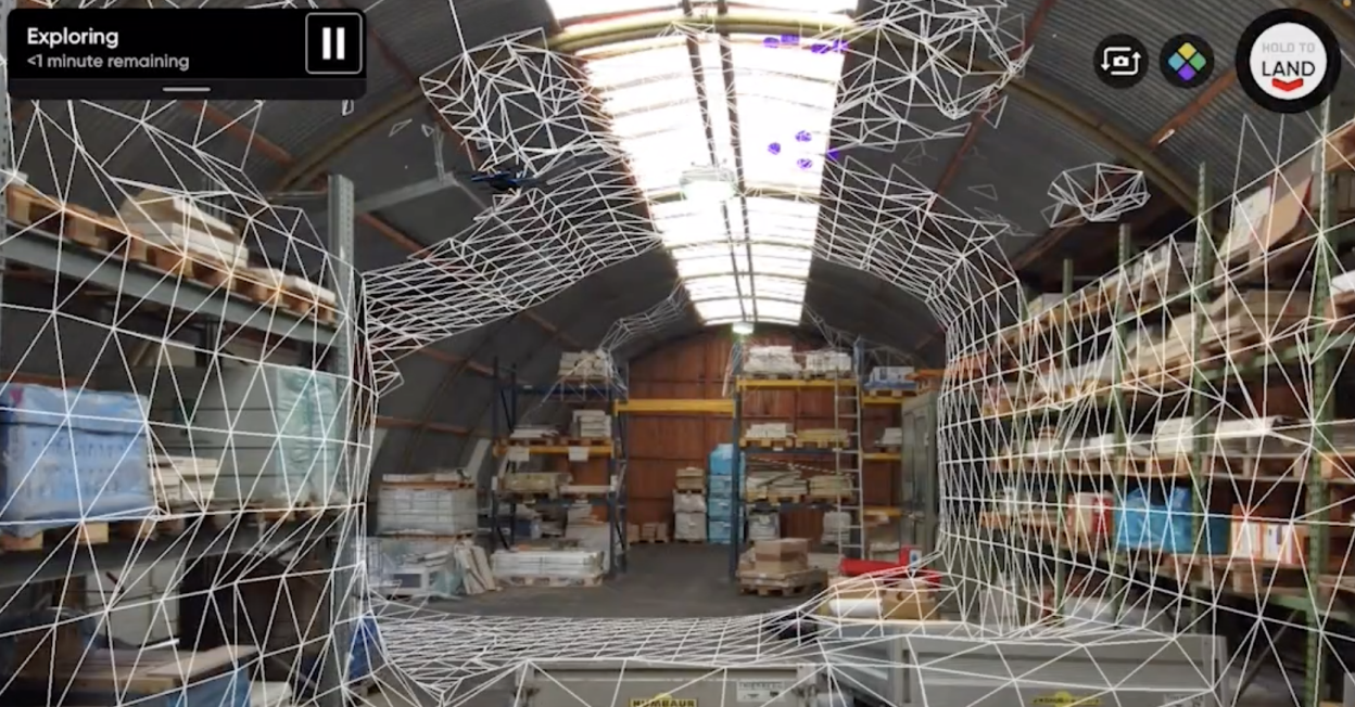
Indoor capture: Digitizing large indoor facilities just got easier
Breaking Regulatory Barriers: Scaling Remote Operations