Drones for Transportation Infrastructure

contact us

How Skydio Drones are Used in Transportation Infrastructure

Bridge Inspection

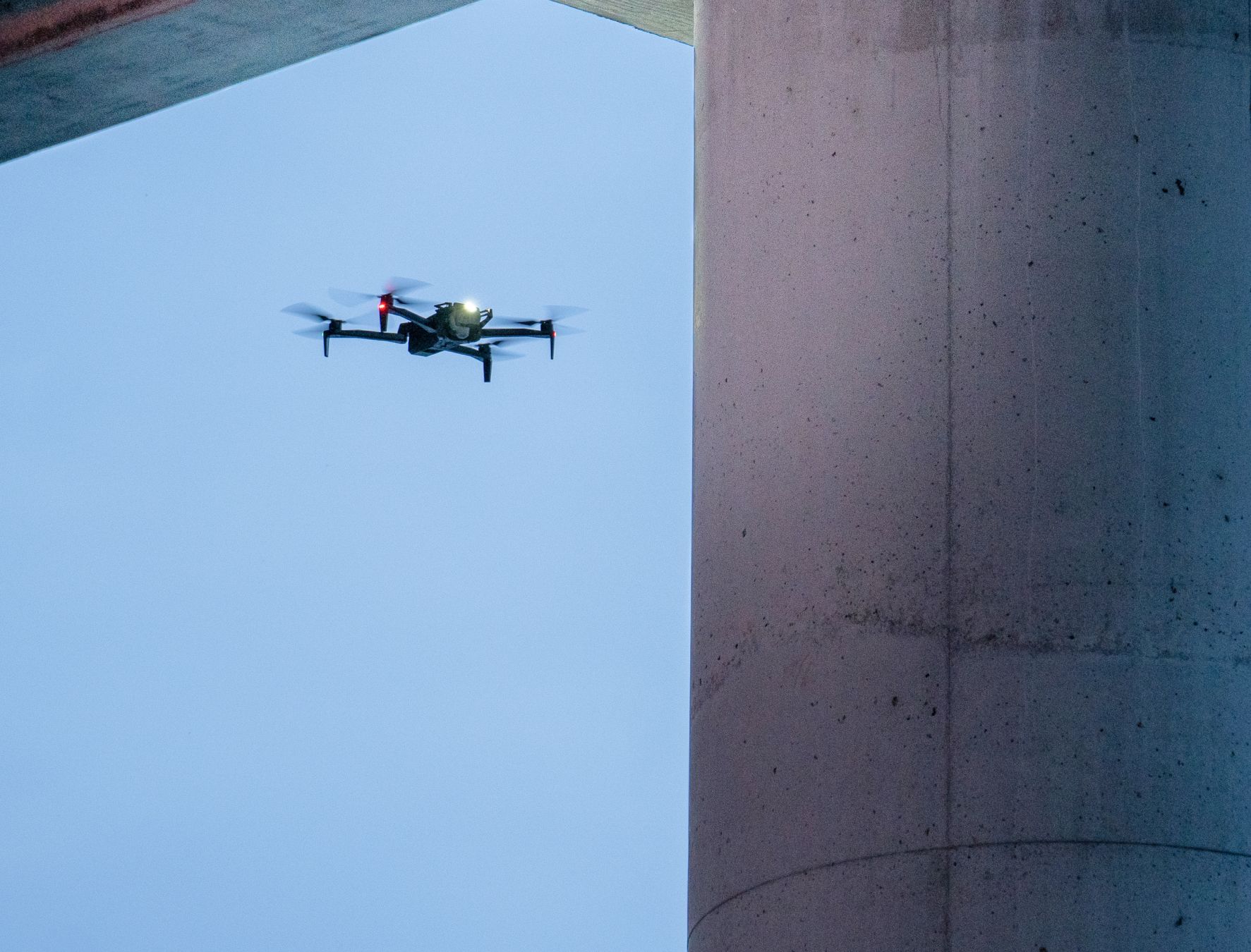
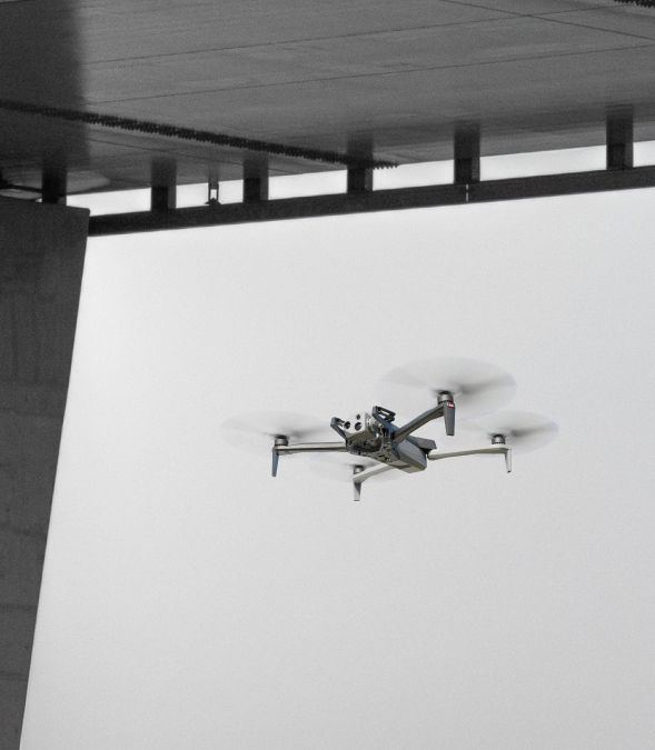
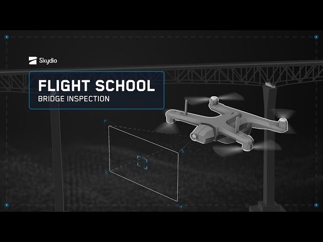
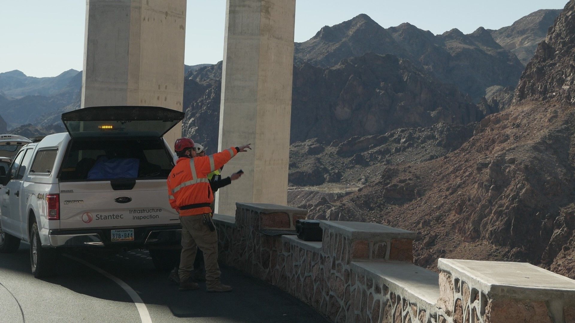
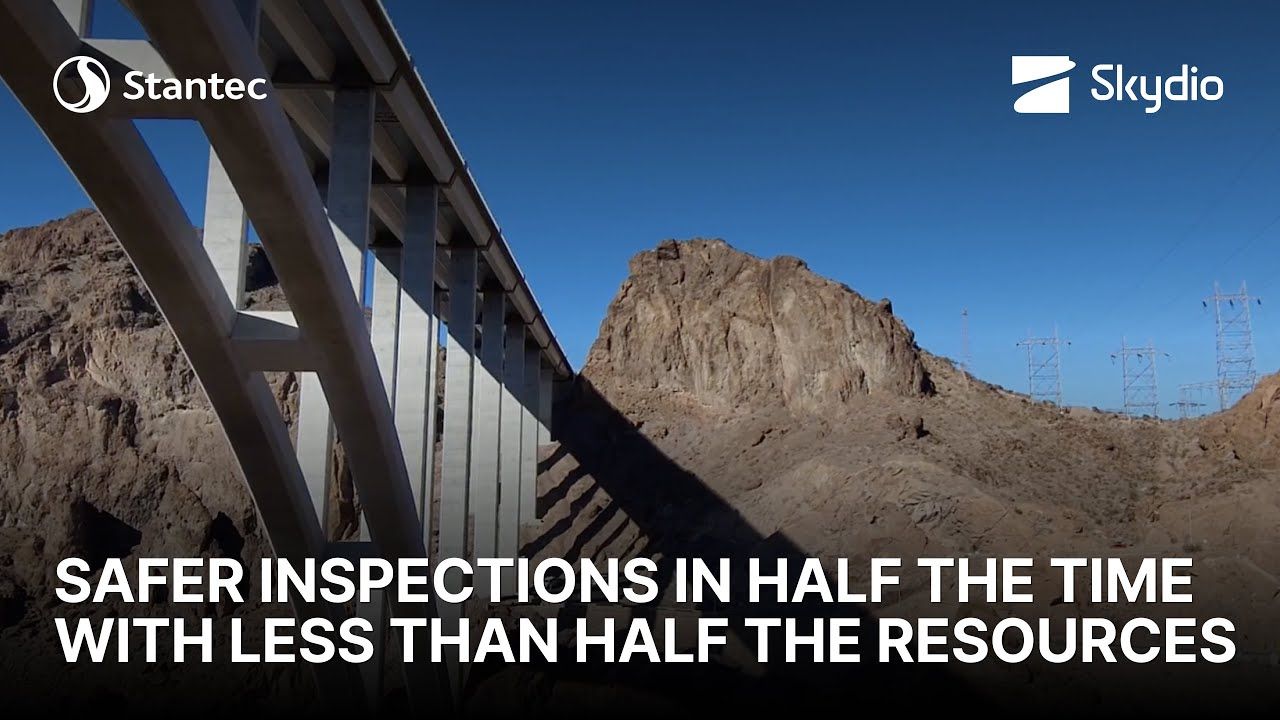
Fly up close to inspect and document critical components of bridge support and truss structures safely with 360° obstacle avoidance.

Bridge Inspection rust drone

Bridge Planning and Documentation

Capture detailed imagery and produce high resolution models of the bridge area with Skydio 3D Scan for archival purposes.

construction planning drone

Railroad Monitoring

Perform frequent track inspections and patrol the yard with Skydio drones to identify and document issues and keep the railroad network secure.

railroad monitoring

Post Disaster Evaluation

Provide documentation of damaged infrastructure during a natural disaster and see where roads are flooded to make a better determination where to route people and supplies.

debris in road skydio drone documenting
eBook construction drone cover

Inspection eBook Vol 3 - Transportation Management

Learn the benefits of using autonomous navigation and capture drones for infrastructure inspection, documentation, and tracking progress.

Current Transportation Infrastructure Inspection is Inefficient and Dangerous

Dangerous Human Inspections

Scaffolding climbs, scissor lifts, and other human-based inspection methods can be dangerous to workers, as well as time consuming.

bridge snooper truck inspection with people

Manual Drone Inspections

Manual drones are expensive and have untrustworthy obstacle avoidance and fail to work in GPS denied environments requiring many hours of pilot training to avoid crashes.

manual drone

Skydio Drones Improve Transportation Infrastructure Inspection

drone inspection bridge section skydio ohio

Inspect Efficiently and Without Interruption

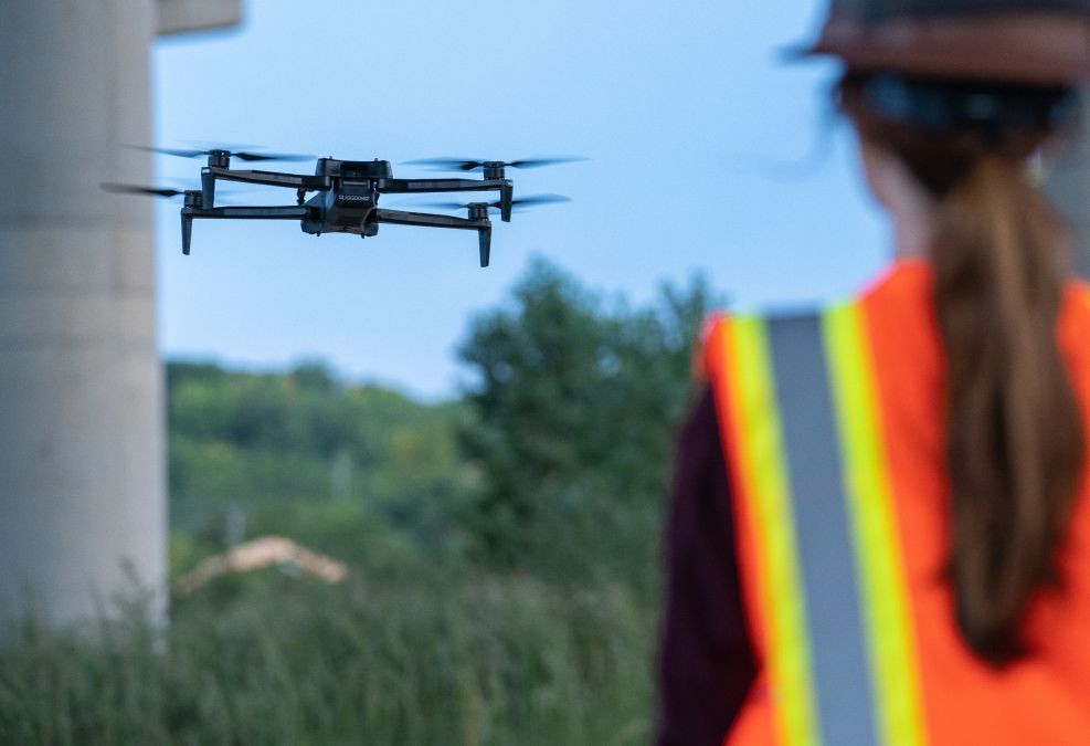
Enable individual pilots to do more inspections and monitoring in less time of critical bridge and railroad infrastructure.

  • AI-assisted navigation, thanks to Skydio Autonomy Enterprise, reduces the training burden and makes operations safer and more efficient, even in obstacle dense environments such as bridge truss structures.
  • Autonomous capture using Skydio 3D Scan enables you to automate infrastructure and bridge data capture and maintenance assessments with minimal preparation.
3D Scan Model for construction

Capture High Quality Site Data

Intelligent AI-powered autonomy allows inspectors to capture data at their precise specifications.

  • Close proximity obstacle avoidance allows the drone to fly safely and closely around concrete and support structures to get to the inspection target.
  • Adaptive capture using Skydio 3D Scan helps you capture comprehensive data with resolution as low as 0.65 mm/pixel.
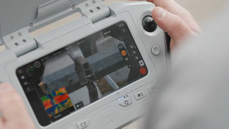
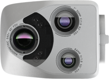
  • Dual capture available with Skydio X2 allows you capture images and videos with both color and thermal cameras.
skydio obstacle avoidance

Operate with Utmost Safety

Fly with confidence in the most difficult infrastructure environments thanks to Skydio Autonomy Enterprise.

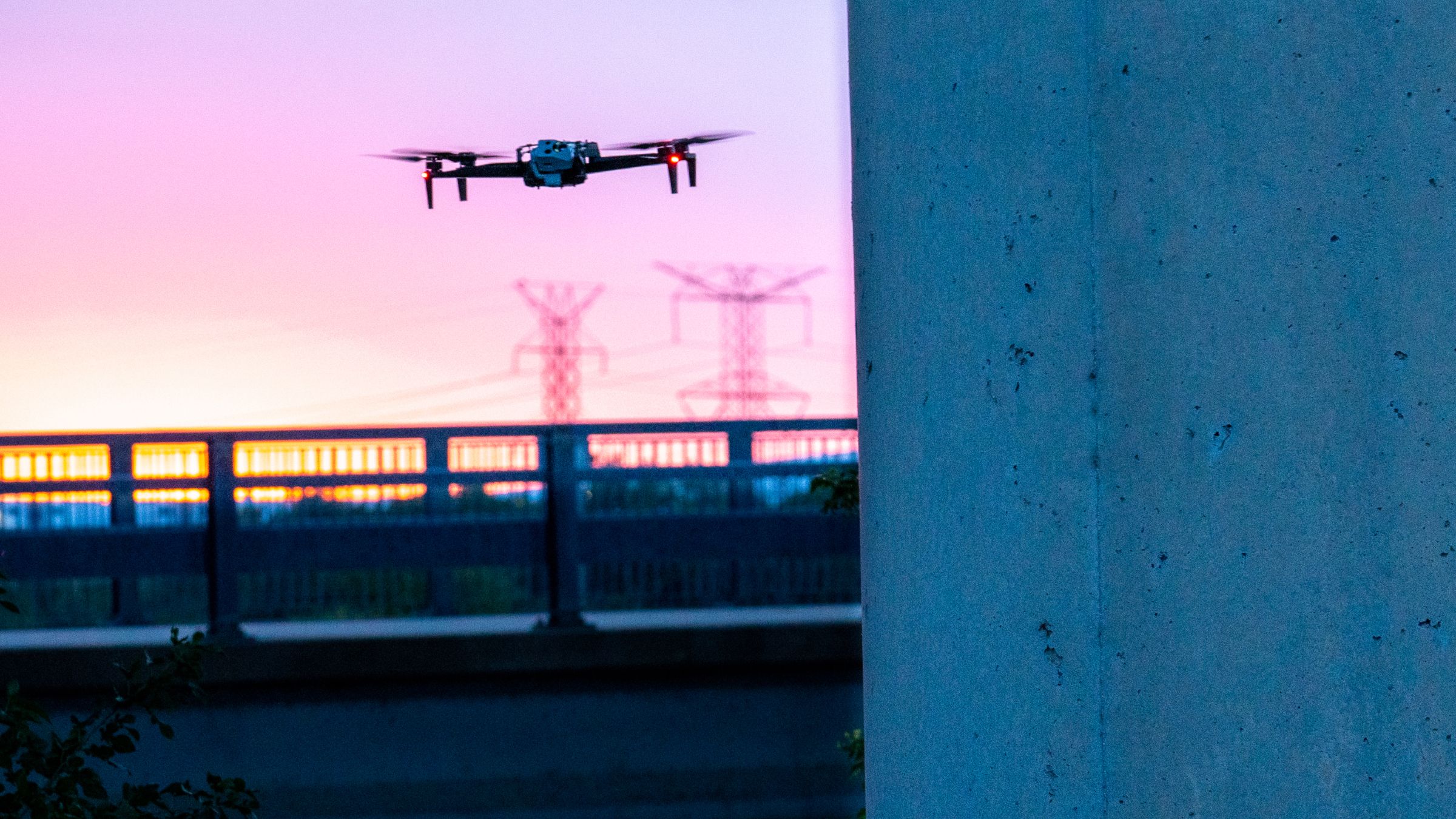
  • Computer vision navigation allows you to fly safely and reliably even near metal structures and under bridges. Skydio drones don’t rely on GPS connectivity or magnetometers for steady flight.
  • 360° collision avoidance helps you inspect around railroad and transportation infrastructure environments surrounded by metal, concrete, and water.

Breaking Regulatory Barriers for BVLOS Operations

Beyond visual line of sight (BVLOS) drone operations are critical to enable workers to inspect wider areas, larger structures, dangerous or difficult-to-reach environments while reducing visual observer and inspection costs. Skydio’s groundbreaking autonomy is the key to unlock safe and routine BVLOS.

NCDOT Conducts BVLOS Bridge Inspections With Skydio Drones

North Carolina Department of Transportation (NCDOT) received the first-of-its-kind, state-wide FAA BVLOS approval to inspect bridges using Skydio drones which grants inspectors unparalleled safety and efficiency.

Learn More
bridge bvlos faa

BNSF Railway Remotely Operating Dock-based Skydio Drones

Under the waiver, BNSF may remotely operate Skydio drones in docks beyond line of sight above rural portions of its network for purposes of infrastructure inspection, patrol, and training. 

Learn More
bvlos dock skydio drone faa

SKYDIO DOCK AND REMOTE OPS

Remotely operated.
AI powered.

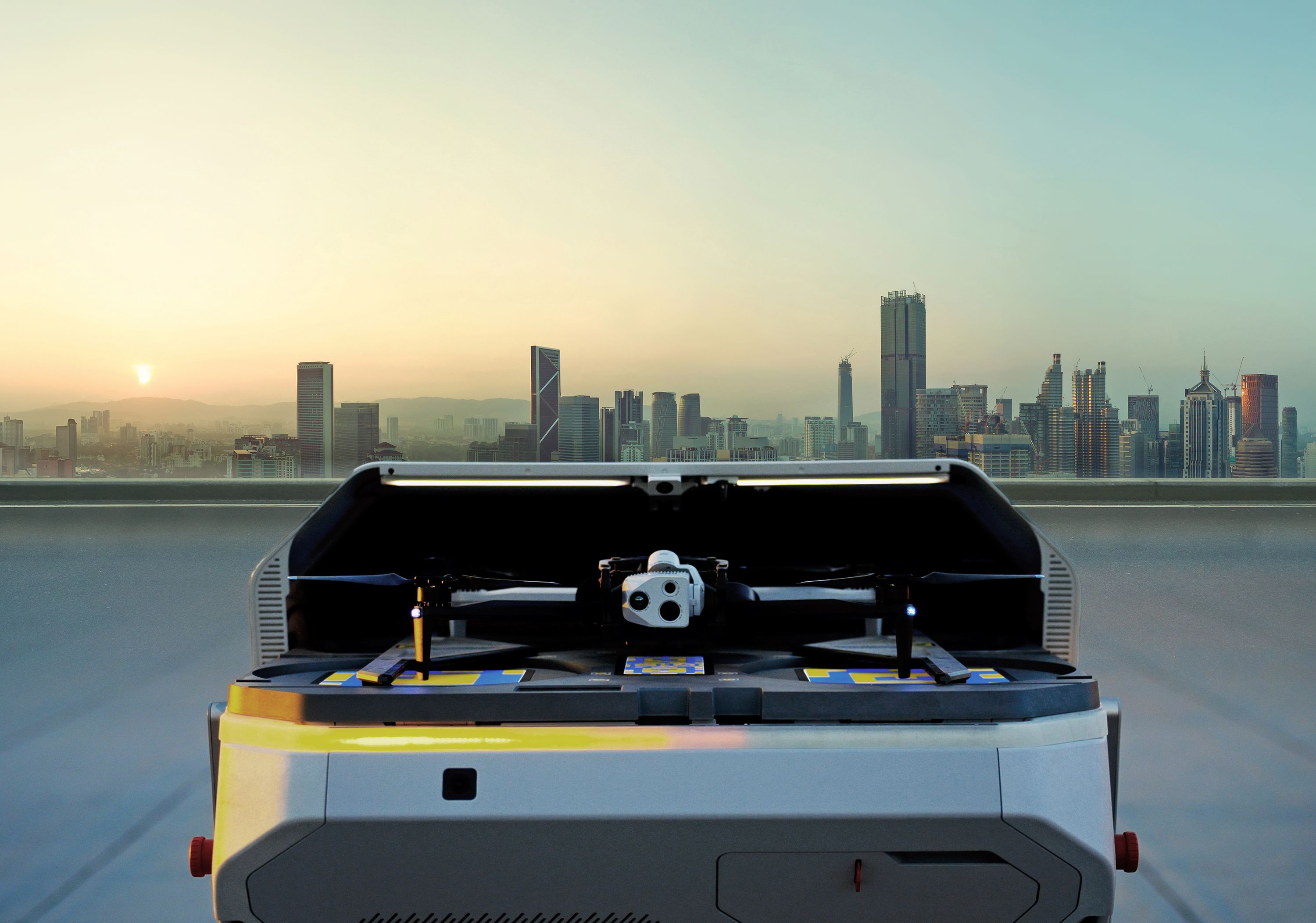
Continuously monitor and inspect remote sites and infrastructure without the need to have a pilot on-site.

Skydio Dock with remote operations - autonomous inspection
Skydio Bridge and Railroad Drone Products

Learn about Skydio Solutions for Bridge and Railroad Inspection

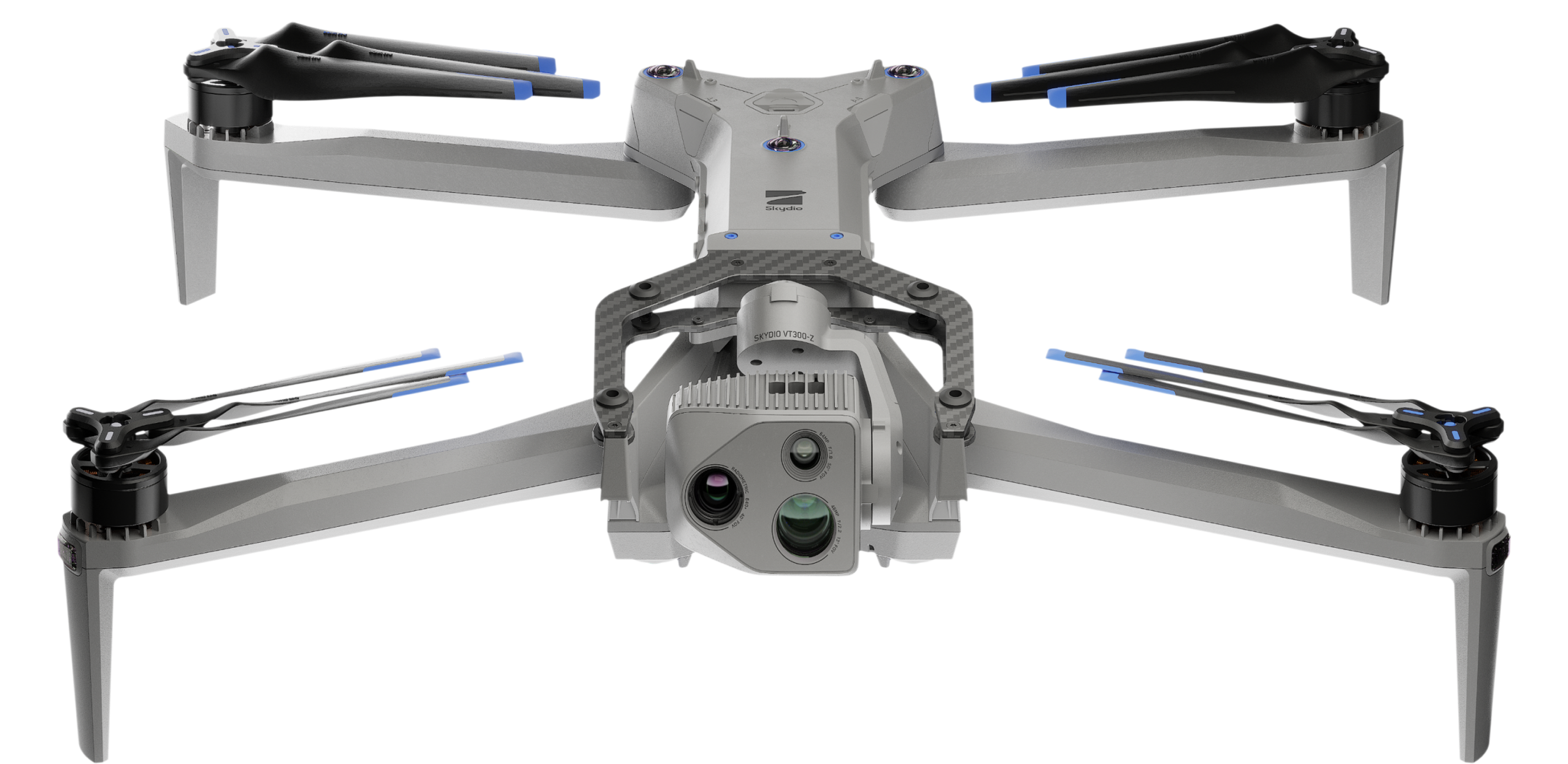
Skydio X2 Color/Thermal

Rugged, long-range drone built for inspection work

Learn More
Skydio x2 color thermal drone near bridge

Skydio 2+ for Enterprise

Our popular specialized autonomous drone

Learn More
Skydio 2+ near railroad bridge

Skydio 3D Scan

Autonomous data capture software for S2+ and X2

Learn More
3d model drone of brdige

Skydio Cloud

Connected flight operations for your Skydio fleet

Learn More
skydio cloud

3D Model for As-Built Assessment

This model was captured autonomously by Skydio 2 with 3D Scan to document this 75 foot bridge and dam, which was then processed in Bentley to generate the 3D model. The model required 568 photos at a 2.6 mm GSD and was captured in 62 minutes flight time.

Transportation Infrastructure
Customer Quotes

North Carolina Department of Transportation (NCDOT)

Safety is our top priority at NCDOT, and this new system helps improve the safety of not only our bridges and other infrastructure, but of our inspectors as well.”

Eric Boyette

Secretary of Transportation

BNSF Railway

We have been testing Skydio Cloud as part of the early access program and we are excited by the prospect of managing our vehicles, closely tracking our usage metrics and operating our distributed fleet”

Todd Graetz

Director, RPA/UAS

SEE THE LATEST FROM SKYDIO

Resources

Transportation Inspection Articles

Drone Autonomy For Bridge Inspection

View Article

2D GPS Capture: A new capture mode for Skydio 3D Scan

View Article

Skydio Cloud Unlocks Connected Flight Operations

View Article

X2 Color, 3D Scan & Cloud: An Integrated Solution for Commercial Drone Inspection

View Article

Product Datasheets

Skydio 3D Scan

View Datasheet

Skydio X2E Color/Thermal

View Datasheet

Skydio Cloud

View Datasheet

Skydio 2+ Enterprise

View Datasheet

Webinars

How to Build a Mission-Critical Drone Inspection Program - NCDOT

View Webinar

AI Meets Inspection: How Autonomous Drones are Changing the Game in Enterprise

View Webinar

What’s New with Skydio: Introducing Skydio 2+

View Webinar

From manual drones to Skydio: An industry veteran on best practices for the Age of Autonomy

View Webinart
Skydio X2 and 2 Drones

Ready to put
Skydio to work?

Contact Us