This model was captured autonomously by Skydio 3D Scan. 3D Scan is a first-of-its-kind adaptive scanning software built on top of Skydio Autonomy. It allows the drone to automate data capture for generating 3D models with comprehensive coverage and ultra-high resolution, so that crews can perform higher quality scans in less time and with minimal pilot training.
Learn More About 3D Scan3D Model
Sacramento City Incinerator
This 3D model is of the top of an incinerator chimney, which would be a dangerous and daunting challenge to inspect. At minimum, it would require downtime for the equipment to avoid exposing a human inspector to dangerous byproducts of the incineration process, while requiring the inspector to climb to a high altitude on a structure that was not designed for human occupancy. Drones can help inspect structures like this one, but today’s manual drones are incapable of flying close enough to capture precise imagery of all angles because they cannot reliably stop themselves from crashing into the asset.
Not so with 3D Scan.
With this software, a Skydio drone can autonomously navigate the scene and generate a dataset of overlapping photos that can be spatially indexed for on-the-spot viewing in the Skydio app, or exported to a photogrammetry engine and turned into a 3D model.
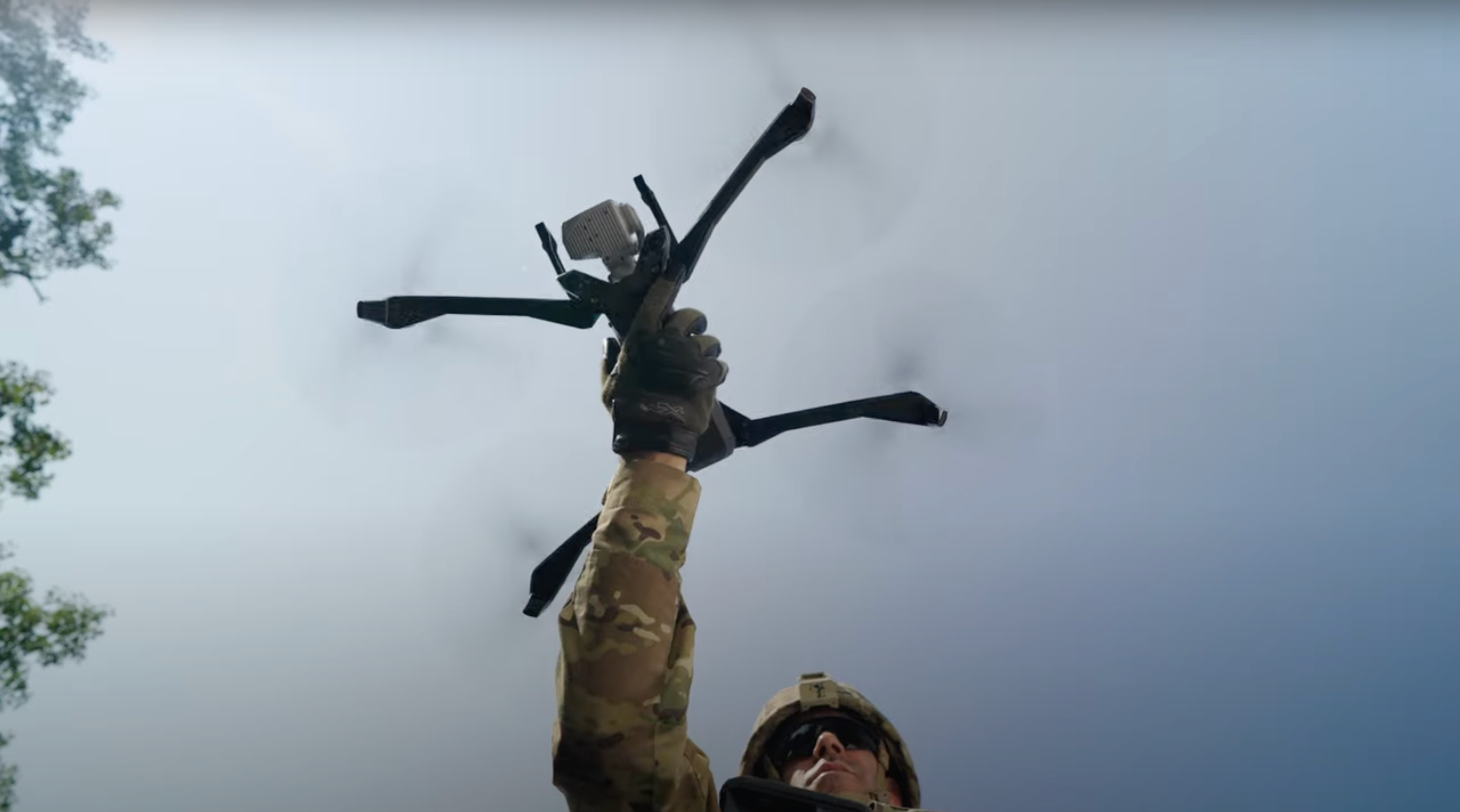
This model’s photos were taken with 3D Scan on a Skydio X2E Color, and the reconstruction was performed using RealityCapture.


