Background
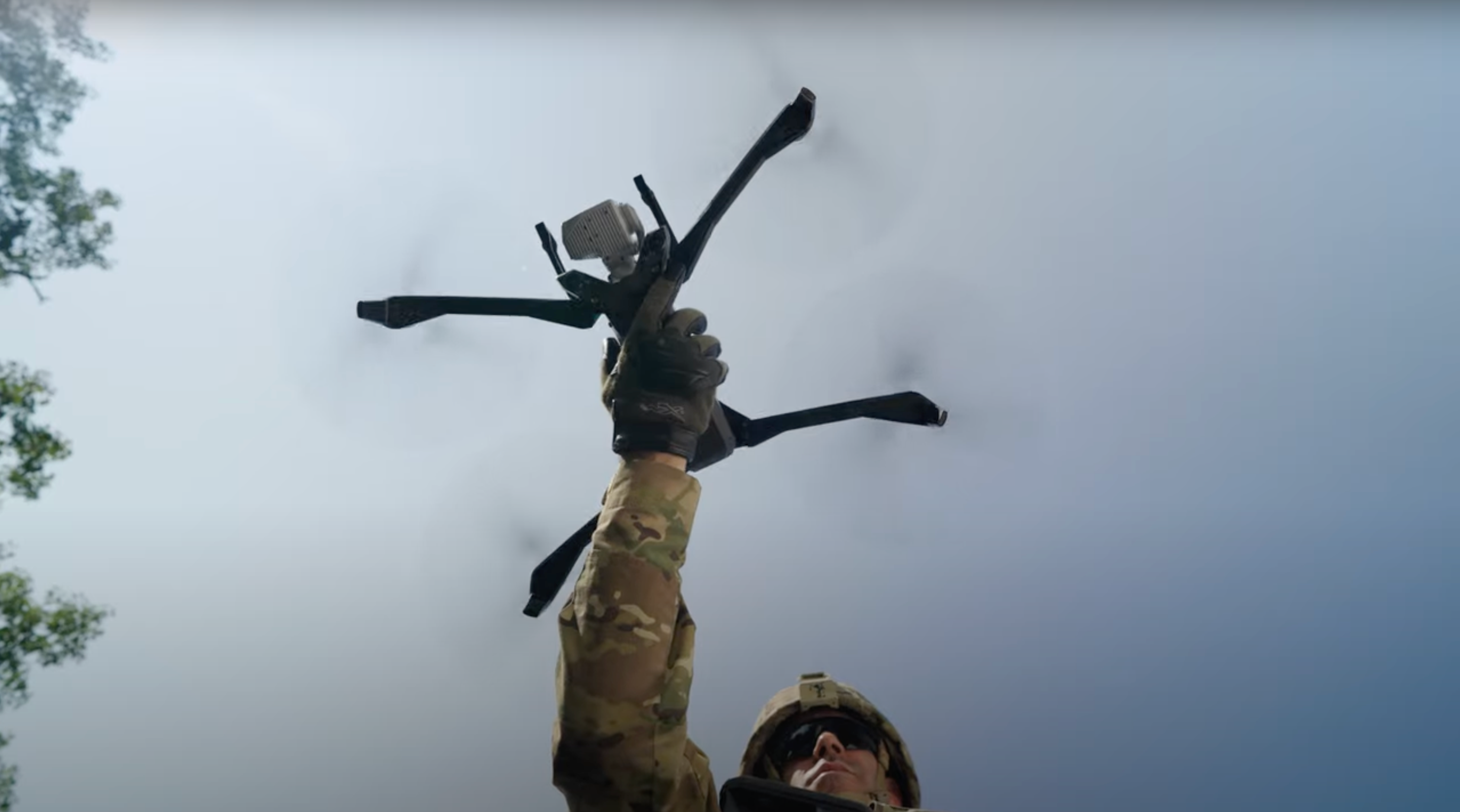
Caltrans manages more than 50,000 miles of California's highway and freeway lanes, provides inter-city rail services, permits more than 400 public-use airports and special-use hospital heliports. Their number one objective is the safety of the traveling public in California. To assist them in managing their roads, rails, and ports, CalTrans has acquired a number of Skydio X10 smart drones. Recently, this decision paid major dividends at the site of a large landslide in the immediate aftermath of a near-record setting rain storm.
Challenge
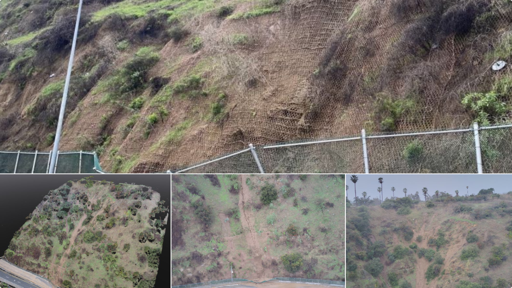
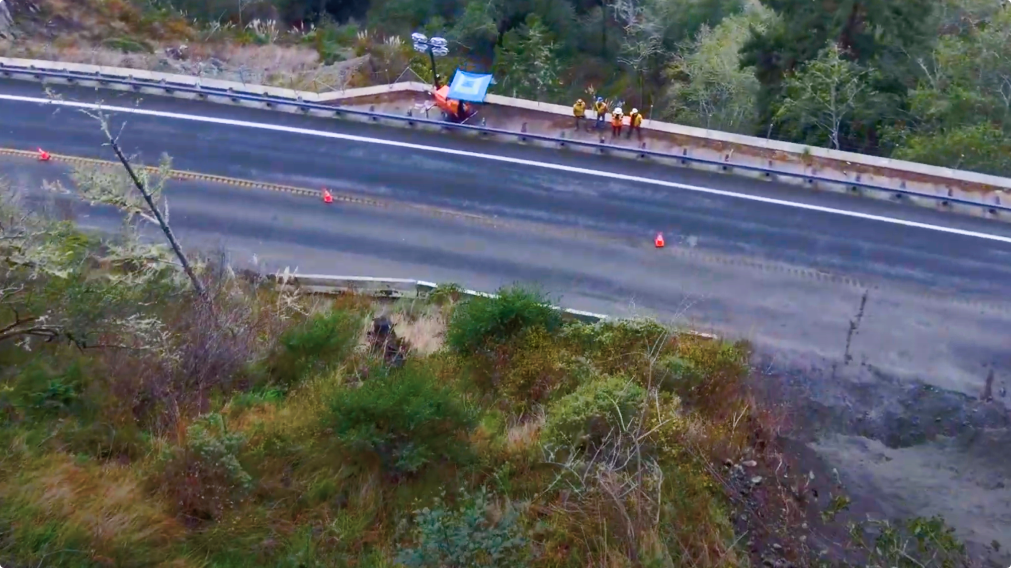
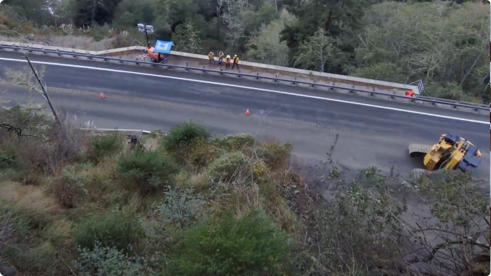
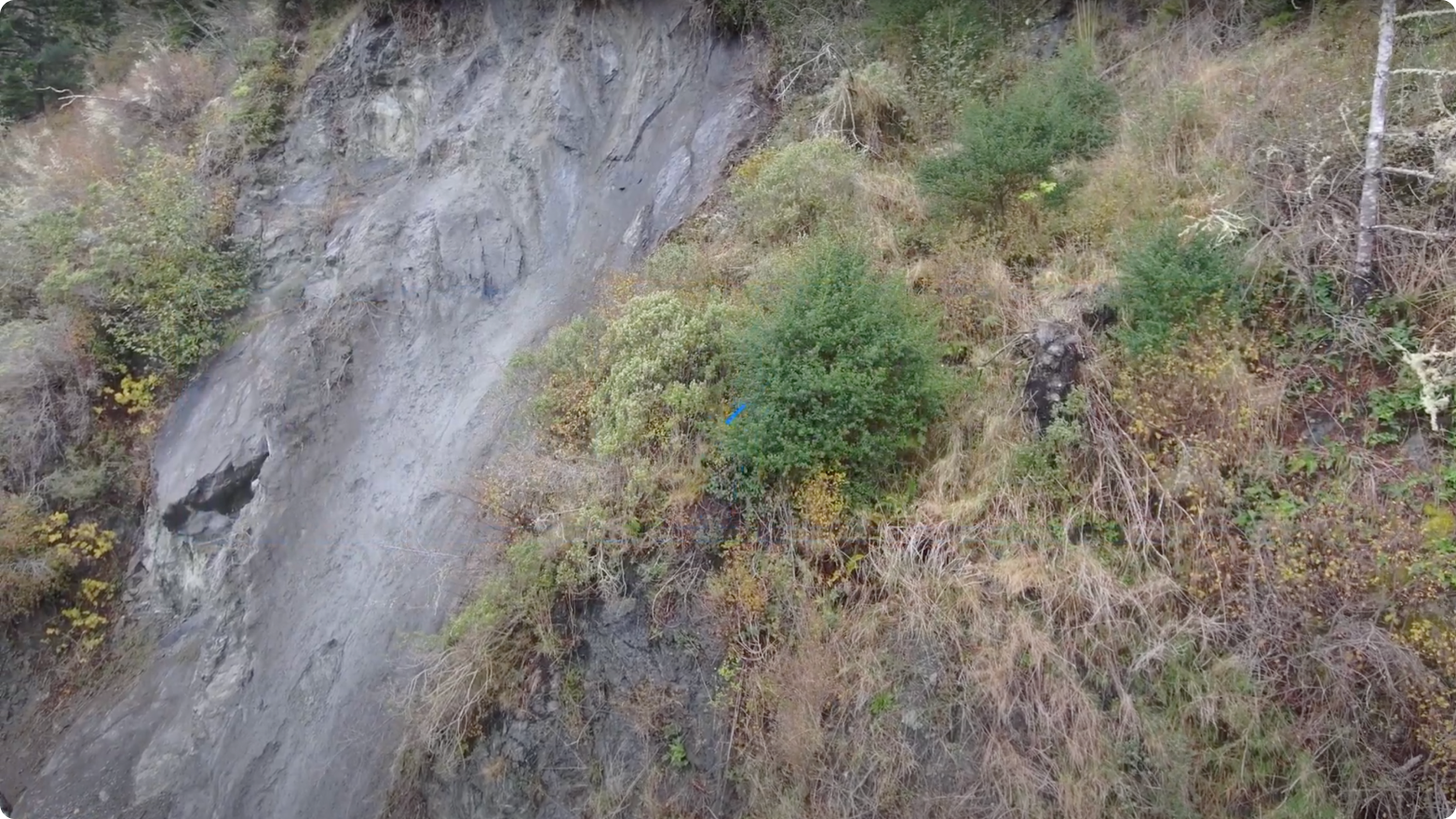
A landslide occurred in Eureka, CA, and the area needed to be inspected to see if it was safe for clearing and remediation work to proceed.
Skydio Solution
A Caltrans inspector sitting in his home 450 miles from the slide was able to remotely deploy and pilot an X10 to get in close, right above the slide damage to see if more scarring was present (which can indicate another slide is imminent).
Results
The inspection was used to determine where and when clean-up could start; keeping workers out of the danger zone.