Integration Summary
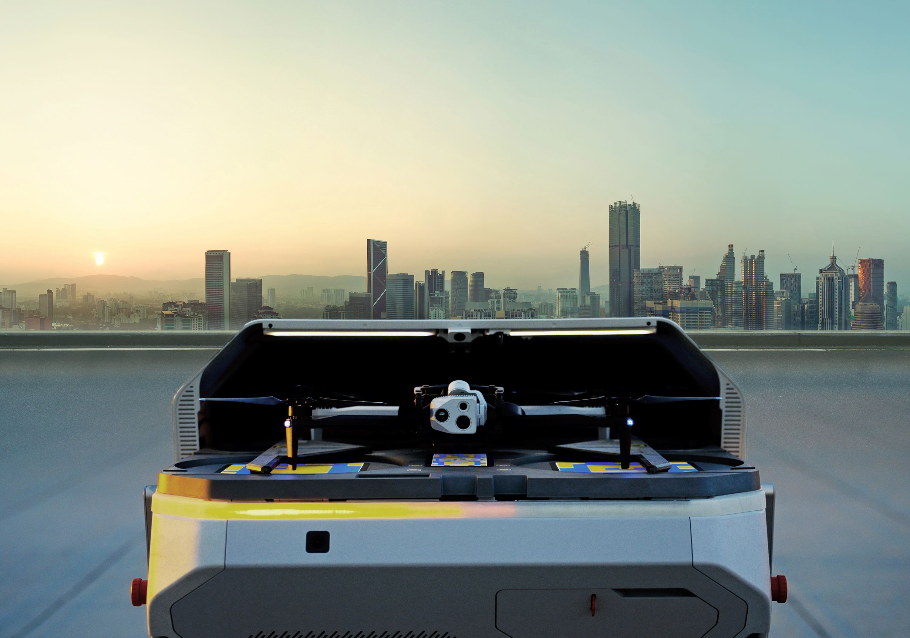
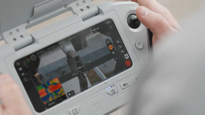
Enforsys Polisys CAD integrates with Skydio’s DFR Command platform to give drone operators real-time CAD data. This live location information and Call for Service (CFS) details allow operators to make faster, more informed decisions about when and where to deploy drones.
Faster response times – Real-time location data and call context help DFR operators deploy drones to the exact location of an incident, improving the speed and accuracy of the response.
Improved situational awareness – Operators gain early visibility into evolving incidents, enabling safer responses and improved coordination with on-the-ground units.


