Integration Details
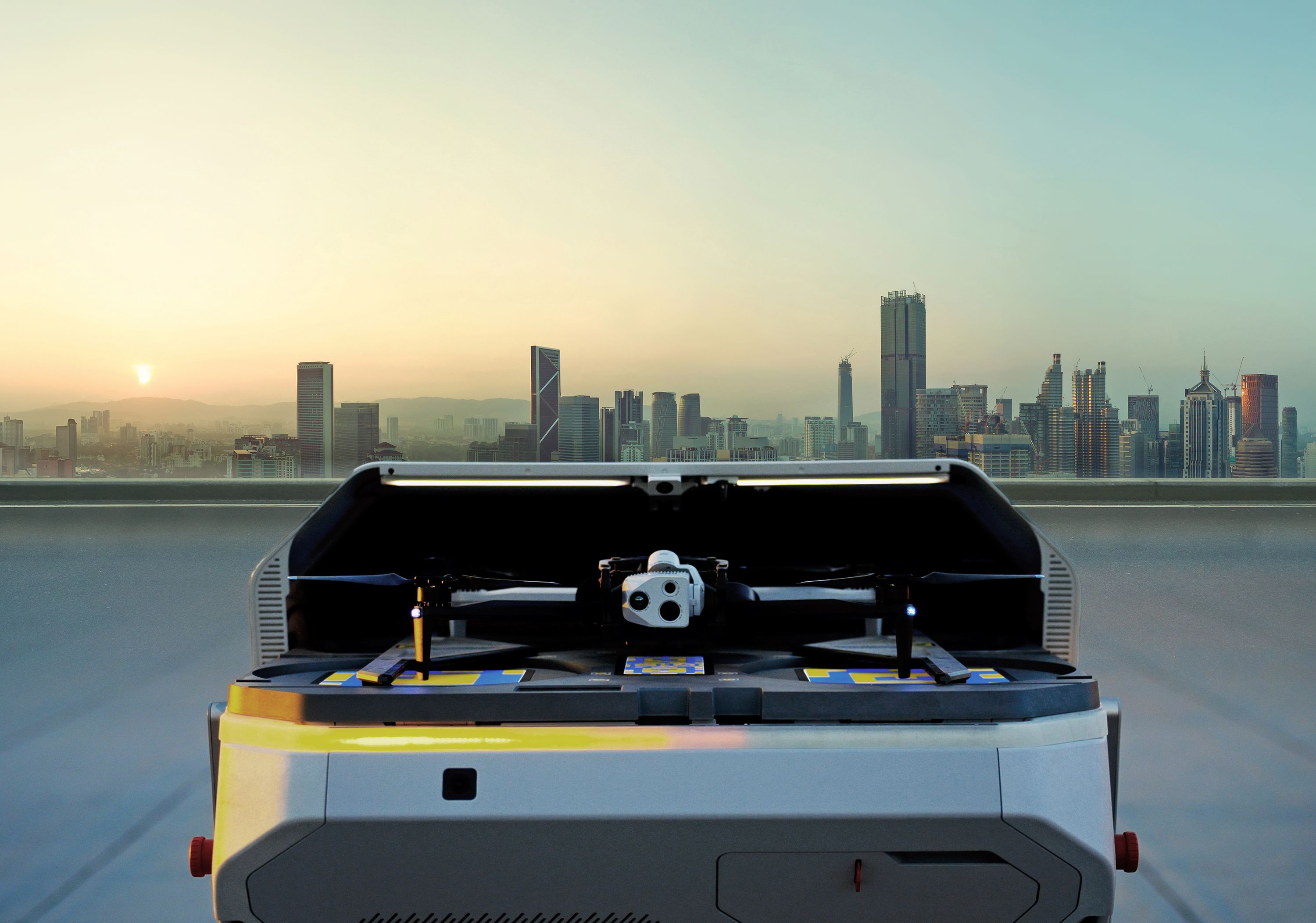
Through a direct integration between Skydio cloud and Optelos, customers can fully automate their inspections process from drone mission launch through data capture and analysis to repair or mitigation dispatch based on exact geolocation.
Integration Benefits
Simplified data capture: Launch Skydio drone with predefined flight path and seamlessly process the captured data through Optelos, completely automating the data capture process
Streamline end to end asset inspection: Time from Skydio data capture to results, outcomes, insights and defect resolution is significantly reduced, improving MTTR, asset uptime/performance and overall cost.
Single pane of glass collaboration speeds decision making: Optelos geolocates and contextualizes all pertinent data sources including Skydio captured images, asset models, and all associate data sources, facilitating cross functional collaboration and rapid decision making
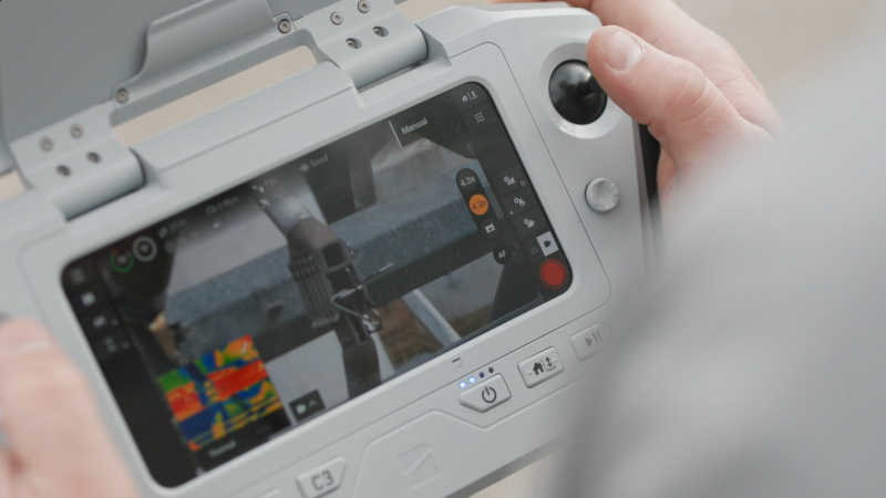
Fully integrated AI automates image analysis: Optelos rapidly develops and deploys AI models within the platform, allowing Skydio captured data to be automatically processed for rapid condition identification. allowing massive amounts of data to be rapidly processed reducing analysis time, labor and cost
GIS Mapping for specific condition geolocation: Optelos integrates directly with your GIS system allowing assets to be mapped and Skydio collected data to be automatically mapped to that specific asset geolocation streamlining the end-to-end capture to resolution workflow.
Support for Utility, Telecom, Energy and other Infrastructure applications: Optelos has develop workflows, dashboards, AI and custom analysis functions allowing customers to leverage their Skydio drones to drive rapid decision making and improved outcomes across these industries


