
Utilities: Power Generation Inspection Drones
Keep your plant in peak performance with aerial inspections
See how a drone program can dramatically improve your safety and long-term maintenance objectives
Spot issues faster with more frequent inspections and maintain reliable asset performance
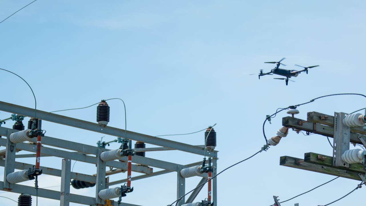
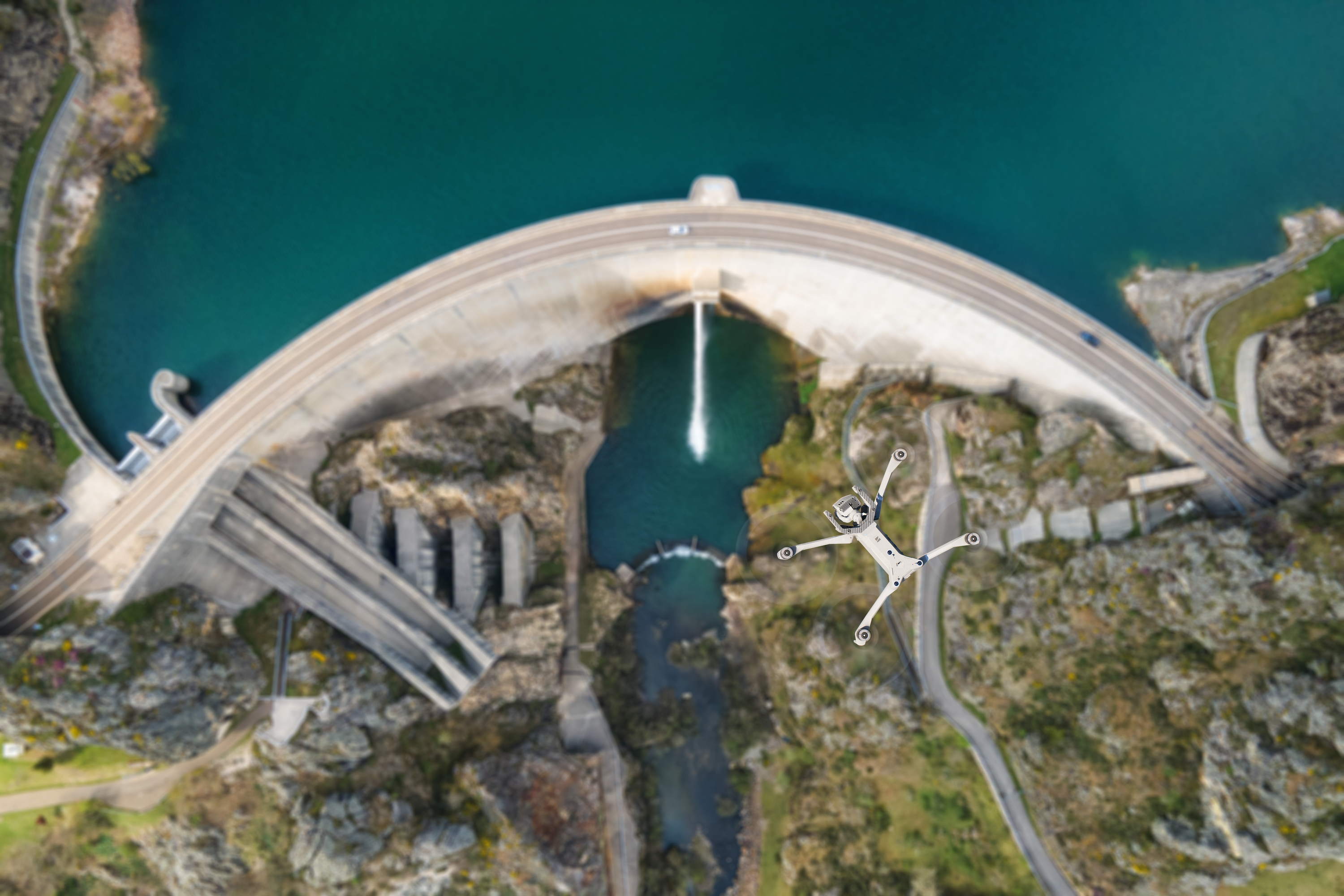
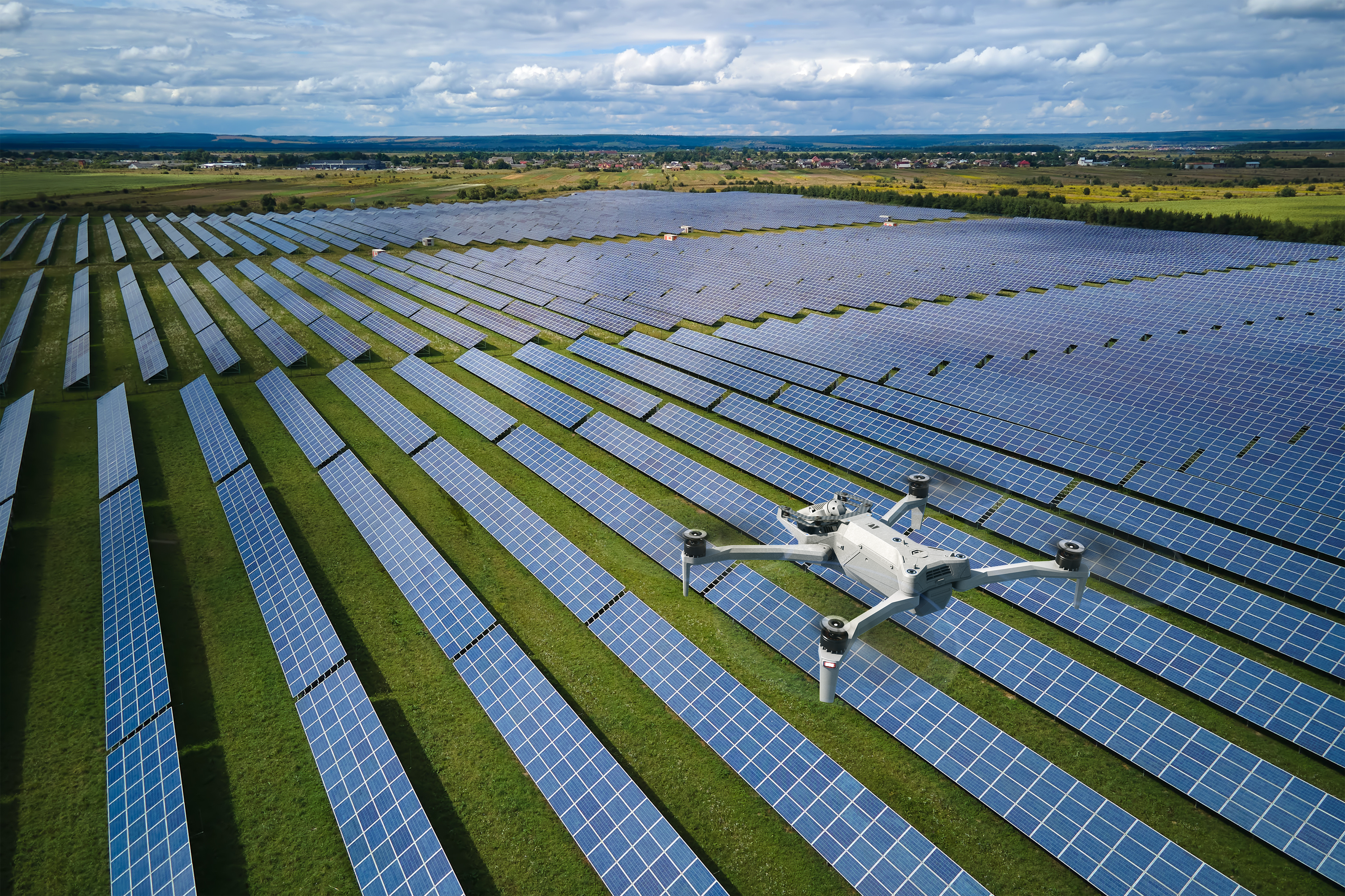
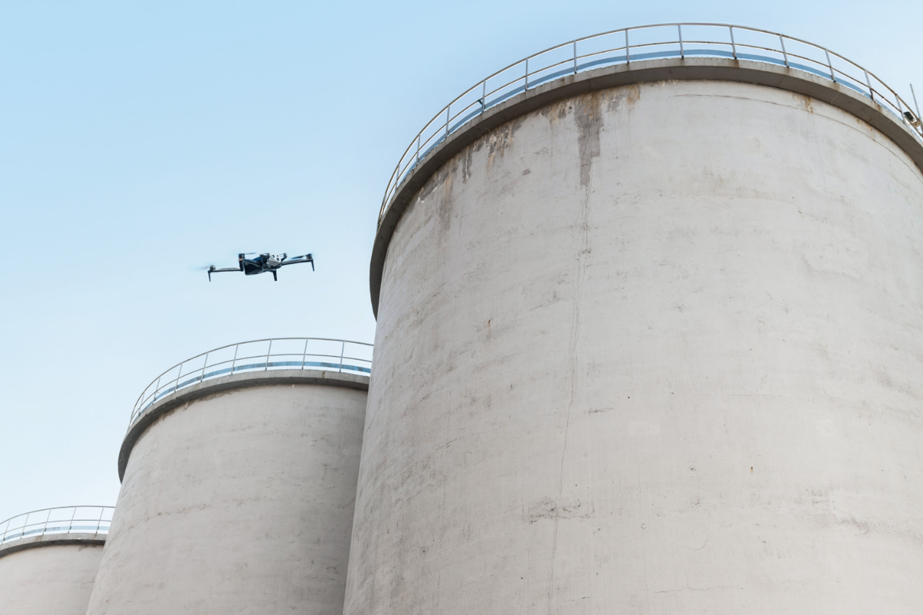
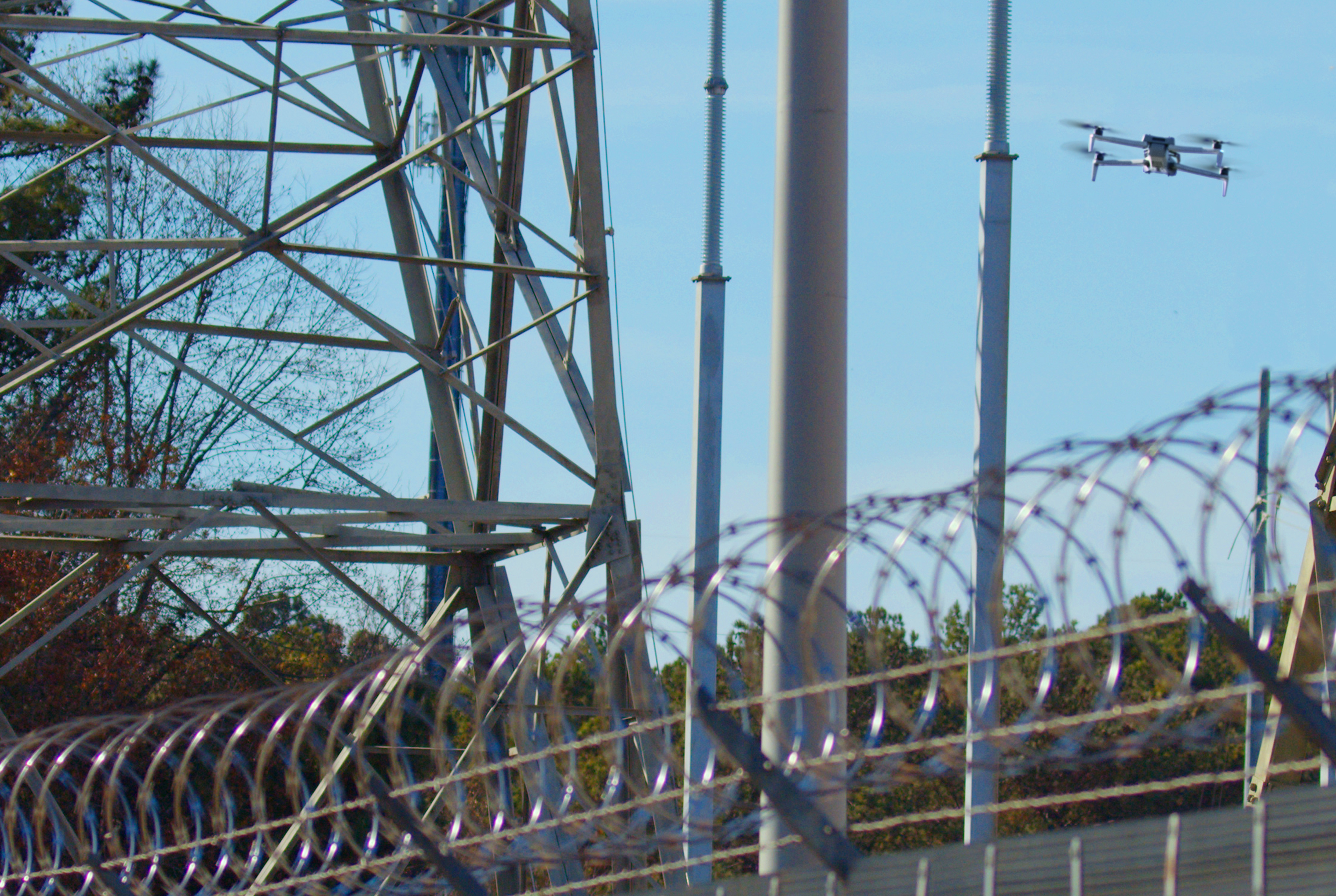
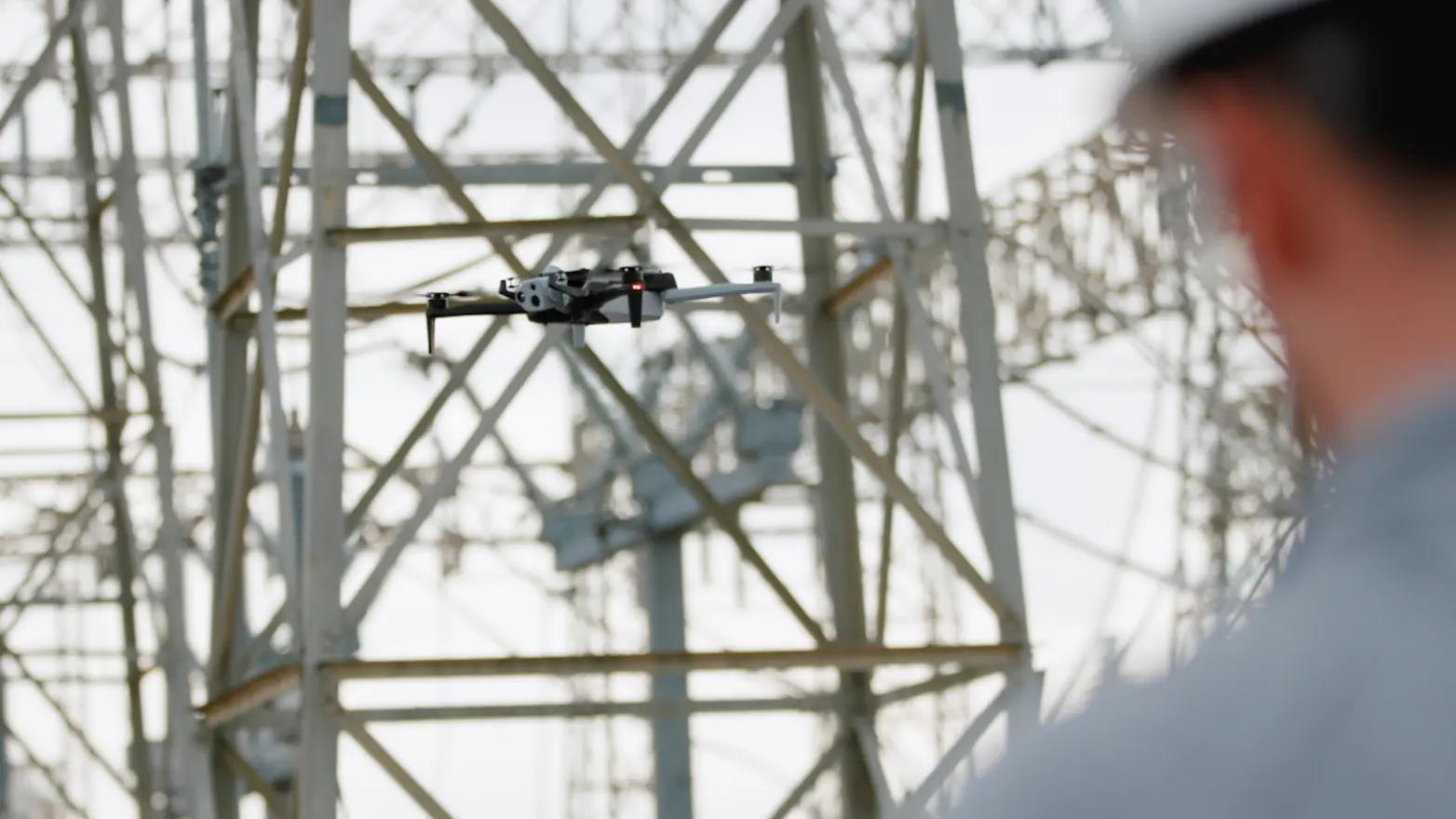
Monitor hydro, solar, fossil, and nuclear generation facilities and equipment without bucket lifts, ropes, scaffolding, or dangerous walk-abouts. Use Skydio to safely survey critical infrastructure anywhere.
You can navigate in highly energized, obstacle rich environments, so you can access every gauge, switch, joint, and perimeter easily. Our ground-breaking AI-driven autonomous technology enables you to generate fully comprehensive inspection datasets while keeping inspectors on the ground, or in the office out of harm’s way.

The top 4 U.S. utilities companies and 280+ others trust Skydio
Scan solar farms for thermal hotspots
Inspect boilers and smokestacks

Patrol dry cask nuclear storage
Check gauges on pressurized systems

Monitor refuse ponds

Keep your perimeter secure
No other drone utility inspection solution performs like Skydio
See your equipment up close
Read gauges, inspect boilers and smokestacks, scan dams and solar panels, and monitor waste facilities without putting your employees at risk. Get new perspectives that traditional inspection methods just don’t capture. Skydio flies within arms-length of your hardest to reach equipment with sub-millimeter precision, bringing you better data to make better decisions.

Get an aerial perspective without a heavy training burden
Proficient in minutes and expert in just hours, your inspectors can get the views they need with far less risk. Skydio inspection drones capture the data for them. Our advanced AI-driven autonomous technology enables operators to avoid obstacles automatically. So anyone, no matter their skill level, can fly confidently in complex environments and you can quickly scale your drone power plant inspection program.
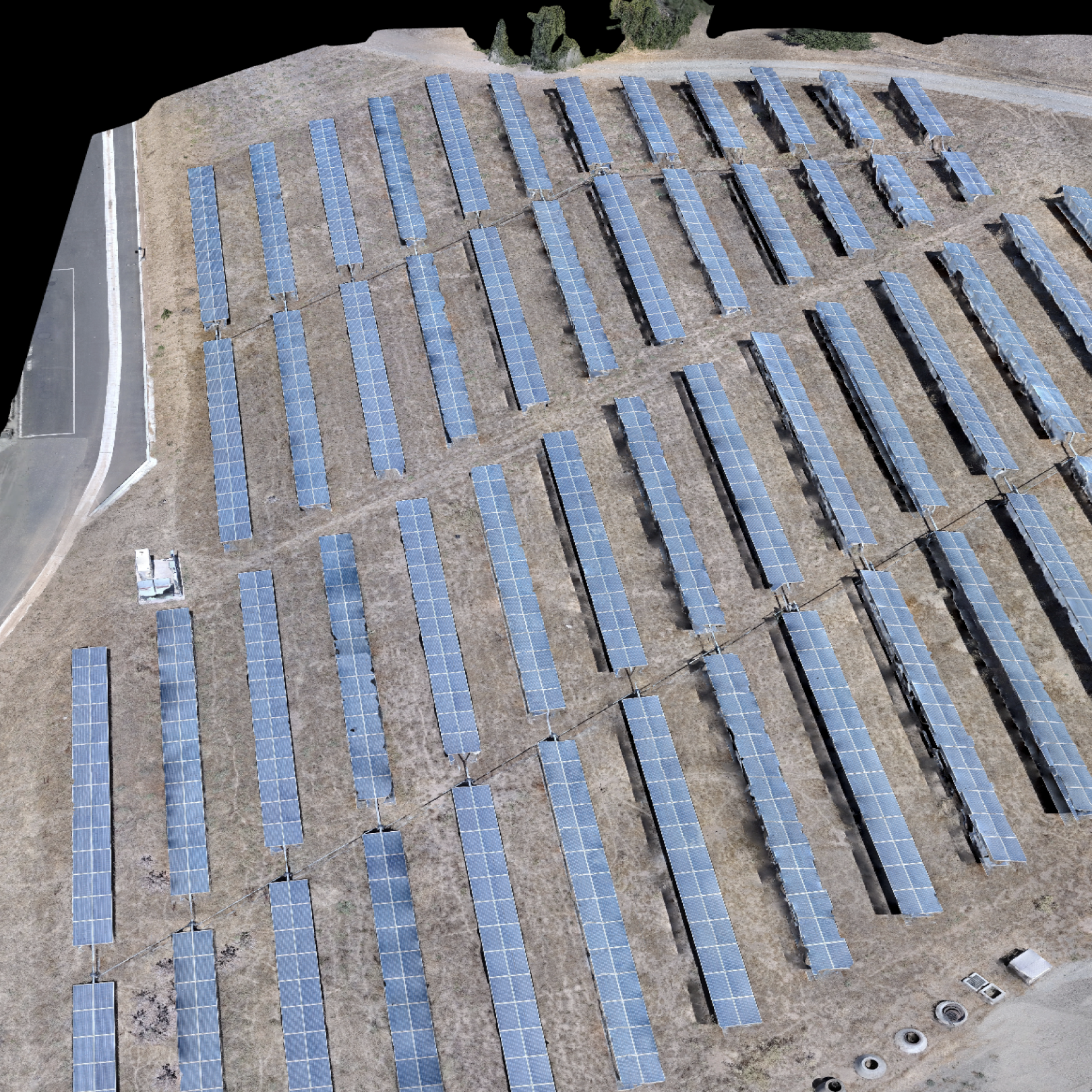
Collect high-quality imagery to generate 2D maps and 3D models
Get the data you need to generate models that inform better maintenance decisions. Minimal pre-planning and operator oversight required. Your inspector can view drone inspection imagery while on-site and verify they have the complete data set needed to enable high-quality modeling with your choice of programs including ERSI, gNext, DroneDeploy, Bentley, Pix4D.
Three more reasons plant managers love Skydio.
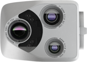
Thermal Equipped
Identify heat and temperature differences to recognize anomalies on critical power generation infrastructure.

Trusted Source
Protect the security of critical infrastructure with a solution designed, assembled, and supported in the USA.

Regulatory Guidance
Engage our team of experts to help you through the Beyond Visual Line of Sight (BVLOS) waiver process.

Top utilities trust Skydio to monitor critical infrastructure


Get better data on asset condition with the Skydio Power Generation Asset Inspection Solution


Services

Skydio Academy
Let us show you how to have an aerial view every time you need it
Resources
Learn more about drones for utility inspection.

2,090 Miles Away. Real Assets. Real-Time Inspection. (Live from DTECH)
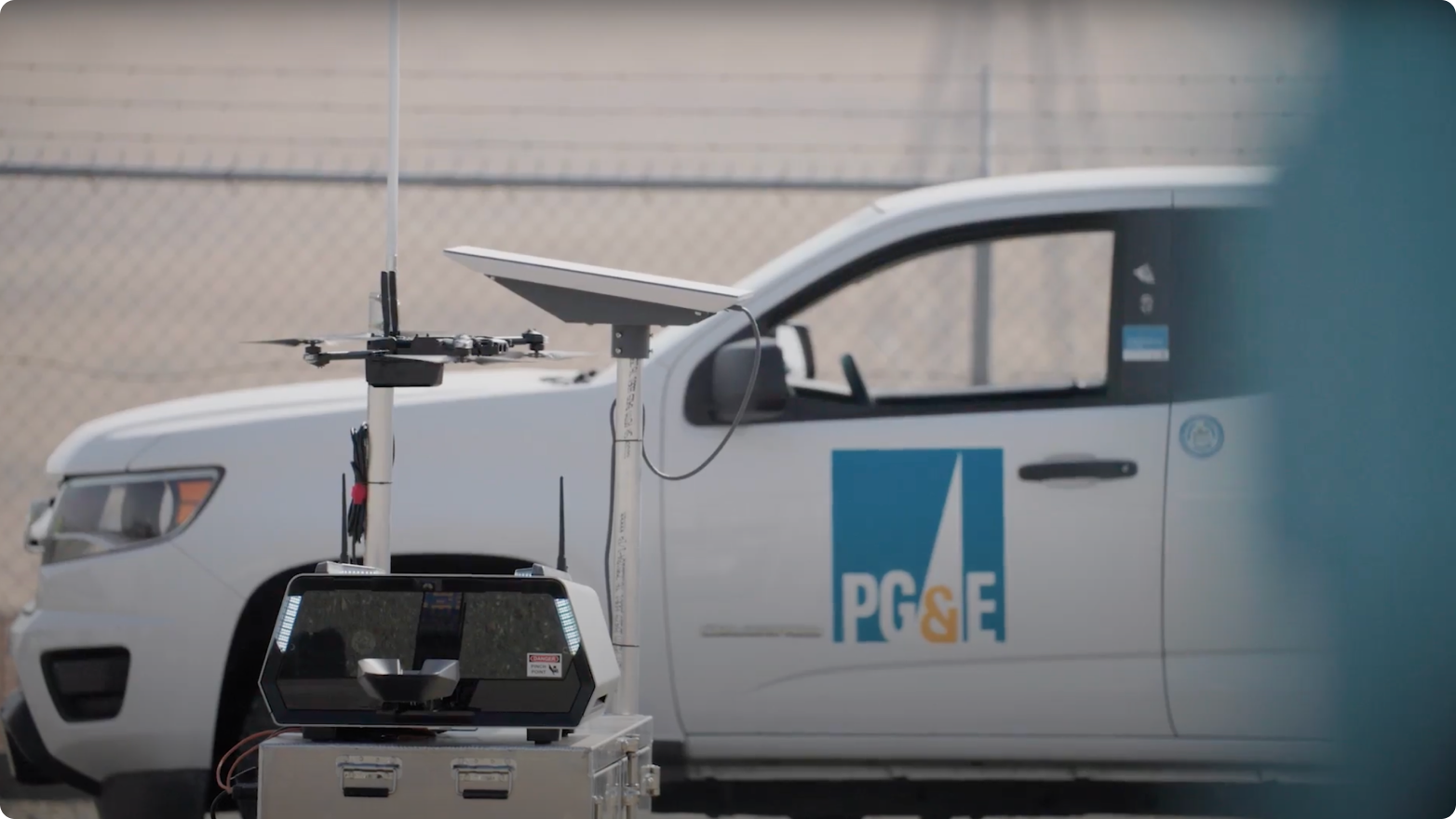
See how Pacific Gas & Electric (PG&E) conducts inspection remotely.
AEP deploys autonomous drones to optimize outage response

ComEd expands drone program with Skydio X10