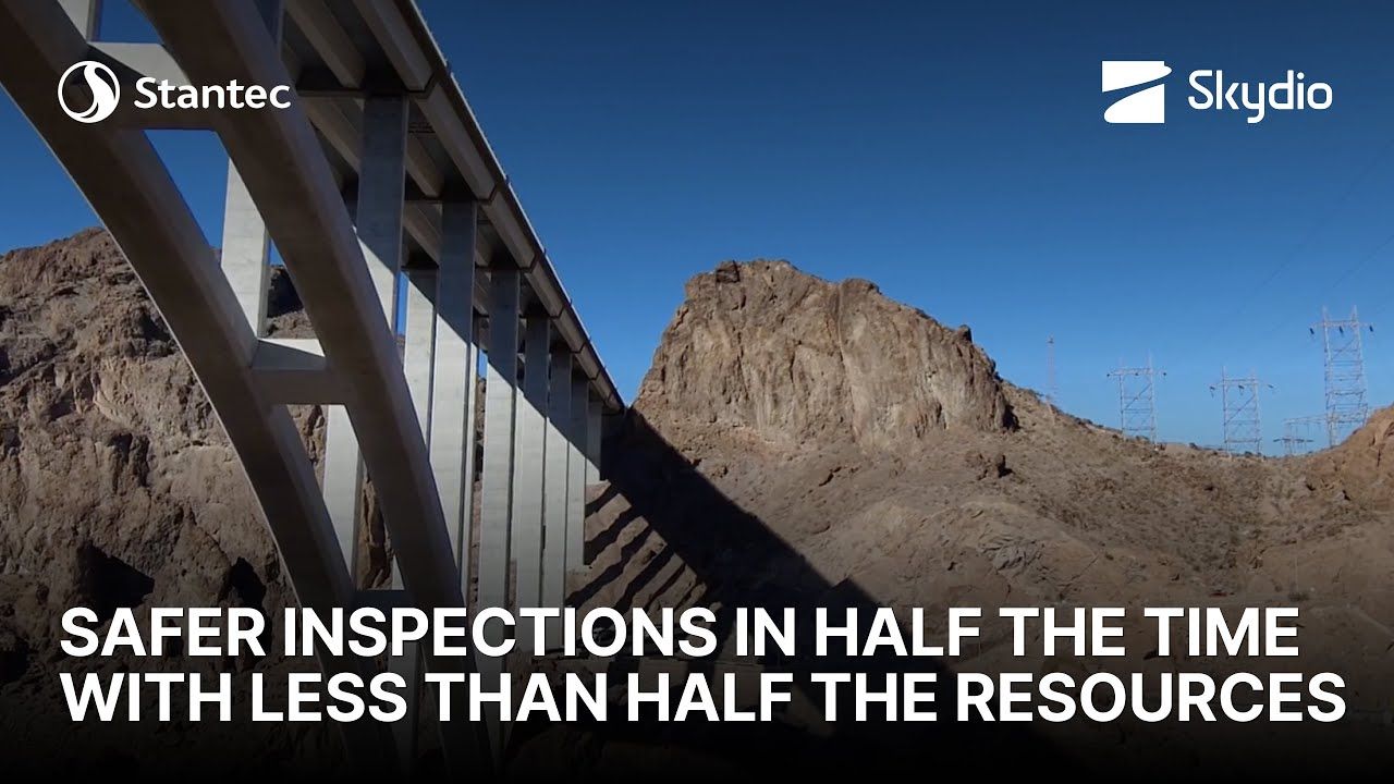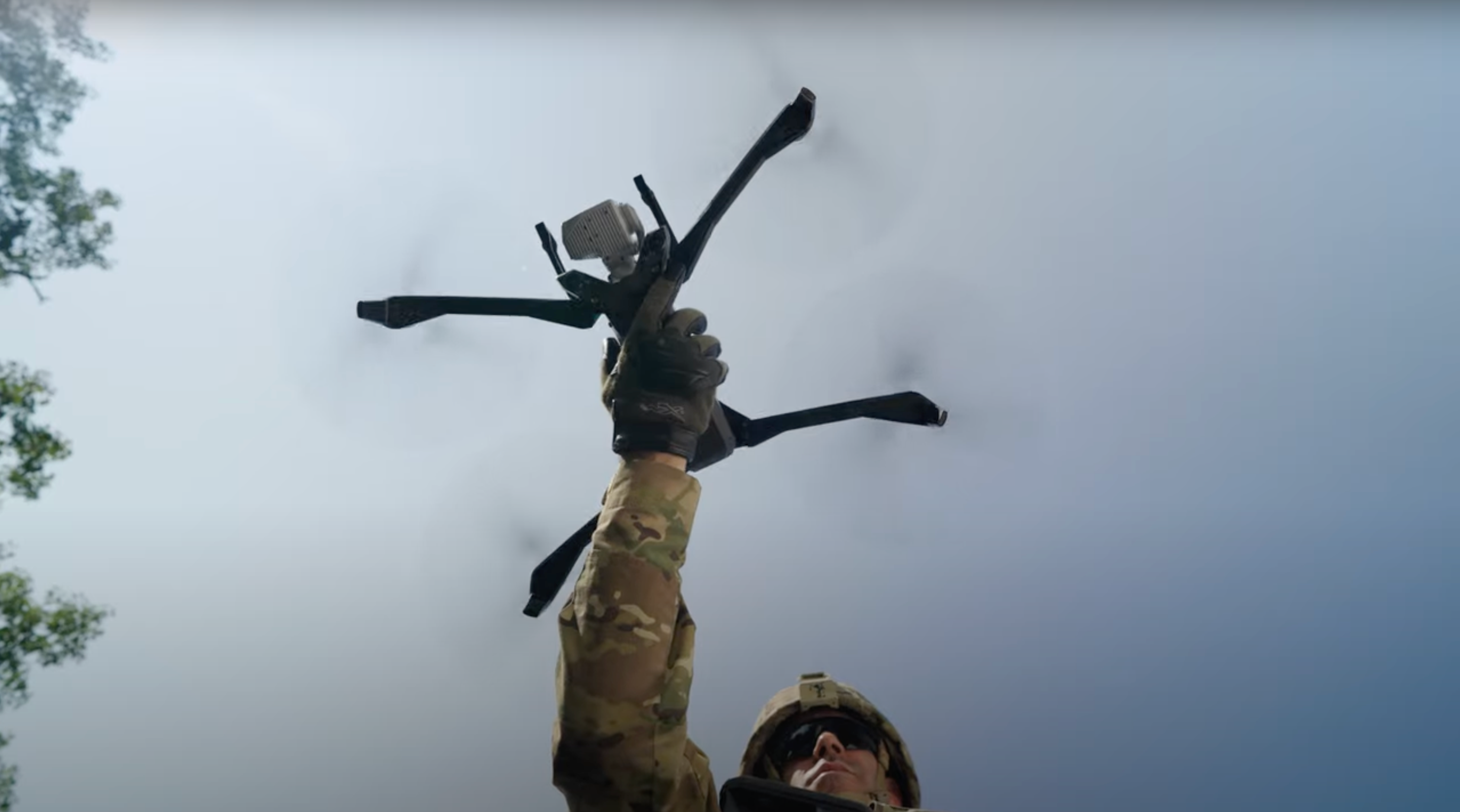
For a lot of routine inspections, the Skydio X10 just makes sense. Because of the built-in object avoidance, 3D scan, all the autonomy that it offers. It’s just a fantastic platform for this type of inspection.
Transportation: Drones for Bridge Inspections
Perform your inspections in half the time.
and at less than half the cost.
Get complete and accurate views of your infrastructure with less complexity and risk.
Quickly and easily assess bridge conditions using Skydio. Get up close to capture high-quality images and video of even the hardest to reach places of your infrastructure without snooper truck logistics or treacherous under-bridge walks.
Any inspector can conduct aerial inspections with just a few hours of training. You'll be able to scale your drone bridge inspection program to get the comprehensive data you need to identify issues early and take action to prevent failures.

49/50 state transportation agencies in the U.S. use Skydio.
Texas DOT conducts safer, more efficient bridge inspections.
No other bridge inspection solution performs like Skydio.
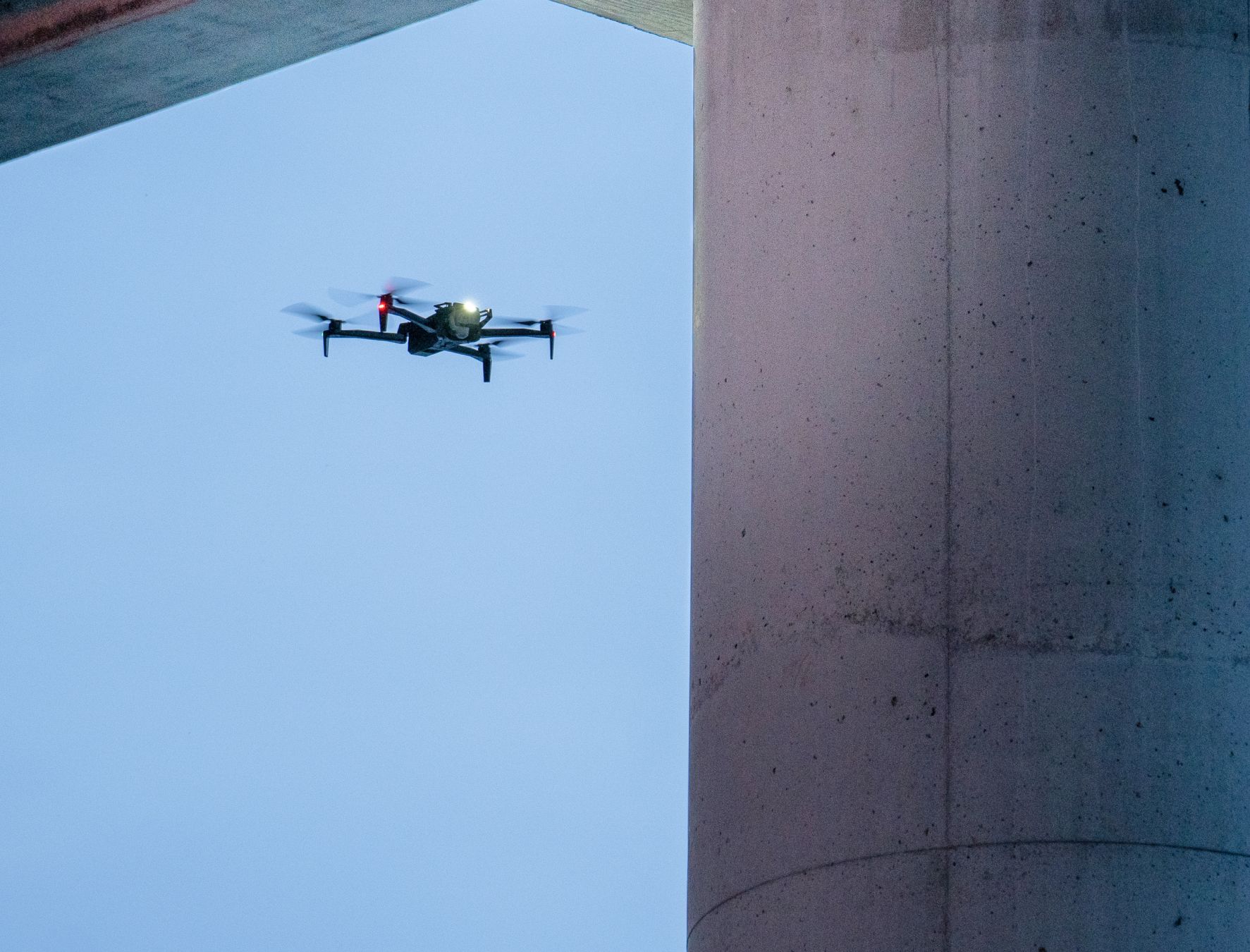
Capture high-quality data within arms length of any part of a bridge.
Safely document critical components of bridge support and truss structures. Skydio’s AI-driven six-camera visual navigation system isn’t reliant on a GPS signal, so precision positioning underneath bridges is possible. You'll consistently capture high-quality data, including photogrammetry, video and thermal images. Get greater coverage and more accurate defect detection to help you make better maintenance decisions.
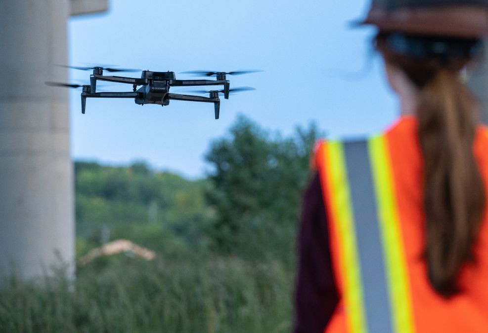
Any inspector can be flight-enabled with just a few minutes of training.
Traditional drones take weeks to learn and 100s of hours of flying time to get proficient. That’s not required with Skydio. Our ground-breaking autonomous technology enable operators with minimal experience to get close to structural components while on-board AI software deftly avoids obstacles. Launch and grow your program without big investments in training.
Fully automate your inspection data collection process.
Accurate 2D and 3D models help make better maintenance decisions over time. But, it’s challenging to collect the data you need. Skydio can automatically fly your structure and capture overlapping images, with metadata, using 3D Scan. You can view a detailed 2D or 3D model on-site with Onboard Modeling, so you can ensure accurate capture and take immediate action. Then easily export the files to your photogrammetry system of choice.
Three more reasons why transportation leaders love Skydio.
Live Streaming
Provide real-time visibility for remote team members to monitor construction and more.

Trusted Source
Gain best-in class security with a solution designed, assembled, and supported in the USA.

Regulatory Guidance
Engage our team of experts to help you through the Beyond Visual Line of Sight (BVLOS) waiver process.

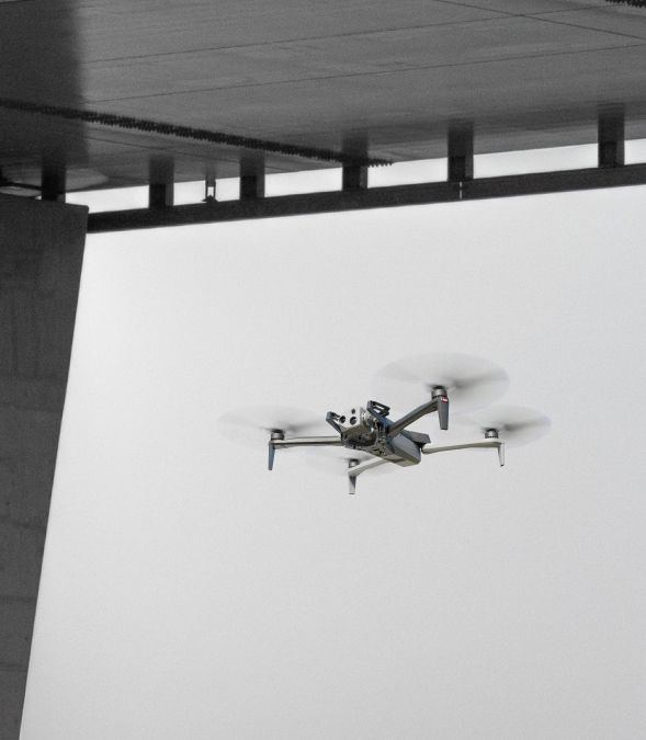
“No other drone came close to successfully completing bridge inspection missions in our trials process. We are thrilled to adopt Skydio’s technologies.
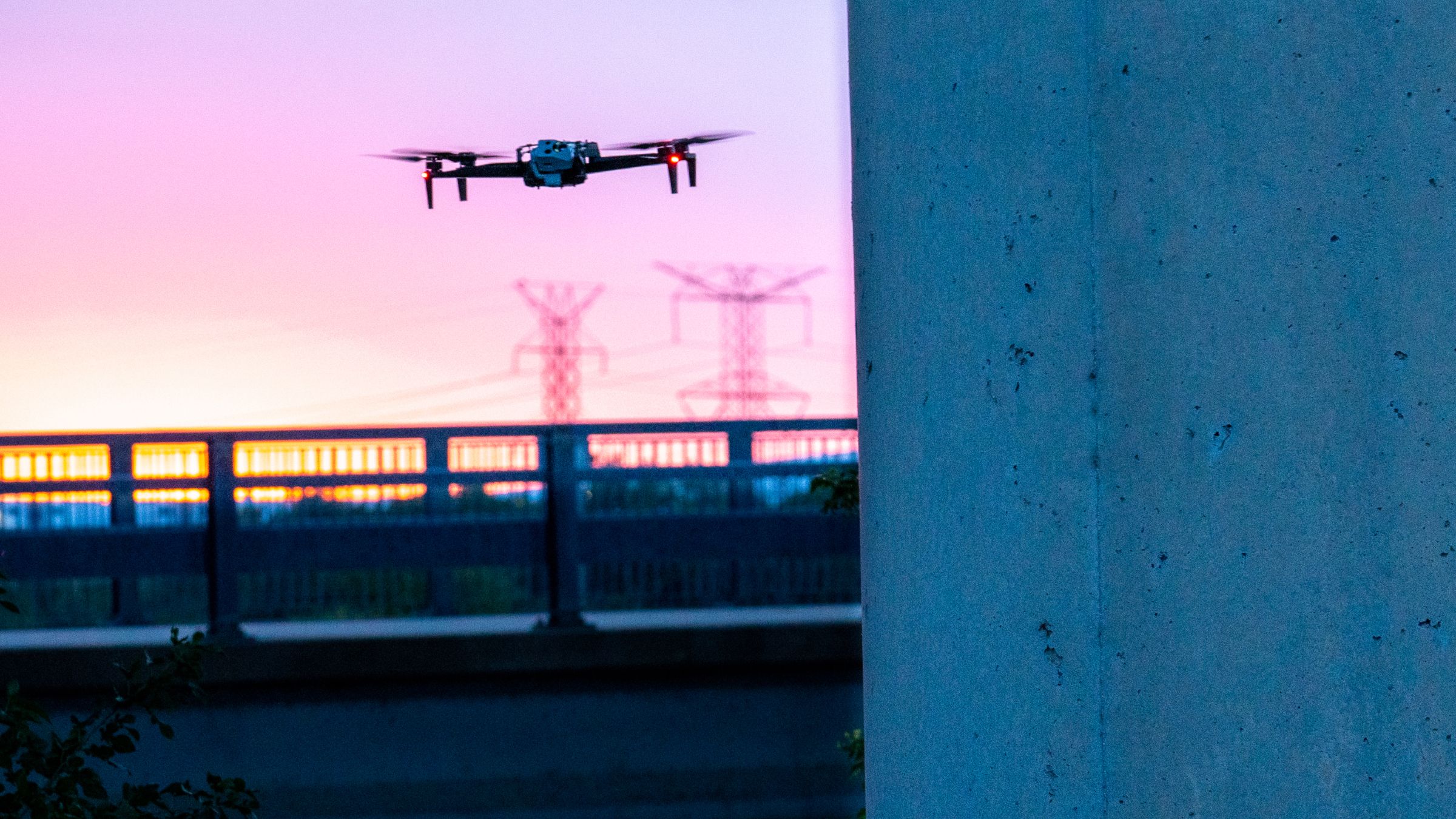
“They can get to all those hard-to-reach places on the bridge (so we can)... prioritize where we are effectively providing maintenance.
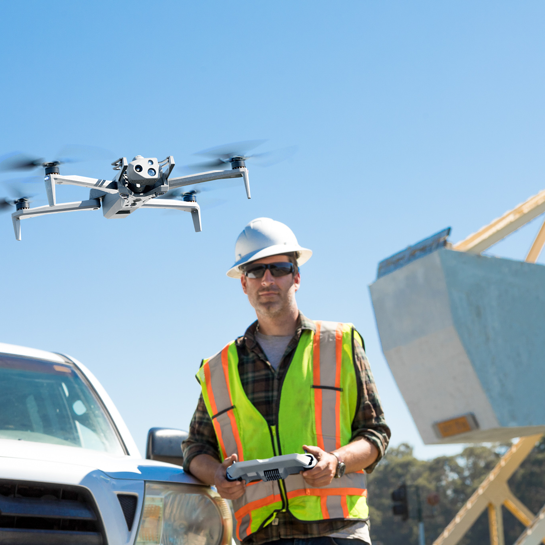
“We had folks with zero flight experience up inside bridge decks within a second flight.
THIS PRODUCT OR SERVICE HAS NOT BEEN APPROVED OR ENDORSED BY ANY GOVERNMENTAL AGENCY, AND THIS OFFER IS NOT BEING MADE BY AN AGENCY OF THE GOVERNMENT.
Get better data on asset condition with the Skydio Bridge Inspection Solution.


Resources
Learn more about bridge inspection with drones.

MassDOT Modernizes Infrastructure Oversight with Drone Technology

Alaska DOT Livestreams Glacial Outburst Flood to Emergency Managers in Real Time
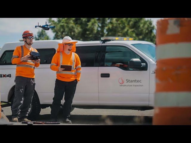
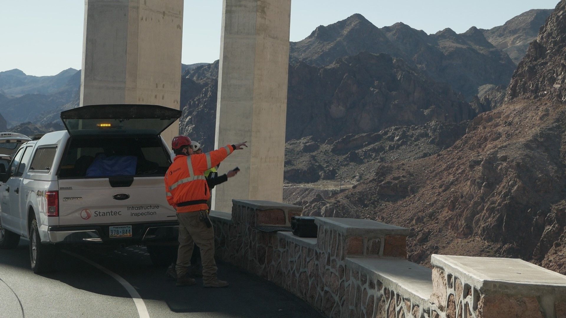
Interstate 80 - Vital Bridge Inspections with Stantec
Autonomous Unmanned Vehicles Transform Bridge Inspections