

Utilities
Keep the lights on with greater reliability and resilience.
Manage maintenance and emergency response from a new vantage point.
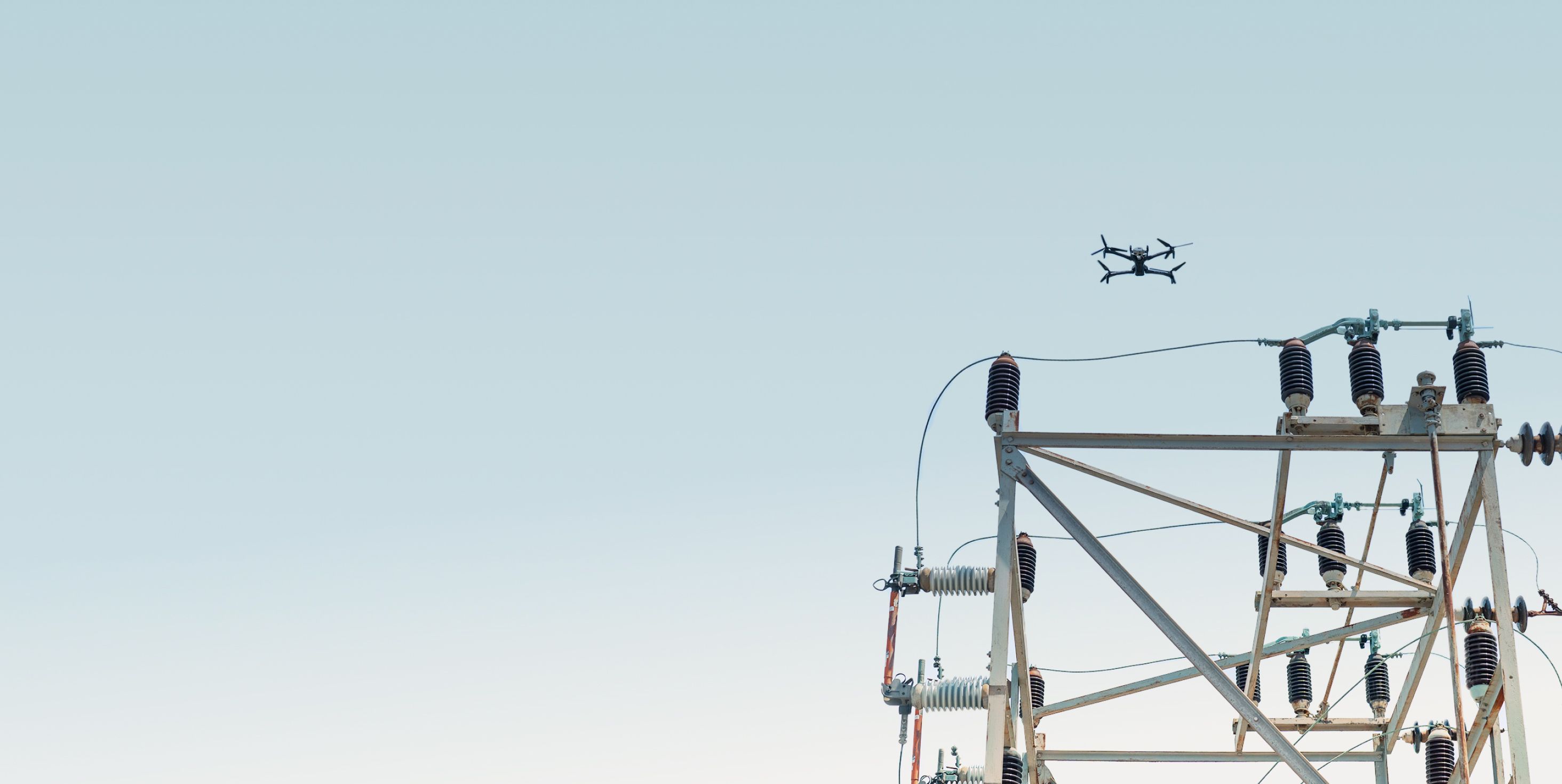
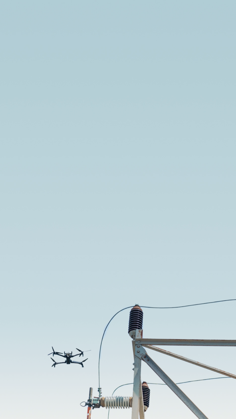
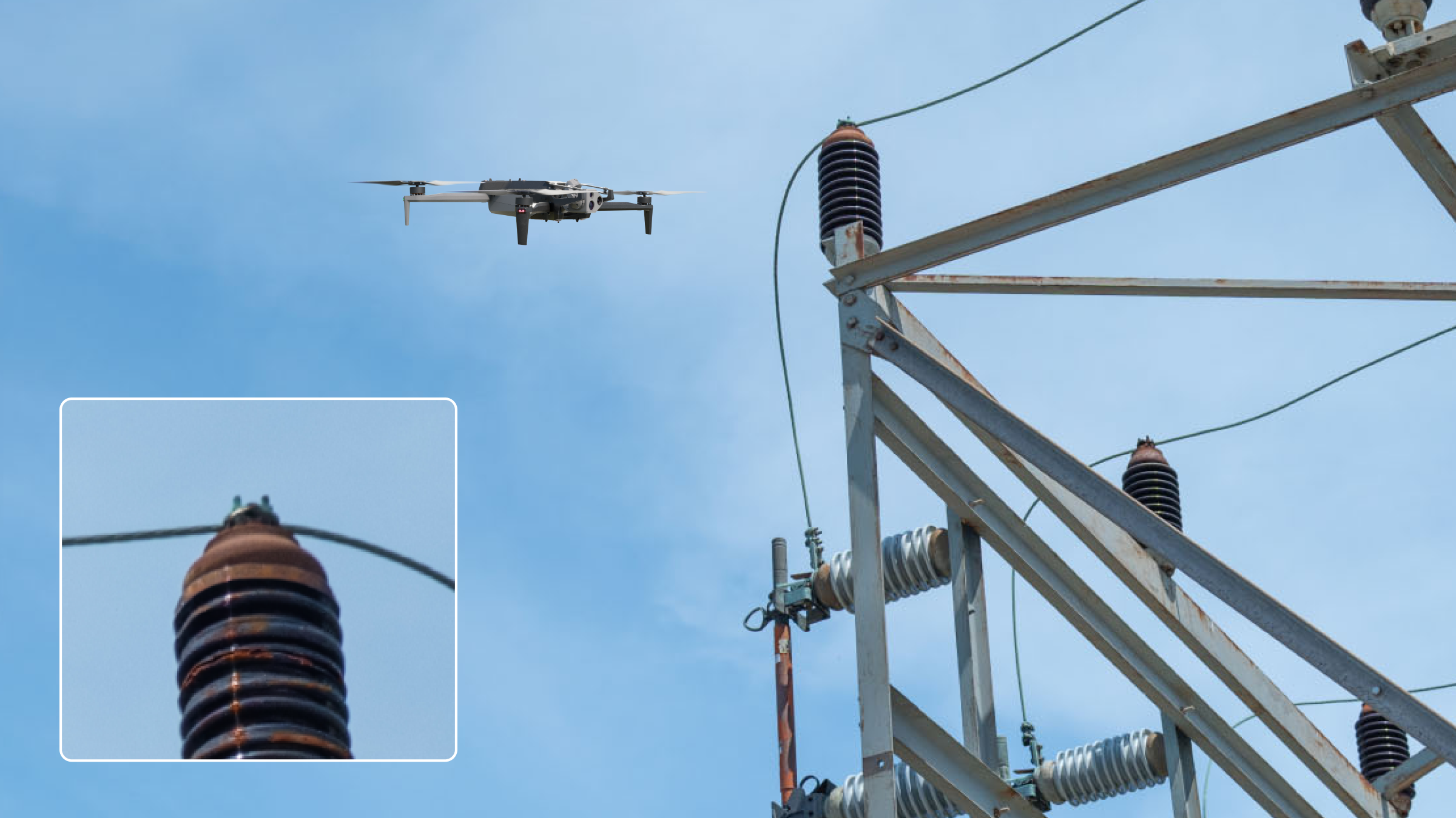
Aerial inspection gives you detailed data about critical assets.
Enables condition-based maintenance.
Stop outages before they start by knowing the true state of your entire system. Make maintenance decisions based on condition, not schedules, to reduce costs and increase uptime.
Accelerates incident response.
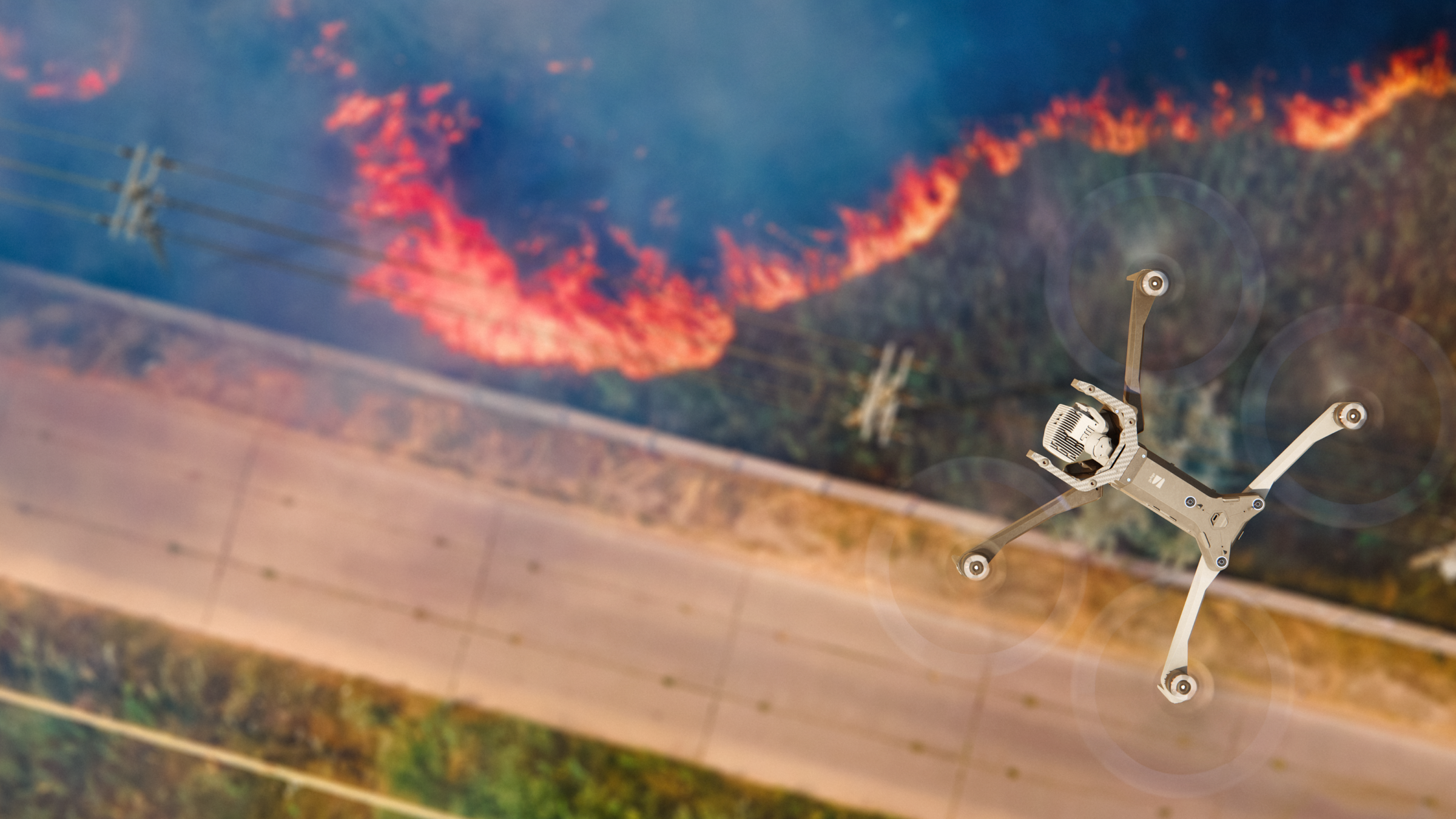
Assess damage quickly in the wake of storm or fire caused outages so you can send the right personnel and equipment to the right place to bring your system back online.
Top utility companies trust Skydio.








Inspection and protection, all from one program.

More data. Greater precision. Lower cost and risk.
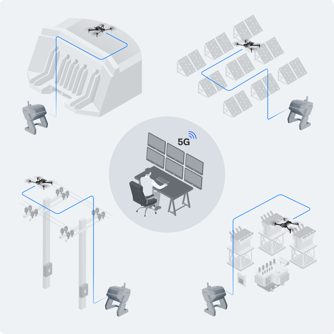
Ditch unnecessary truck rolls and significantly reduce safety risks by using drones to inspect your utility assets, flying locally or from a browser anywhere in the world.
Inspect more often, reach vantage points not accessible by foot, and see your assets in greater detail to inform your decision making.
Multiply output with the same resources.
Inspect more of your assets, in less time with your existing workforce while staff stays safely on the ground, away from potentially dangerous situations.
With fewer resources needed for inspections you have more staff available for higher value work.
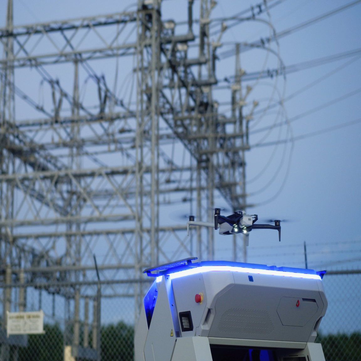
Meet compliance and security needs, too.
Efficiently capture the data for regulatory compliance (like NERC and FERC) and avoid hefty fines.
Strengthen security operations with pre-positioned Docks to proactively patrol and respond to any incidents or alerts.
Start now to build a more reliable and resilient future.
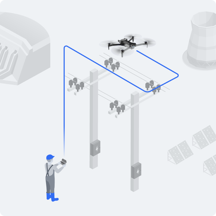
First, empower frontline staff with Skydio drones.
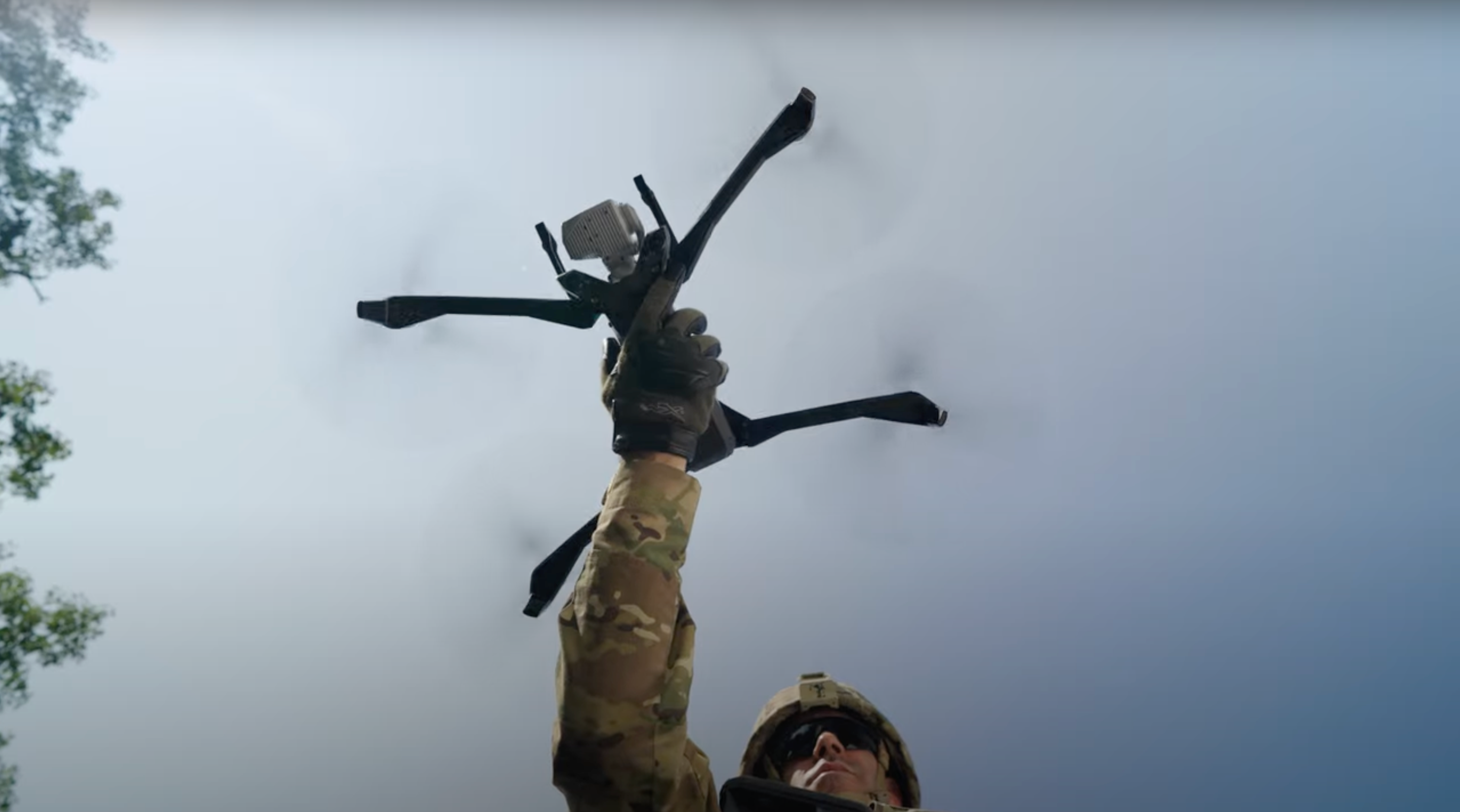
Anyone can fly our autonomous drones with just a few hours of training. And Skydio drones can get up-close views in highly energized environments.
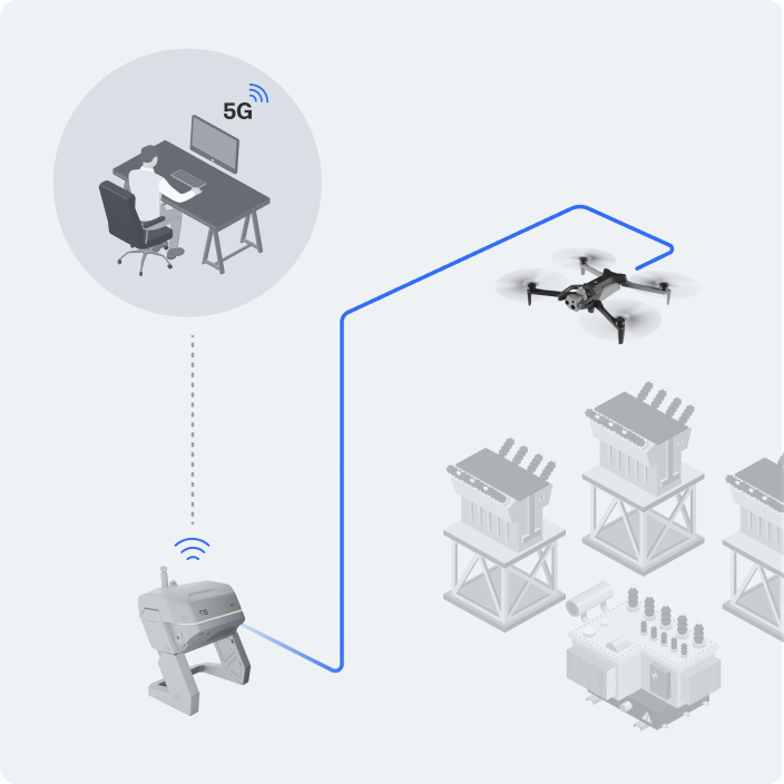
Next, fly inspection missions remotely.
No need to spend on truck rolls when you dock your drones on site. Fly an inspection from anywhere with connectivity—on schedule or on demand to get the info you need to address issues faster.
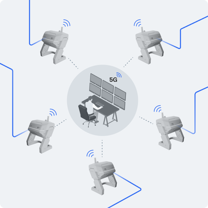
Then centralize and automate inspection flights.
Schedule regular inspections and fly the same path autonomously. Capture the same images each time to automate analysis and see when asset conditions change. Use Skydio Extend to turn that data into actionable insights.
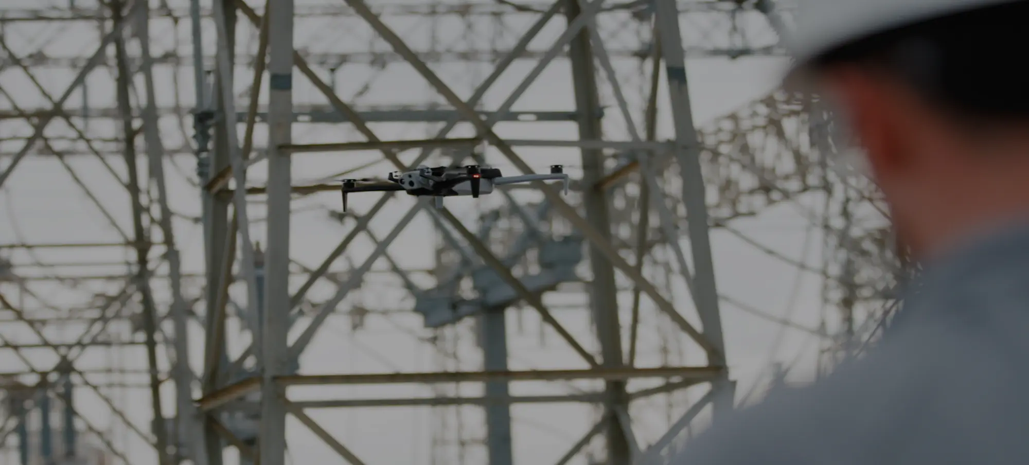
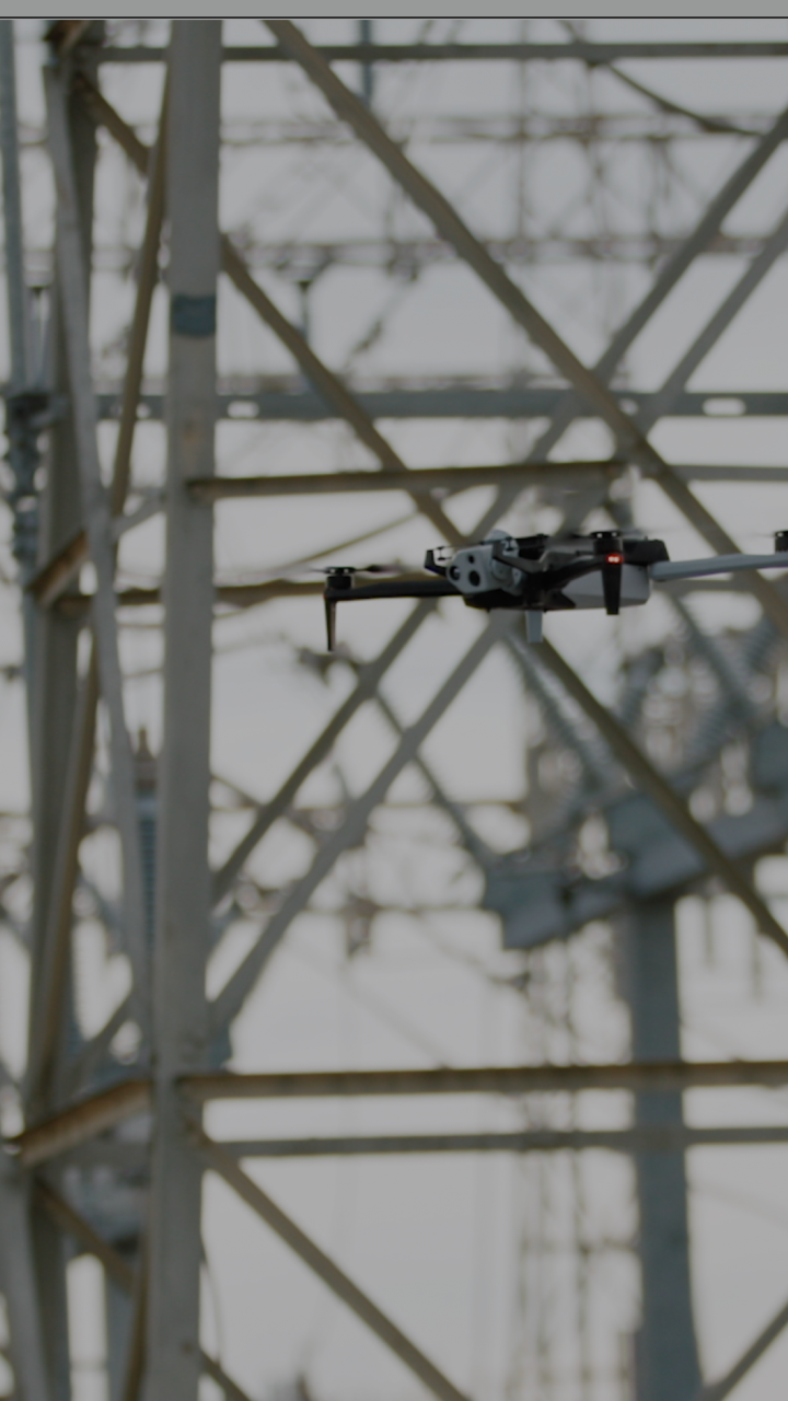
AEP gets the data to make maintenance decisions that reduce outages.
Not just a drone.
A complete drone program.
Utility industry insiders

Experienced utility pros, on your side.
Our team is led by seasoned utility experts with long tenures at New York Power Authority, Southern Company, and other organizations. With their collective and deep experience, they’re making the vision of grid reliability and resiliency a reality for all types of utilities, from large Investor Owned Utilities to Municipalities and Co-Operatives.
Program guidance
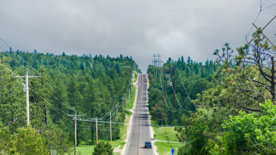
Skydio helps with waivers for flying beyond visual line of sight (BVLOS).
Regulatory requirements can be intimidating – but don't let that stop you from building your drone program. Our Regulatory Services team understands how to navigate the waivers process and can help you secure necessary FAA approvals.

Specialized training to match your needs.
When flying in energized areas, challenging locations or inclement weather, it’s critical to fly with confidence. Our training is designed to instill that confidence. We offer both online and live training to meet your shift and personnel needs. Learn more about how our Success Services team makes it easy for you.
Technology ecosystem

Fly confidently with Skydio X10.
Skydio autonomy makes it easy for any operator to fly safely close to infrastructure, including high-EMI environments near energized lines and equipment. Thermal imaging and precision cameras capture the detail utilities need for line, transformer, and substation work. Scan assets, schedule repeat flights, and do it all remotely.

Fly from anywhere with Skydio Dock for X10.
Position Skydio Docks across your service territory to keep drones ready at the assets that matter most. Launch on schedule or on demand, day or night, without sending a truck or an operator to the site. Get eyes on assets immediately following an event for a timely response.

Automate inspections from start to finish.
Asset Command turns your existing asset data into ready-to-fly missions in a few clicks. Capture more accurate data, inspect more often, respond to incidents automatically and scale coverage—all without adding headcount.
Go inside with Skydio R10.
R10 navigates in confined spaces where GPS drops out and foot access is limited or unsafe. Get detailed imagery into tanks, vessels, or pipe racks without sending a person inside.

Extend range with Skydio F10.
Run patrols along transmission and distribution corridors on a repeatable schedule, or respond to incident that's miles away in minutes. Instantly detect risk, route the right response and get ahead of problems quickly.
Streamline data movement.
Use Skydio Extend to securely integrate drone-captured data into your workflows. Skydio Extend helps you scale your drone program by making it easier to transfer, store, and analyze data and enable better team collaboration — so you can easily expedite post processing analytics, manage enterprise assets and connect with systems of record.

Trust a secure solution, fully supported in the USA.
Avoid country-of-origin concerns with an aerial solution designed, assembled, and supported all right here in the USA. For an added measure of security and peace of mind, Skydio is NDAA compliant.
Drone based solutions for your entire system.
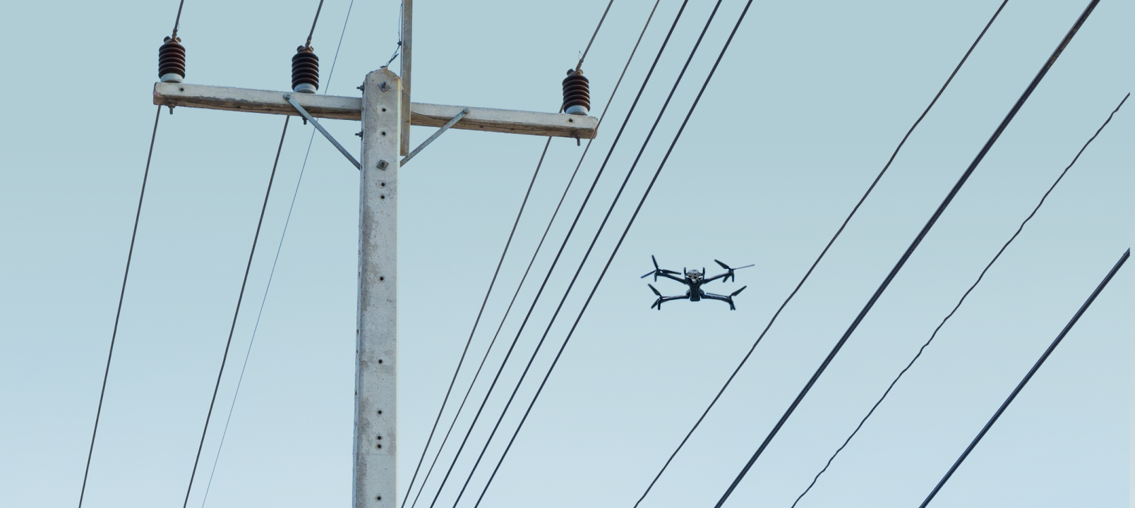
Ensure asset longevity with aerial inspections that are 3x faster and much less dangerous than with bucket truck crews. High-resolution cameras capture the details you need to make the right maintenance decisions.
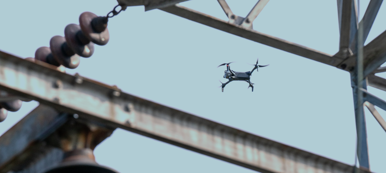
Always know the condition of your substations—even in your most remote locations—through comprehensive, up-close monitoring with the only EMI resistant drone in its class.
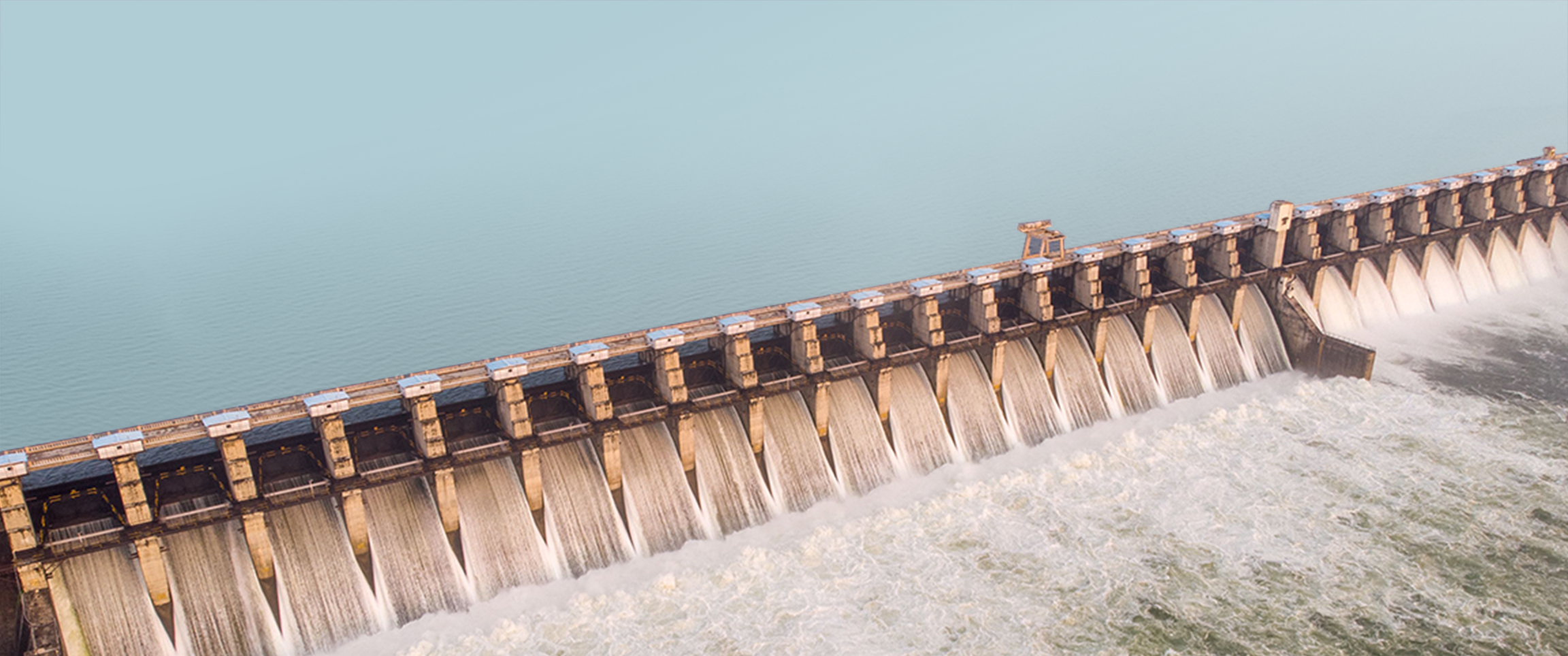
Skydio drones can easily navigate in highly energized and obstacle-filled environments so you can safely survey hydro, solar, fossil, petroleum and nuclear power plant equipment to keep your plant running at its peak performance.
Let us help you keep the lights on.
Learn more about critical asset inspection with Skydio

2,090 Miles Away. Real Assets. Real-Time Inspection. (Live from DTECH)

Flight to Insight: How AEP Ohio is using drones & AI to turn inspections into uptime

ComEd Expands Drone Program with Skydio X10
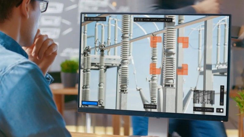
Substation Inspection From an Office Chair
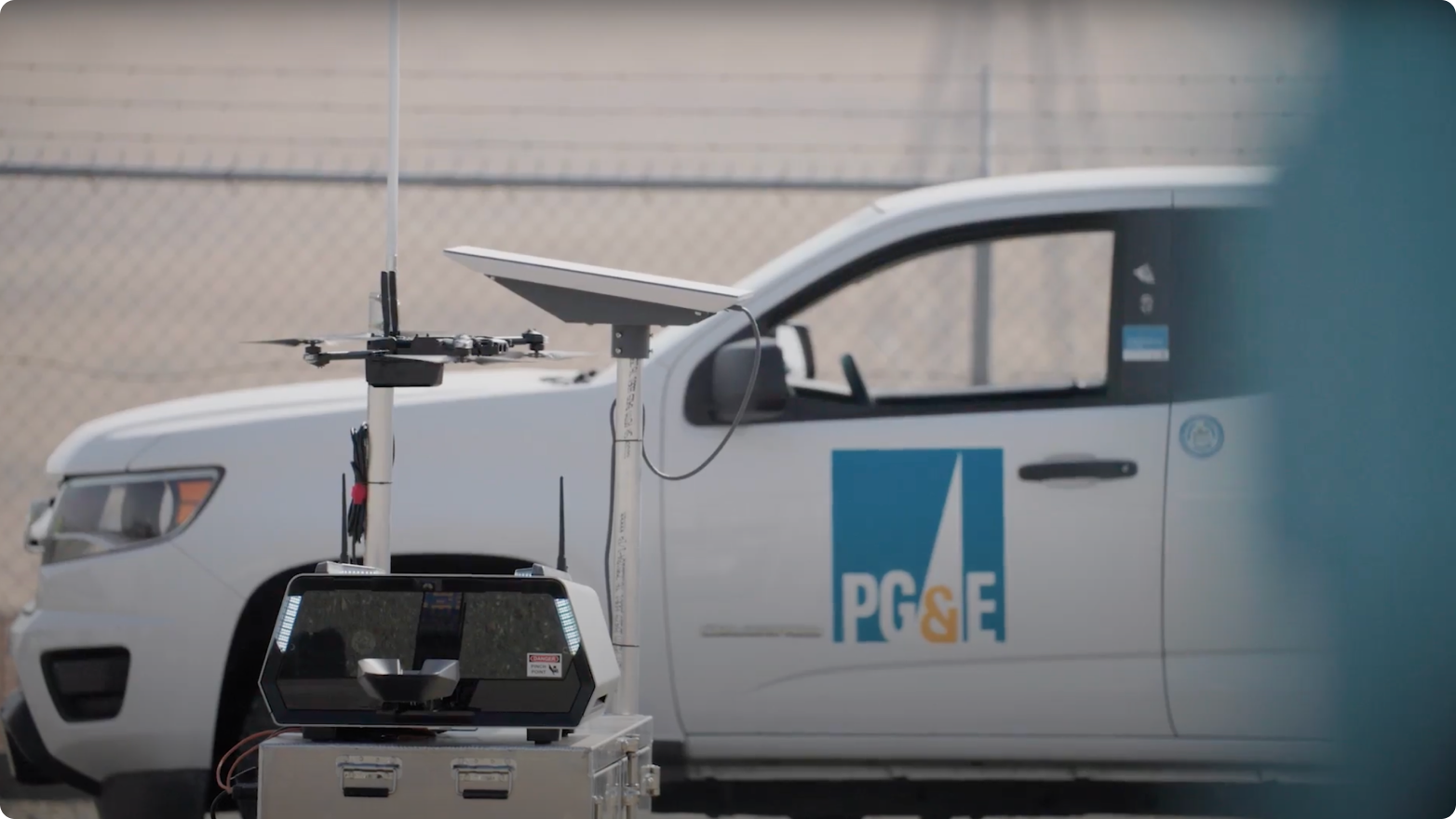
See how Pacific Gas & Electric (PG&E) conducts inspection remotely.

Infographic | Aerial Robotics: The utilities workforce multiplier
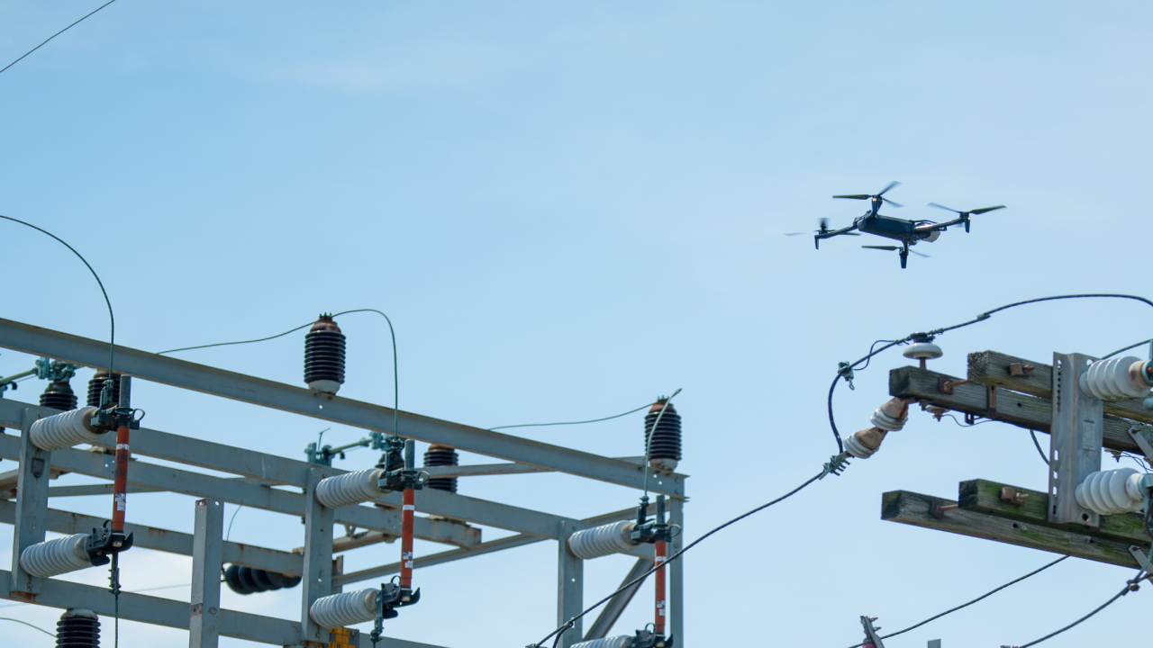
How Utility Companies Use Drones for Inspections
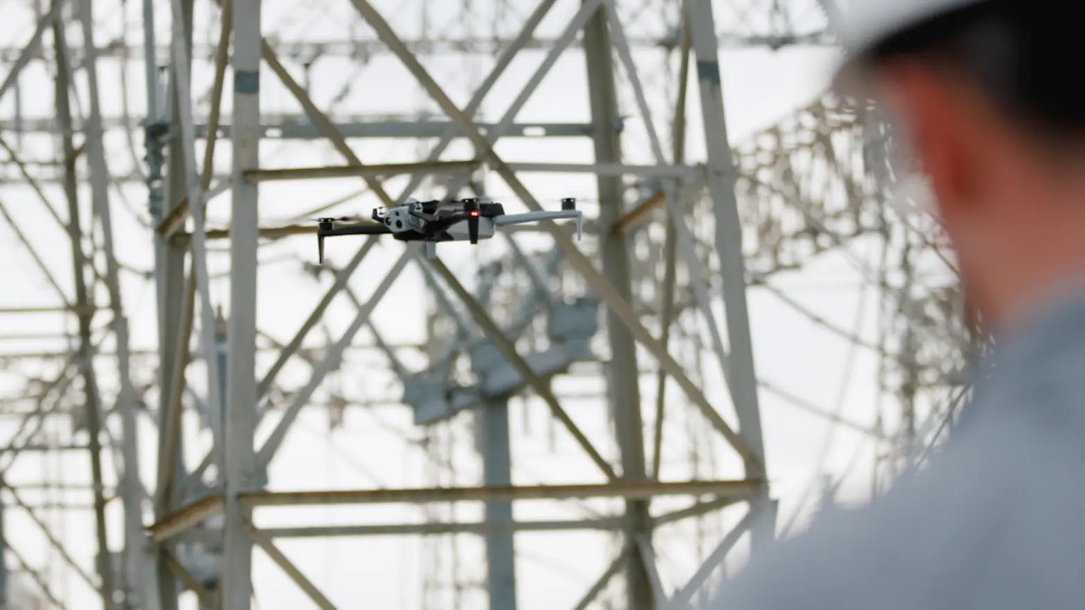
AEP deploys autonomous drones to optimize outage response
1 Always fly X10 in compliance with applicable laws and according to the Skydio Safety and Usage Guidelines
2 Remote piloting and continuous live-stream are dependent on cellular network connectivity. BVLOS permit required for remote flight.