Solving rolling shutter: high-precision mapping with Skydio X10
Synopsis
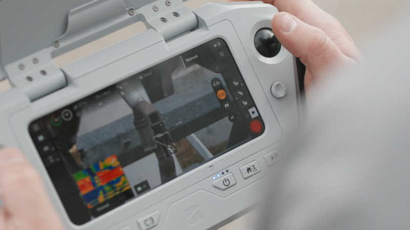
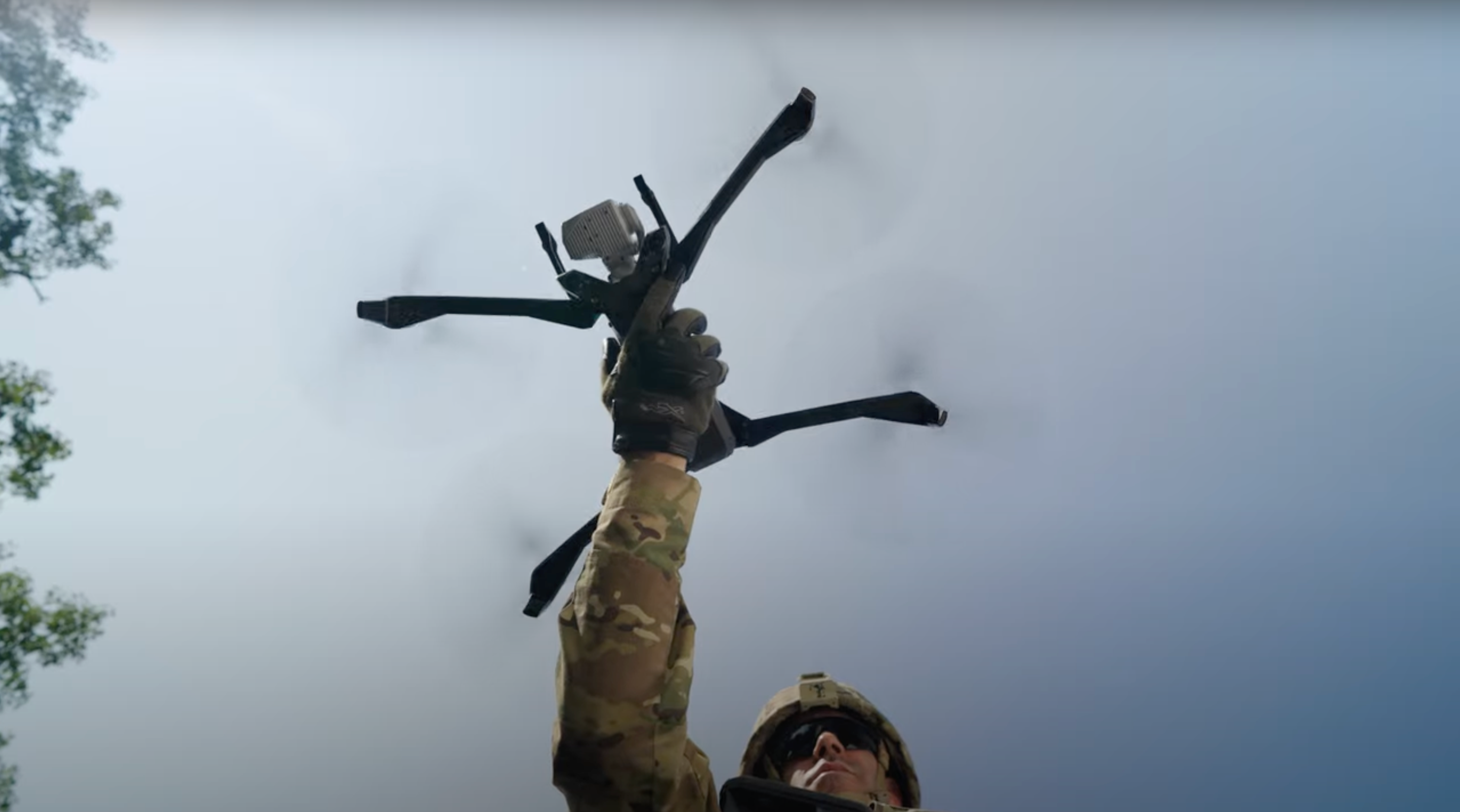
Skydio X10 supports precision mapping with RTK and rolling shutter correction, delivering survey-grade accuracy in less time. This video explains how rolling shutter artifacts are corrected in software, compares accuracy against other systems, and highlights real-world use cases like Turner Construction’s dock-based deployments. It also shows how X10 integrates with mapping tools such as DroneDeploy, Pix4D, Propeller, Esri, and Trimble.
Watch Time
2 Mins 6 Secs


