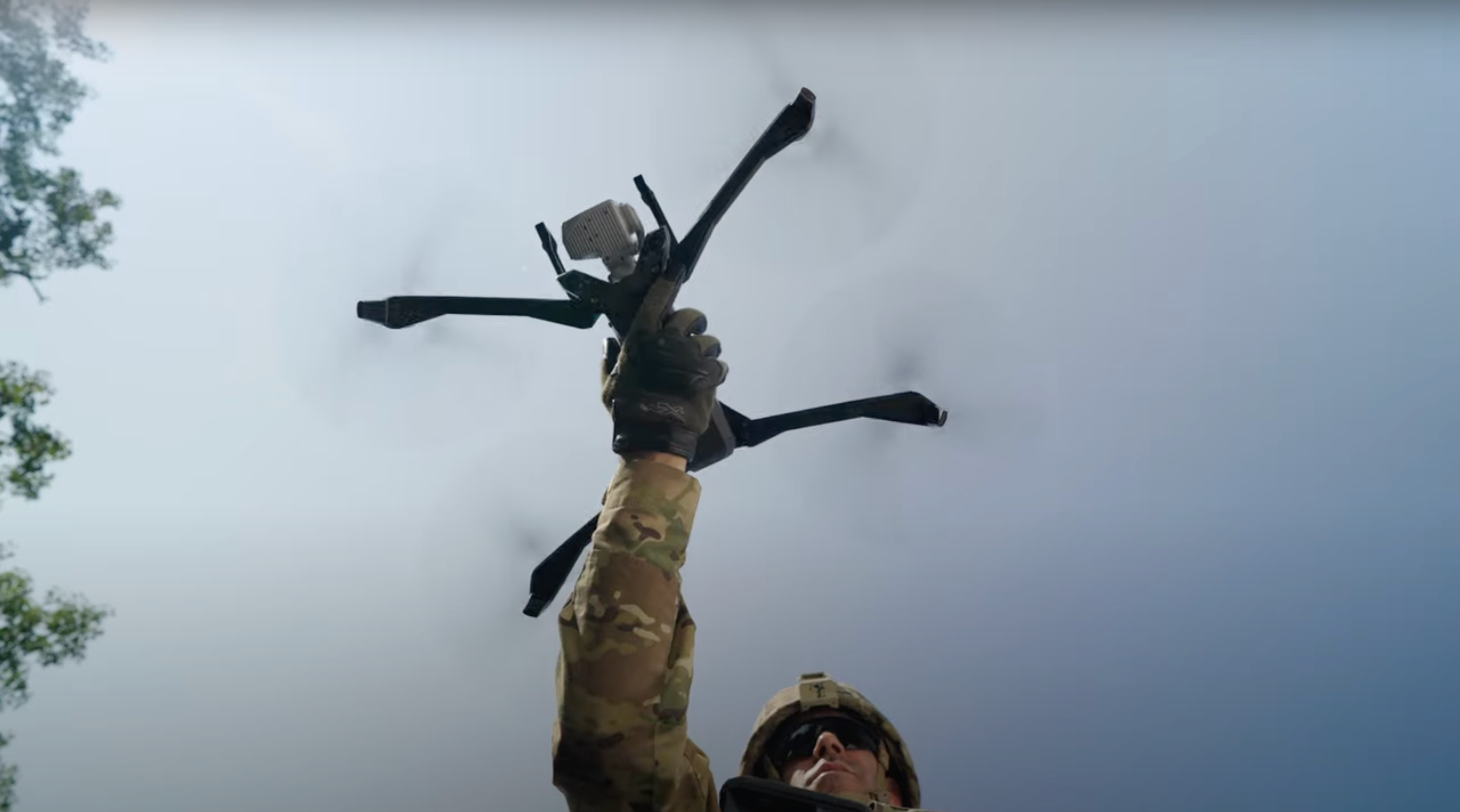
Skydio drones are all about working smarter, not harder, through AI-powered autonomous flight. With the announcement of Skydio 3D Scan, we introduced a new way to think about enterprise drone flights. Now, instead of having to fly manual drones far away from the objects that need to be documented or inspected, Skydio drones use AI to adapt their flight pattern to any scene, and any given resolution requirement. With such a new way to fly the drone, comes an entirely new way to choose which drone to fly. Our Enterprise Drone Inspection ebook, which we are releasing over the course of nine volumes over the coming months, is designed to help program managers navigate this expansive new set of options.
Today, we are releasing Volume 4 of our first-ever ebook, Enterprise Drone Inspection: Picking the Right Platform. This volume is titled: “High-precision Utility Management: How to get decision-quality data from your drone program." In this volume, we dive deep into as-built inspections for construction through 3D model and photo comparisons performed with the support of Skydio’s Image Quality team, led by former GoPro Image Quality Test Engineer, Russell Bondi.
Utility inspections are absolutely critical for ensuring uptime and safety of the power grid, pipelines, and their surrounding areas. Whether flying over power plants, transmission towers, and distribution poles by helicopter, or asking workers to climb to high altitudes in high-voltage environments, these inspections can pose serious safety risks. In some cases, safety requires so much of the inspector’s attention that the data quality of the inspection suffers. Drones can help to generate fully comprehensive inspection datasets, while their operators remain in safety on the ground.

This electric utility switch was captured by a Skydio 2 with 3D Scan for a test study by the Electric Power Research Institute (EPRI). It consists of 458 photos, captured in a single 21 minute flight, then exported to Bentley ContextCapture to be turned into a 3D model with 1.5mm precision. Click here to explore it on Skydio’s 3D Model Gallery!
However, not all drones are created equal. Last generation manual drones cannot be flown up close to utility structures without introducing high crash risk, so manufacturers have raced to add larger, and more expensive, camera payloads. Skydio autonomous drones can accomplish better inspections with smaller cameras simply by being able to fly closer to the subject, reducing the requirement to carry such precious camera payloads.
With an expanding set of options, it is no longer good enough to simply buy the drone with the biggest camera. To unlock these next-generation operations, drone program managers need to know they will be able to generate the data they need to make and communicate decisions. We sincerely hope that these materials, with their in-depth dataset comparisons, will make your upcoming drone decisions easier as you build and scale your fleets. Choose confidently and safe flying!
Download Volume 4 of the ebook


