Integration Summary
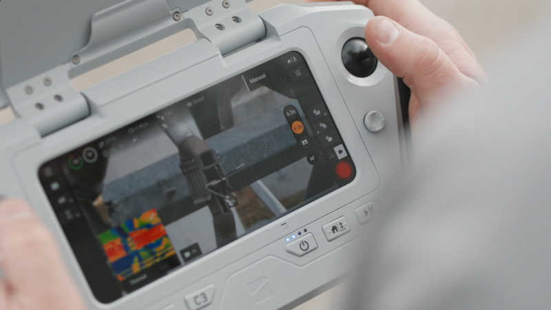
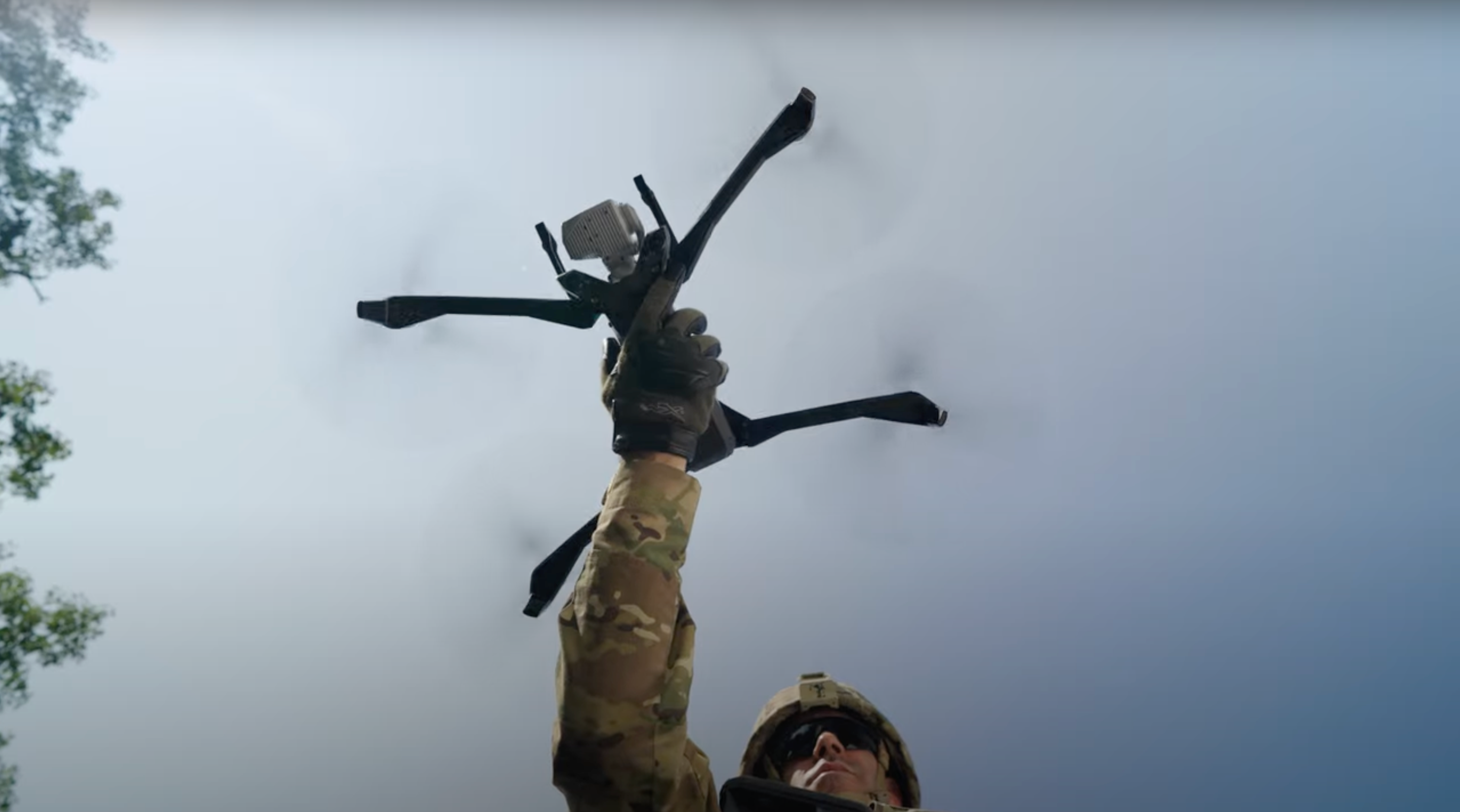
Skydio integrates with Peregrine to provide drone data, including location, video feeds, and telemetry directly into Peregrine’s decision intelligence platform. This allows law enforcement and public safety users to ingest aerial insights alongside other mission-critical data sources in a single, unified environment.
Peregrine rapidly connects Skydio’s live situational awareness to broader agency data—such as CAD, RMS, sensors, and third-party systems—so agencies can act faster with full operational context.
Unified intelligence – Skydio data is layered alongside internal and external systems, creating a live, geospatial operating picture for public safety agencies
Accelerated decision-making – Drone imagery and flight data become immediately actionable when surfaced through Peregrine’s search and visualization tools.


