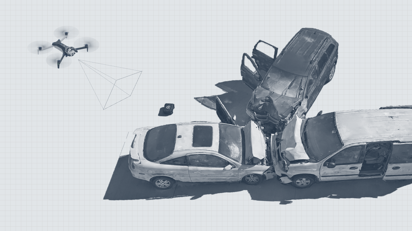
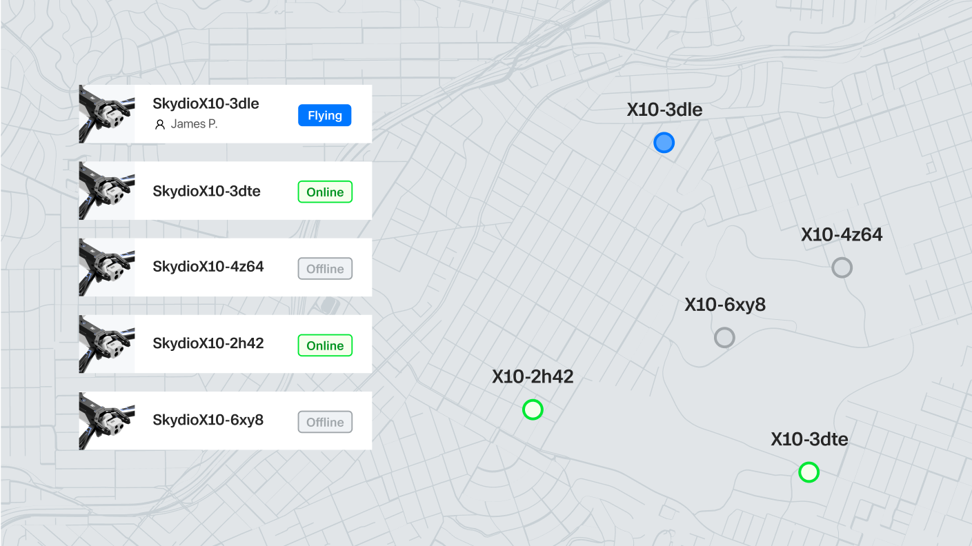
Software that soars. So work just flows.

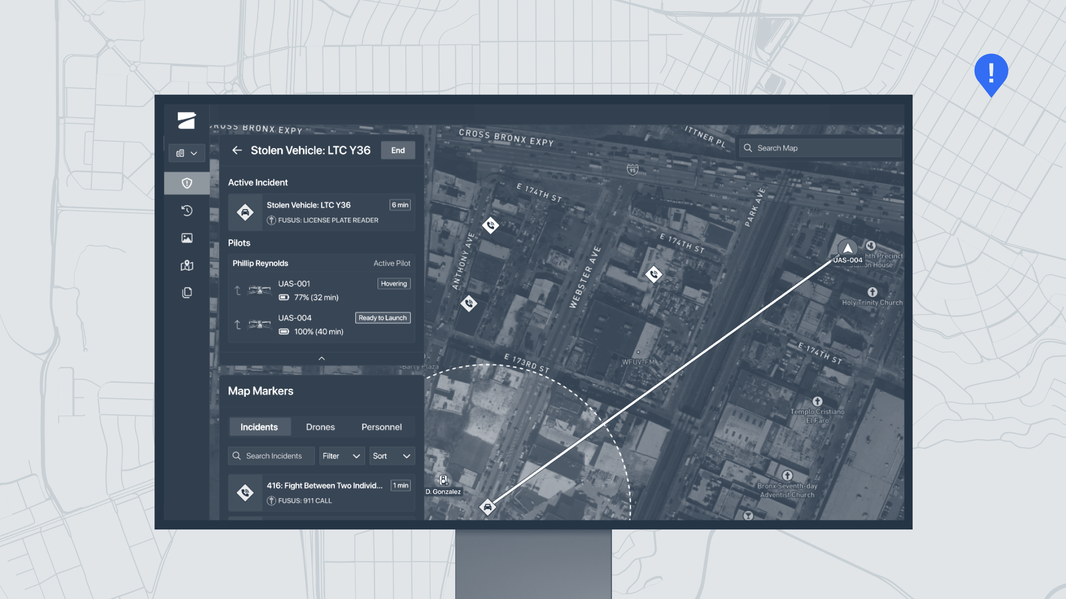
Work smarter, react faster, and automate complex tasks with specialized applications that help you get more out of your drone program.

In the cloud

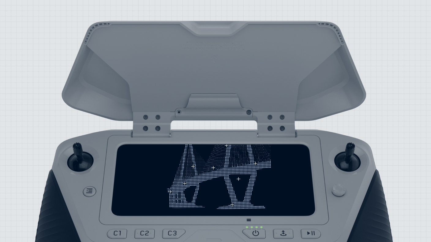
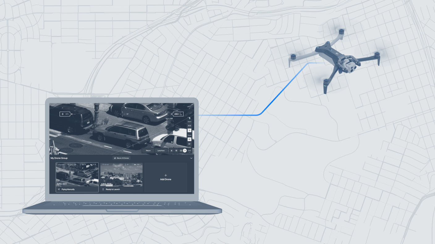
Use Skydio Cloud to operate from anywhere, manage your fleet, and keep your program running efficiently.

DFR Command

Launch, operate and grow drone-as-first-responder programs.

graphic of Skydio DFR Command software interace
Read
Remote Ops

Automate your workflow from anywhere — no pilot on site needed.

Read

Built-in Skydio Cloud capabilities

Real-time operations & awareness

Remote Flight Deck

Fly remotely from a browser.

graphic showing Skydio Remote Flight Deck on screen with Skydio X10 drone being flown remotely
Read
Live Streaming

Share the drone’s view instantly from any browser or mobile device.

graphic showing Skydio Live Streaming software application

Missions

Map Capture

Capture imagery for maps and 3D models, with in-field editing and version syncing.

graphic showing Skydio 2D Map Capture with stitched images
Mission Planner

Build, schedule, and automate missions.

Asset-based inspection

Create inspection plans using your existing asset data.

Data & fleet management

Fleet Manager

Manage your drones, docks, operators, and flights in one place.

graphic showing Skydio Fleet Manager software interface
Media Sync

Transfer data to the cloud securely and instantly.

graphic showing Skydio Media Sync from Skydio X10 drone
Data Storage

Keep mission data organized, accessible, and ready for analysis.

Transparency Dashboard

Share selected flight data with your community.

Integrations

On the controller

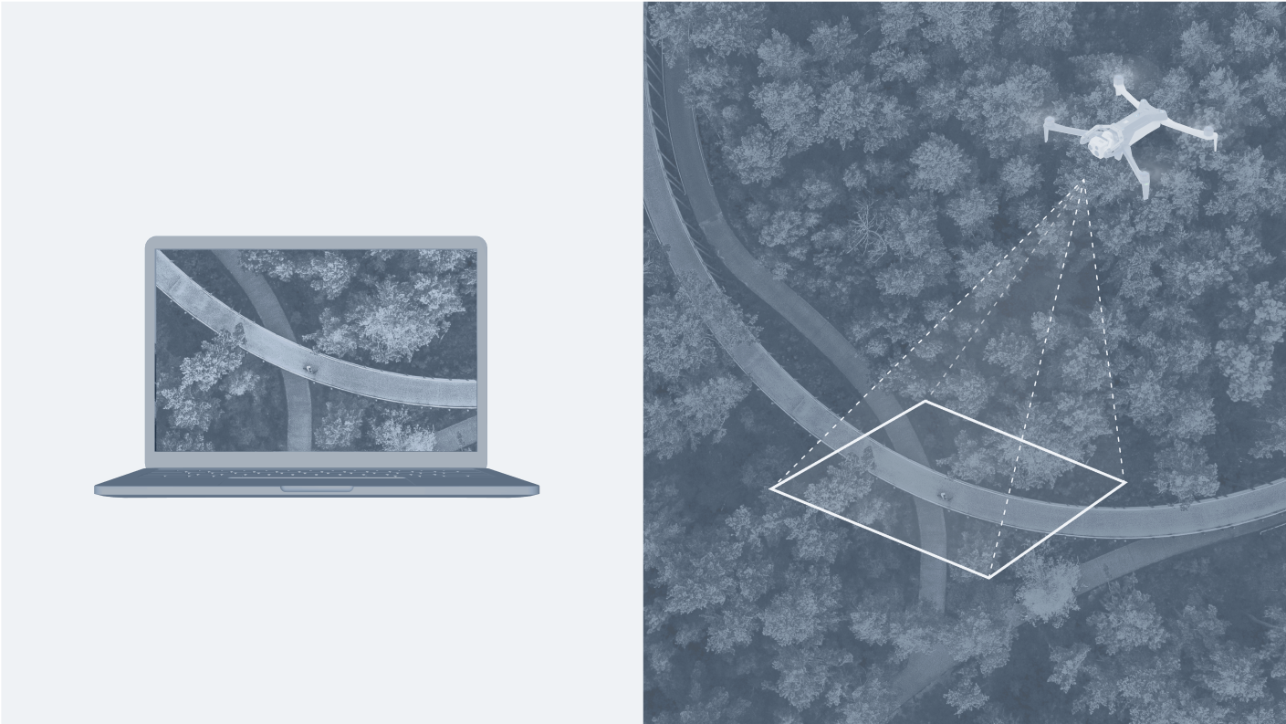
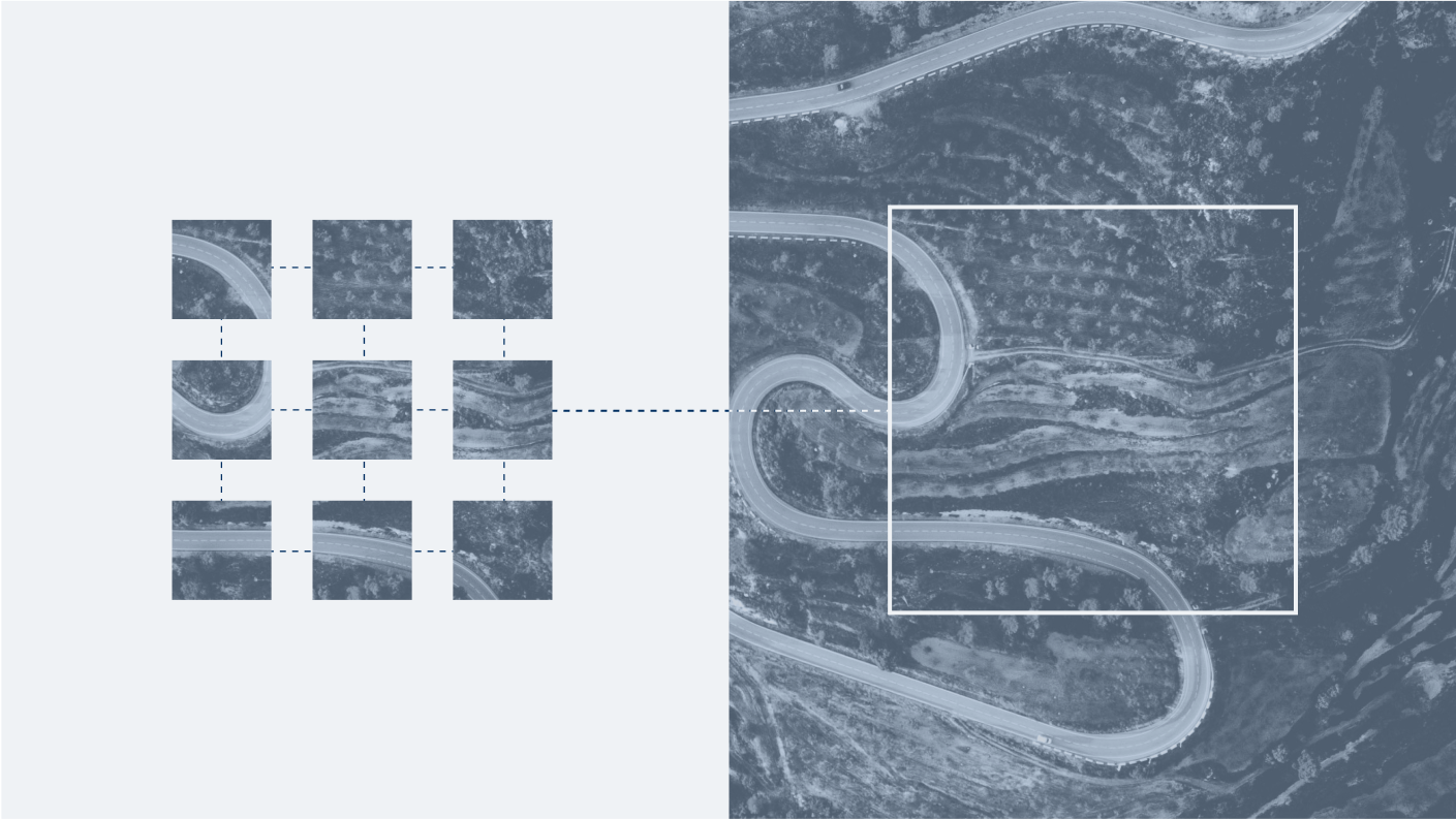
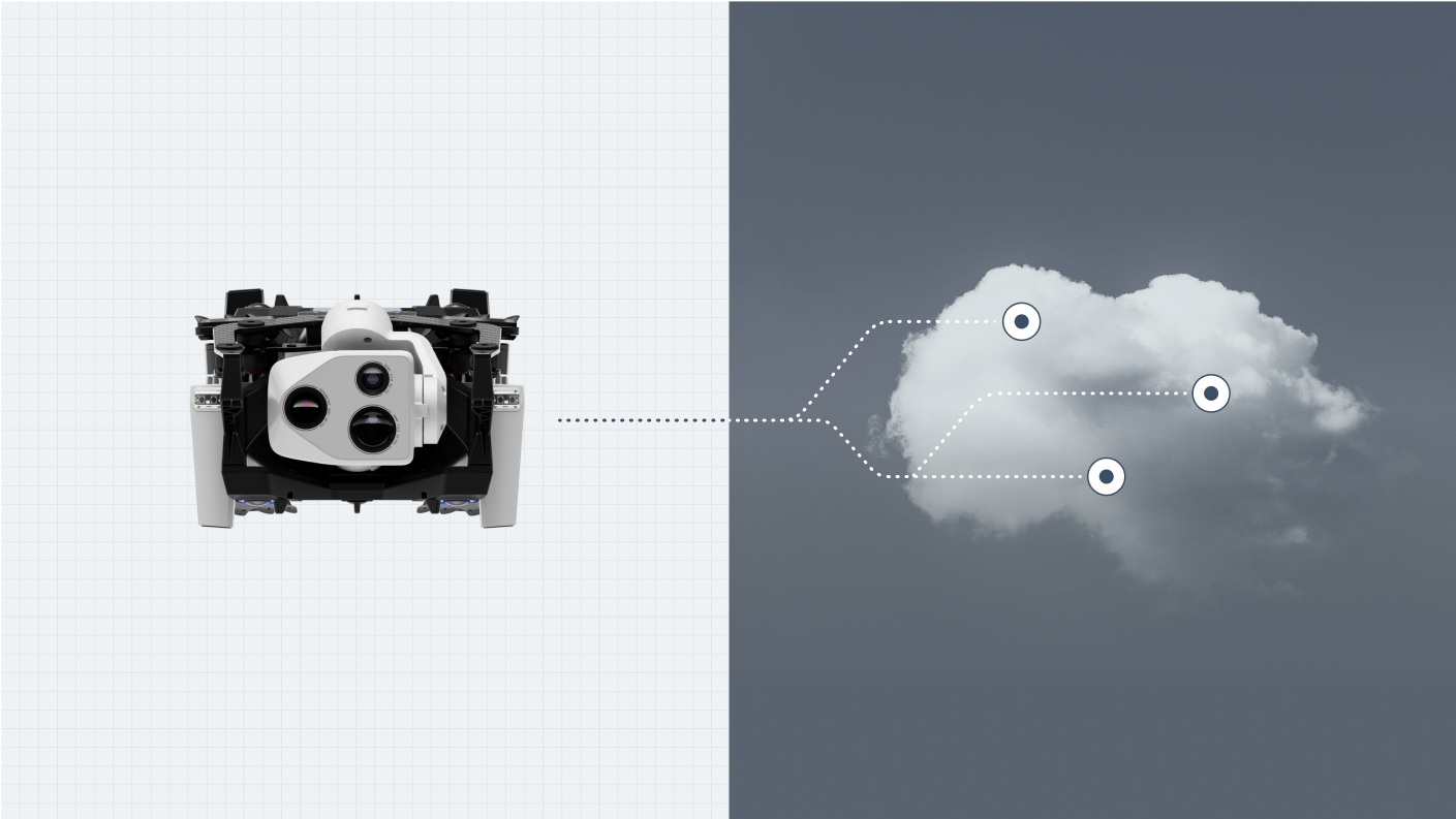
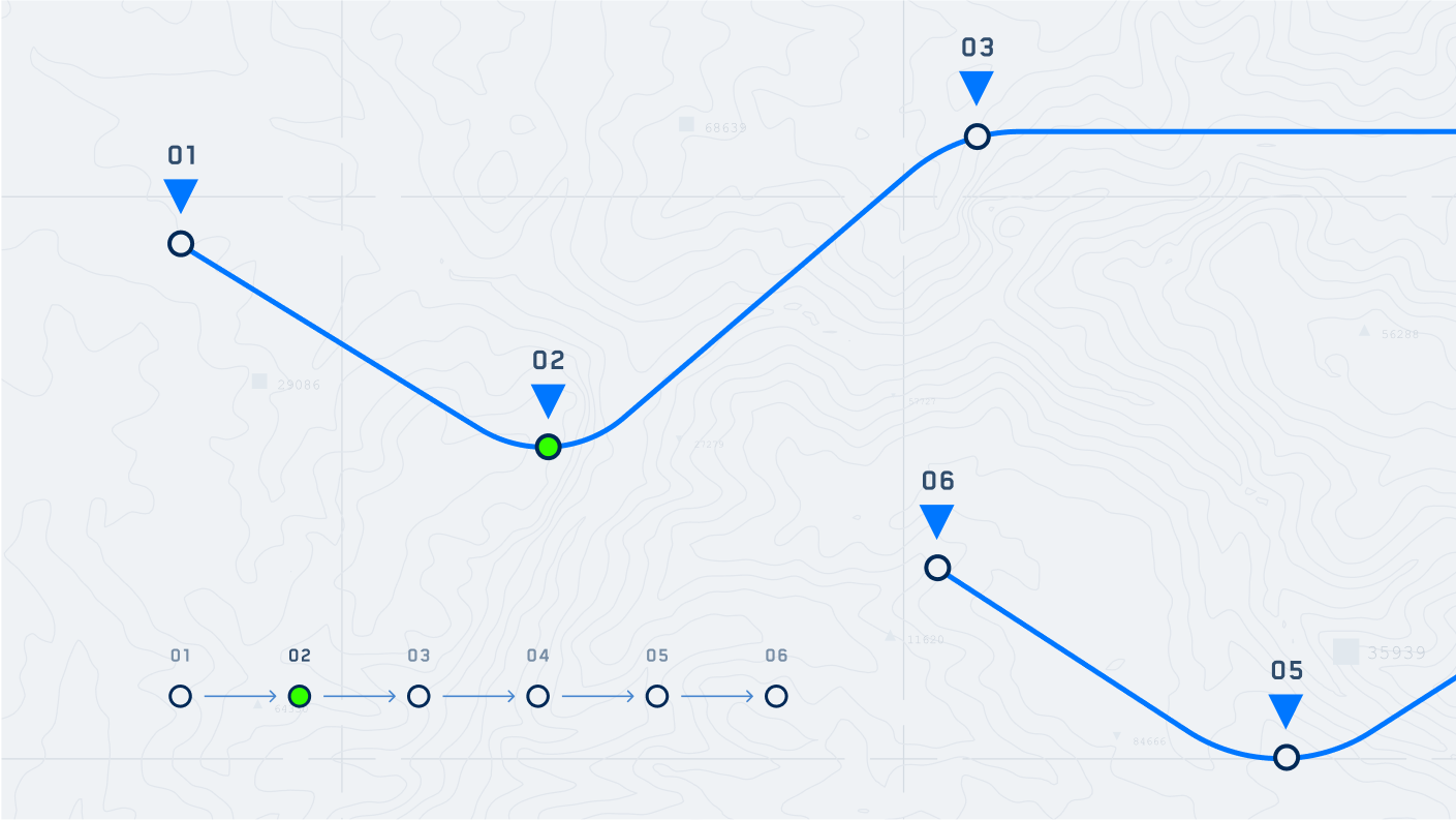
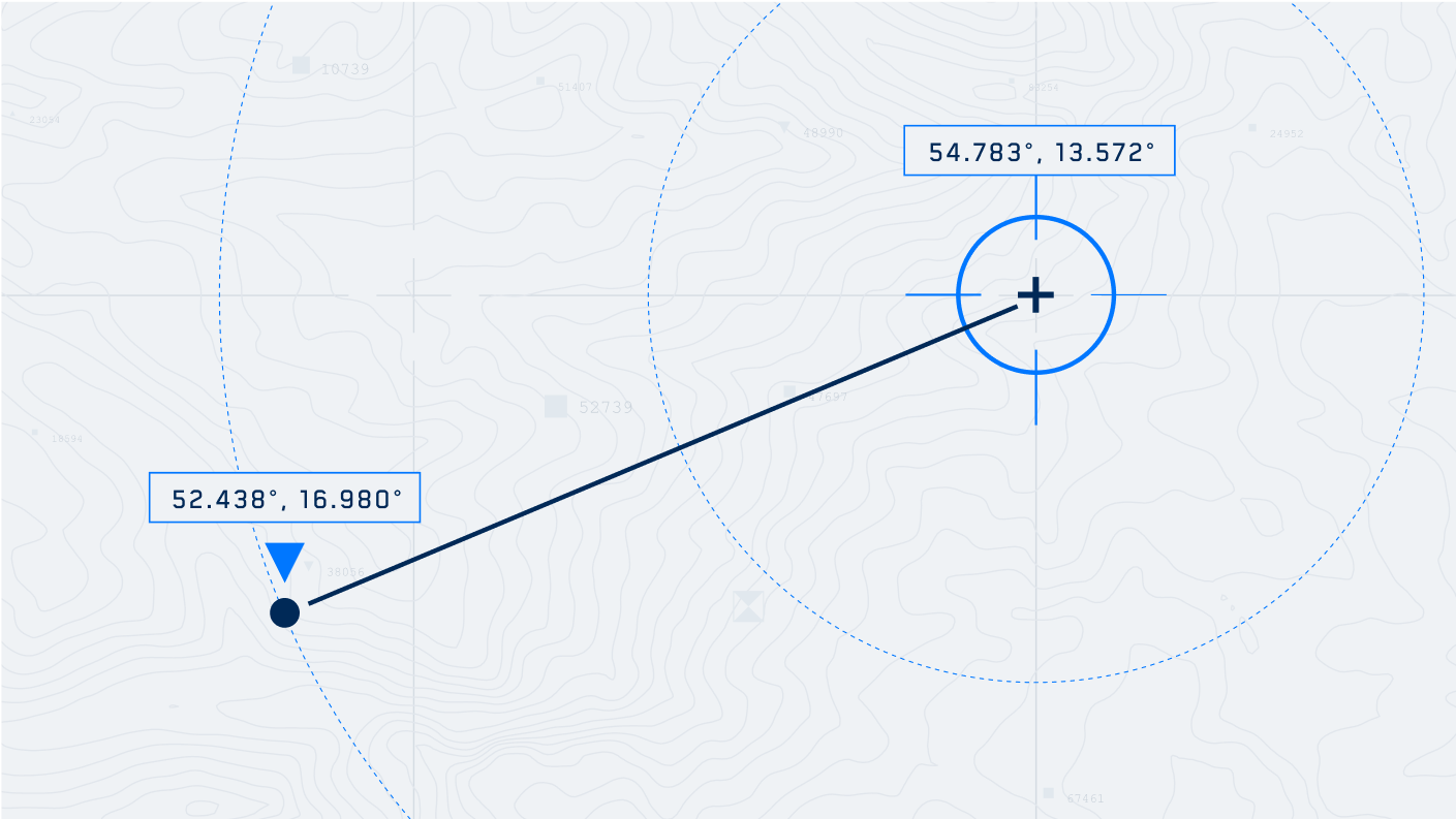
Onboard data capture & mission execution tools that make every flight smarter, safer, and more efficient.


3D Scan Software

Autonomously capture data for accurate 2D maps and 3D models.

graphic of vehicle crash scene with Skydio drone overhead
Read
Onboard Modeling

Generate fast 3D models after landing to confirm coverage.

Skydio drone controller with 3D capture of a bridge on screen
Read
Keyframe

Design custom flight paths with visual cues.

Live Streaming

Share the drone’s view instantly from any browser or mobile device.

graphic showing Skydio Live Streaming software application
Crosshair Coordinates

Get real-time ground-level coordinates on video overlay for faster, clearer decisions.

graphic of Skydio Crosshairs Coordinates software

Upgrade your workflow to autonomous.

Get started

What team would you like to contact today?

Support