

Drone as First Responder Explained
What is DFR?
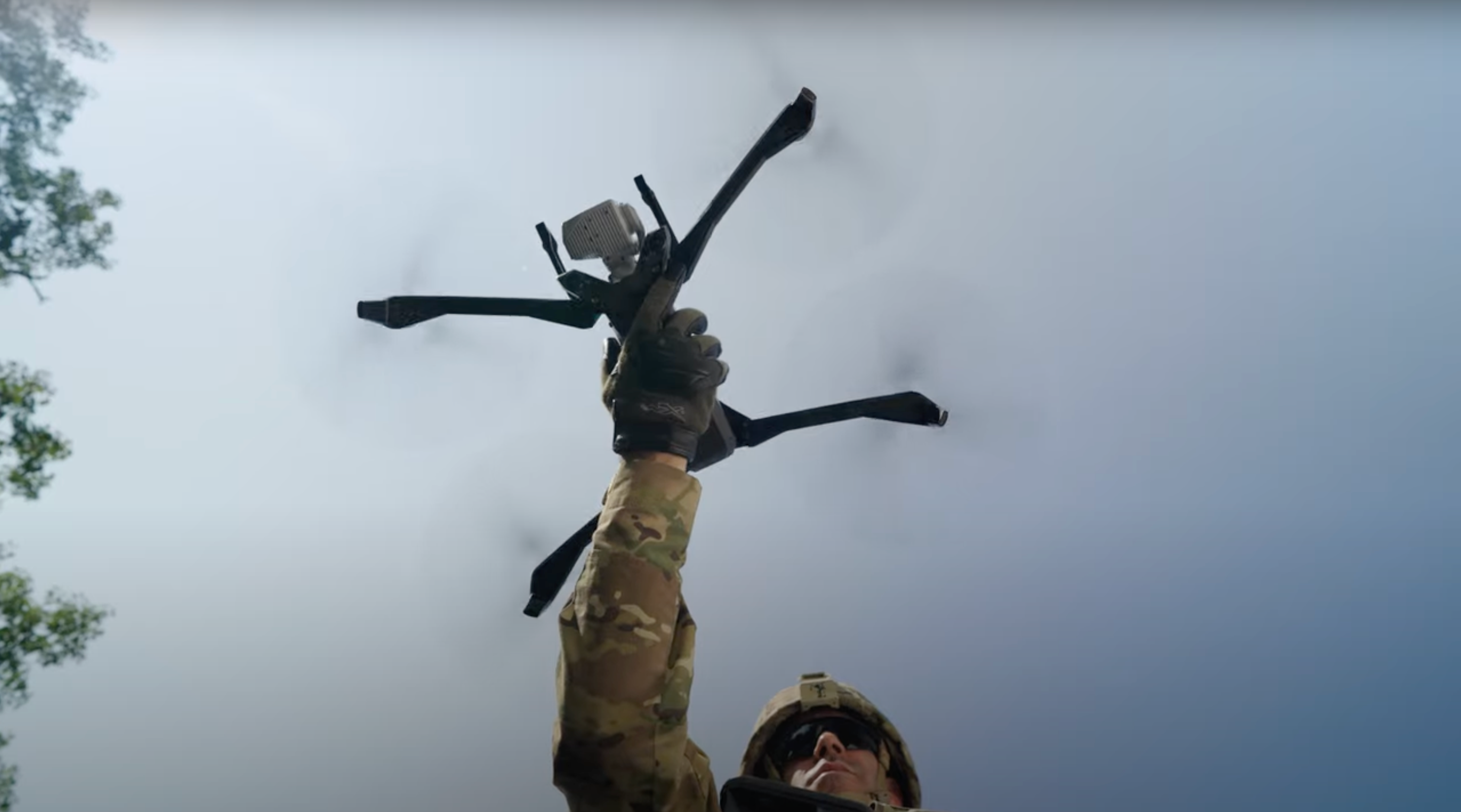
Drone as First Responder (DFR) is a public safety operating model in which a law enforcement or fire service agency deploys a drone to a 911 call for service. The operator of the drone is a trained first responder whose mission is to get to the scene of the emergency as quickly as possible and provide live visual information to responders on the ground, typically while they are still en route. This real-time situational awareness helps first responders determine the safest and most effective response.
Transparency is a critical foundation to every DFR program.
Public confidence depends on more than explaining what DFR can do. Public safety agencies should clearly define when drones may be deployed, what may be recorded, who may access videos, how long data is retained, and how flight activity is reported to the public.
Skydio provides tools that support these practices, but technology alone does not create transparency. Policy, oversight, and consistent public communication do.

Frequently asked questions
What authorizes and launches a Skydio DFR flight?
A trained first responder at the agency, acting under the agency's written policy, is responsible for authorizing and launching DFR flights. That person decides whether a 911 call for service or planned operation warrants a drone, and a trained first responder at the agency is in command from takeoff to landing.
Does Skydio DFR enable sharing of video across agencies?
There is no mechanism for third parties (including other public safety agencies) to request access to DFR flight videos. There is no mechanism for an agency to automatically share videos with other agencies.
Live video of a DFR flight can be streamed to designated first responders and command leadership via a shareable URL, but only while in flight. This is to enable all first responders to gain critical information to help determine the safest and most effective response to that emergency. Once the flight is over, no video from that flight can be accessed via the live stream URL.
Who can access DFR videos?
The agency owns its DFR videos and controls access to its DFR videos. Authorized users receive access according to permissions established by the agency, and the agency may transfer videos to systems it selects.
Does DFR require FAA approval?
All DFR operations must comply with FAA regulations. Every agency must receive permission from the FAA to operate drones safely beyond the operator’s visual line of sight (BVLOS). Skydio drones have received hundreds of BVLOS approvals and have a strong safety record.
How can members of the public understand how their public safety agency uses Skydio DFR?
We strongly encourage agencies to publish a transparency dashboard, where the public can see when, where, and why the agency deployed a drone (example: https://cloud.skydio.com/dashboard/wichita).
What data do Skydio DFR drones collect in flight?
The primary camera system of the DFR drone captures video and, if required, still images while in flight. Telemetry metadata such as date and time is also captured, much like a standard camera. Flight telemetry, video, and imagery captured during a flight are uploaded from the drone SD Card and passed on to the agency’s secure digital evidence management system.
Skydio DFR drones also have smaller embedded cameras designed to help with navigation and autonomy. The onboard AI processes navigation sensor input to make navigation decisions in real time, reducing the need for manual flight.
What is Skydio AI and autonomy?
Skydio autonomy is focused on flight maneuvers of the drone, making it easier for drone operators to fly safely and effectively. It does not make law-enforcement decisions.
The system assists with navigation, routing, obstacle avoidance, holding position, keeping a moving subject in view and other flight tasks. A human decides why the drone is deployed and remains responsible for the mission.
Does Skydio DFR have automated license plate reader (ALPR) capabilities?
Skydio DFR has no ALPR capabilities.
Occasionally, Skydio uses license plates as an example of the level of camera resolution available at various distances, but only a human operator can read the license plate. There is no automated capture or automatic reading of a license plate.
Does Skydio DFR have facial recognition capabilities?
Skydio DFR has no facial recognition capabilities. Skydio software is not capable of identifying people by comparing their faces against a database.
Is DFR mass surveillance?
No. Mass surveillance is continuous and indiscriminate: cameras that run all day, collect on everyone, and store what they see in case it's useful later.
DFR is the opposite.
A DFR drone flies for a limited, specific public safety purpose authorized by a trained first responder, under the agency's written policy.
Most flights are responses to a call for service: a burglary in progress, a crash, a missing child, a report of shots fired. The drone gets there ahead of the officers or firefighters and streams live video to them so they know what they're walking into. In every case there is a defined mission and a person responsible for the flight.
Skydio strongly encourages every agency to publish a flight transparency dashboard so residents can see when, where, and why each drone flew (example: Wichita).
Which public safety agencies are using Skydio Drones today?
Skydio is trusted by more than 1,500 agencies nationwide.
Where are Skydio drones made, and what is Blue UAS certification?
Skydio designs, assembles, and supports its drones in the United States. Our DFR systems are on the Department of War Blue UAS Cleared List, which verifies that the systems meet the highest cyber and supply chain security standards.
Do Skydio employees have access to an agency’s videos?
By default, no Skydio employees have access to an agency’s video. Agencies manage their videos and control who has access. In instances where troubleshooting and technical support are required, an agency has the ability to provide a Skydio support representative with time-limited, controlled access to video and/or flight telemetry.
Does Skydio sell an agency’s data?
Skydio does not sell data in any form and does not provide it to third parties unless expressly asked by the agency to do so. Consistent with our public Principles on Transparency, Privacy, and Trust, Skydio will challenge overbroad or unlawful requests or subpoenas from any third party.
More perspectives on Skydio DFR.
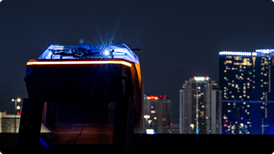
Drone as First Responder in action: Real results.

Smarter response, safer cities: Real results from DFR programs.

Stories from agencies across the country.

Transparency is fundamental to the success of DFR.

Privacy, surveillance, intelligence, and transparency in public safety technology.
Faster, smarter response.
From the moment a 911 call is placed, it can take 5–10 minutes for ground units to arrive, depending on traffic, time of day, and call volume. In those minutes, the crime may no longer be in progress, suspects may flee, and the opportunity for a timely resolution can slip away.
With DFR, that gap closes quickly.
In many deployments, drones are overhead in less than 90 seconds, often before an officer has been assigned to the call. Over the last year, Redmond (WA) Police Department’s DFR program average time to scene with a drone for Priority 1 calls is 88 seconds, 48% faster than the average officer response. And for Priority 2 calls, drones arrive in 1/3rd the time of an officer.

88 seconds
time to get drone deployed and overhead
48%
faster avg. time to scene for drones vs. officers responding to Priority 1 calls
Local communities share their DFR programs at work.

How Kansas City Fire Department uses aerial response to respond to emergencies.

OKCPD and OKCFD team up to save lives with drones.

Bernalillo County Sheriffs Office DFR Program gets real time intelligence before arriving to the call.

LA Police Commission showcases transparency at work.

Minnetonka's Drones as First Responders Program.
