

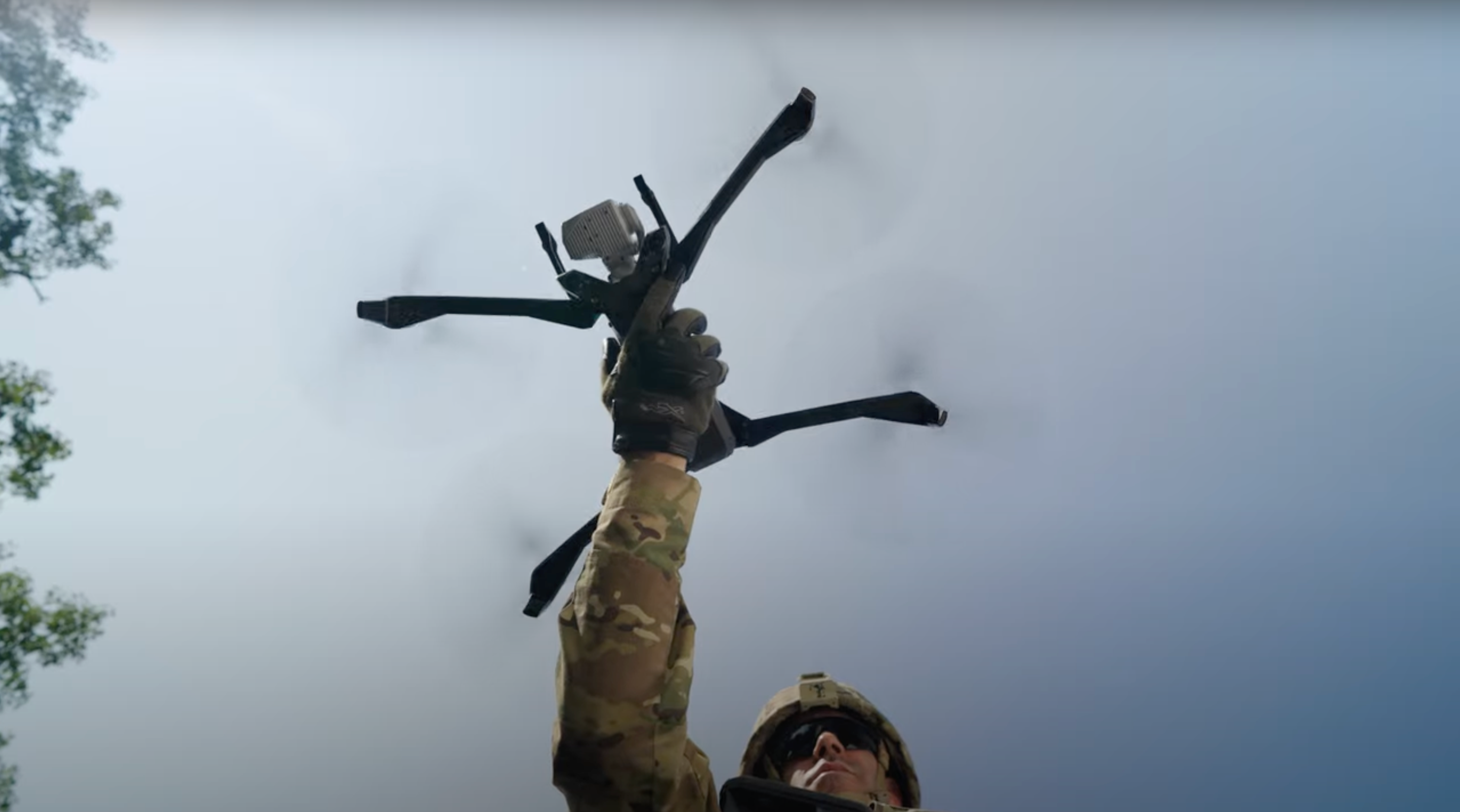
When disaster strikes: Drones to the rescue | Skydio Ascend ’24
As extreme weather events become more frequent, the utility and transportation sectors must adapt to ensure resilient and efficient disaster response. Learn how remote monitoring and automated technologies can improve response times, enhance situational awareness, and improve worker safety during storms. Case studies and real-world examples will demonstrate the significant benefits of remote operations in maintaining service continuity, minimizing damage, and developing pre and post-event assessment strategies.
Learn more about Skydio for Utilities and Asset Inspection for other critical industries.
- Afternoon, everyone. My name is Mike Brubaker.
- I lead our commercial team here at Skydio.
- Um, most of us wake up every day, most of us wake up every
- day with a plan for work. Uh, some of us don't.
- Um, uh, unfortunately, there are a lot of, uh, industries that
- get just ambushed with, uh, bad things that
- happen every single day, and these industries are, um,
- up here on the
- stage with me, all throughout the audience.
- Uh, they typically are the, the industries that keep our civilization
- running,
- right? They deliver power to our homes, they keep the water running, they, uh,
- keep their communities operating efficiently, and they are just
- inundated with different types of incidents and events.
- So today, we're gonna be talking about how these
- organizations, specifically,
- uh, a utility organization and a, uh, a department of transportation, uh,
- use UAV capabilities and our solutions to respond to these
- incidents.
- And I'm thrilled to have a couple of industry professionals with me on my
- left-hand
- side here that are going to talk specifically about how each of their
- organizations
- do that, and let me let them introduce themselves.
- Yeah. Thank you. My name is, uh, Victor Migliori.
- I'm the operations lead for ComEd.
- Uh, we're one of the utility companies under
- the, uh, Exelon,
- uh, brand. And, uh, you know, uh, we're
- using drones every day, right? We have, uh, our
- storm pilots that are on call, uh, anytime we have a storm, and,
- uh, they're ready to fly.
- Uh, thanks for having me here today too. Uh, Ryan Marlow, Alaska DOT.
- Uh, we, uh, we oversee about 150
- operators and aircraft across the state.
- Uh, and when you think of the state of Alaska,
- I always just tell people, "Imagine
- the entire US." We have people spread from Florida to California, all
- the way up to the border. Uh, that's a lot of land to cover with a
- very few amount of people. So for us, UAS has been an absolute game
- changer on the ability to manage such a massive state that's
- constantly changing with climate change.
- So very excited to showcase that here today.
- Awesome. Thank you. Um, this comment here from one of the
- femia- FEMA deputy administrators is pretty timely, um,
- with everything going on back East right now.
- And, uh, it talks a little bit about the proactive
- approach, right?
- We don't just come out of the gate and expect for us to respond to these
- incidents
- without having a plan. So Ryan and Victor are going to talk a little bit
- how they
- are planning today and have been planning for their next
- incident tomorrow.
- Uh, it is no secret storms are increasing in
- frequency and in magnitude. Um, just look at what's going
- on right now. And in fact, over the last, uh, three and a half decades or so,
- they've increased at a, uh, rate of about 13%.
- We prepared this slide several weeks ago when Hurricane Beryl was still on our
- minds as the topic, and that's just not the case today.
- Uh, it is now Hurricane Helene, which is getting ready to slam into the
- Southeast. In fact, many individuals at this conference
- are sort of packing their
- bags early and getting ready to head back to, uh, storm response
- mode, incident response mode, to get back East prior to that storm
- and get boots
- on the ground. Uh, so that has real world impact today with
- people at this
- conference. Um,
- and yes, these storms and other things cause massive amount
- of damage, both on the economic side and on the human side.
- And it's not just storms, right? We talk about incident response, it'd be,
- uh,
- man-made incidents as well. Um, it could be train derailments,
- fires, uh, then there are the other types of things, floods
- and, uh, hurricanes and the, you know, the wildfires.
- Yeah, I mean, w- sometimes, you know, somebody has an accident, crashes
- into a pole, right? Stuff like that. So yeah.
- Yeah, everything from that, to a squirrel-
- Yeah
- ... climbed into a transformer-
- Yeah
- ... to the next hurricane. So, uh, Victor, I'm gonna start with you and hand it off
- to you-
- All right
- ... and I'll let you take us through your
- side.
- Yeah, no, of course. Thank you. Yeah, so, um, as, as Mike said,
- you know, uh, we are constantly having, uh,
- greater storms, and they are affecting
- our utility industry, um, more and more frequently,
- right? Uh, one example is, uh, back in, uh,
- July, right, we had over 20 tornadoes over our ser-
- service territory in Northern Illinois.
- And how do we respond to that, right?
- And, uh, using drones has been incredibly
- helpful. Uh, we have, again, several service
- territories. Uh,
- I can speak for ComEd [chuckles] a little bit more than, than the other, uh,
- utility companies, but, uh, it's a lot of area that we
- have to cover, and I'm sure, uh, a lot of the utility companies face
- that same issue, where it's like, how can we respond
- to a storm event faster, get people out there faster, but
- also let our customers know that, "Hey, we know what's going
- on. Uh, we're working
- to resolve the issue. We're trying to get power back to you as
- quickly and as
- safely as possible"?
- Did you wanna take us through, and the audience, through, um,
- who Exelon is and-
- Yeah. Yeah. So, uh, Exelon is, uh, you know,
- again, one of the largest utility companies in
- the US.
- Uh, we have several different, uh, opcos.
- My background is with Ed. We have, uh, OE, uh, BGE,
- Pepco in Atlantic City district. So think of out of the Northwest
- Corridor going DC to New York.
- Do you want to drive?
- Yeah. Yeah, thank you.
- Okay.
- So, uh, we've had, you know, more frequent and more
- intense storms, and, uh, with that, uh,
- it's been, uh, very, very difficult for
- us to
- be effective in resolving a lot of these storm events
- and a lot of storm issues. So one of the challenges that,
- that we've had is,
- how do we go out and we respond to these
- issues in a, in a quick, in a safe, safe manner, right?
- And as you can see, right, uh, with those greater s- we
- have more dam- more incidents, crews that are out trying to
- find down li- down poles and remote ...
- And it's, it's quite a challenge. And drones have ...
- Really, they've opened up a whole new avenue to
- identifying a lot of these faults
- Uh, we have, obviously, we've worked on establishing
- our, our drone procedures, and we have worked on, uh,
- pretty much setting up a drone emergency response,
- uh, playbook to help us
- identify how do we
- go out and how do we dispatch our, uh, crews,
- how do we dispatch our pilots, how do we, uh, make sure that
- we use drones as effectively a- as possible, right?
- Because there, there are some scenarios where
- using drones are
- better than others, right? So, you know, uh, a team might be able to identify
- an issue using a thermography camera that's on the ground versus
- u- using a drone. So it's, it's all about
- establishing a, uh, good process
- and procedure in order to have our storm response teams
- have, that have drones go to the, the locations that we need to,
- uh, when they need to be there.
- So, uh, the way that we try to establish that
- is with
- what I call a pre- pre-flight checklist.
- So, um, this is BG&E's, uh, but we
- use Microsoft Forms as well. Uh, but we try to
- identify, okay, how are we going to use these drones?
- Where are we going to send them to? And how, you know,
- h- how is it going to, uh, be utilized in the
- most effective way possible? So, uh, as you can see there, right,
- uh, we primarily focus on
- locations that are difficult to get to, that might be a safety hazard for
- our employees, and that might be, you know, something that,
- okay, the drone isn't only gonna save time,
- but it's also gonna be safer.
- Uh, the big four, uh, damage assessment, uh,
- uh, things that we try to tackle, right, are poles down, wires
- down, vegetation, and to reach locations.
- So, uh, poles down, right, uh, again, if it's
- in a location that's, that's difficult to get to,
- super easy to just pop up the
- drone, fly down the feeder, locate where, where that
- is, take a picture of it. Or if you have a live stream, right, be
- showing that live stream feed of, uh, of
- what we're seeing. And of course, my background is in aviation, so
- it's usually a lot better to have expert that's there real time with you, like
- saying, "Okay, this is, you know, this is
- what supplies we need to send out there.
- This is the crew we need to send out there.
- This is, you know, how long it's gonna take them to,
- to get there," and, and get an
- estimate on the turnaround time for resolving, uh, the trouble, right?
- W- w- w- when we were, um, talking ahead of this presentation,
- you were, um,
- e- expressing some of the challenges you have
- with acquiring, uh, more skill set,
- um, you know, skills-based workforce and, uh, you're thinking about the potential
- use of remote operations, the big theme of this conference today.
- How are you guys thinking about how r- that remote-based operation can impact
- the big four damage assessment?
- Yes. So, uh, again, right, uh, the
- skills-based workforce, right? So, uh, a lot of us were having
- issues finding, you know, people that have this, you know, amount of
- experience go out there and do the repairs
- and identify the repairs,
- right? And how do we resolve that, right?
- We still wanna keep our, our workforce.
- We want to make them more effective.
- I think one of the biggest concerns that, that people have a lot of
- times is, oh, drones are gonna, you know, replace, uh, our
- jobs, and, and things like that. But no, it's, uh, it's a lot about trying
- to make, uh, the current workforce that we have more effective.
- And so, uh, we combine not only dock operations,
- right, to go out and try to identify faults,
- but then we
- also
- try to use, uh, uh, artificial intelligence
- and machine learning platforms
- to then go out and, and
- build, you know, confidence and build, uh, a system
- that we can identify faults without having any sort of human
- intervention. So, uh, it is something that we're working towards,
- and it is a long-term goal. Uh, and I know, you know,
- today we're, we're making some big progress in that,
- so it's, uh, it's very
- exciting.
- Some of the other use cases that we have, right, uh, social media,
- uh, again, as I mentioned earlier, uh, are, uh, we
- have people call, right? They're asking, "Okay, my power is
- down," right? "When is it gonna be back up?" Right?
- I have, you know, uh, I, I'm out in the field, uh, doing storm
- response, storm patrols, right? And people are like, "Hey,
- can you fix my power?"
- Right? [laughs] A- and so, and, and doesn't necessarily
- work that way, right? But it... How can we more effectively communicate
- with
- our customers that, uh, you know, we're working on it,
- we're... We have our crews out there, we're being not only efficient, but
- we're being safe, and, and part of that is through social media.
- And, uh, drone imagery goes a long way in
- doing, in, in doing that because you can now see, oh, okay,
- this
- isn't just a branch that fell, you know, on a line, or
- this isn't just one pole that's down, right? It's several poles.
- And so, uh, we, we think that's, that's a way of more
- effectively communicating with our, uh, customers.
- But we're also, you know, for damage assessments, it is very m-
- very, very useful. Again,
- as you can see in that image there, this is somebody's backyard, right?
- And, uh, to go there, right, before, you have to
- potentially walk in an environment that you're not familiar with, right?
- Um, you're potentially going to somebody's
- property that
- may not Want you there, right? And so, uh, it's
- a lot easier to just, you know, go up to somebody's front door,
- knock, say, "Hey, you know, we're gonna, we're gonna fly a drone here, try to
- identify, you know, why you're out of power." And it just, it
- makes things significantly safer.
- And safety is, you know, the biggest aspect of why we use drones.
- When, when I, when I got into this industry several
- years ago, there was, uh, you
- know, a, a response from the consumers and the customers about the use of drones.
- How has the demeanor changed over the years?
- Yeah. It's, it's improved a lot, right?
- And so I remember, uh, myself as well, right?
- Uh, 10 years ago and, and we would have, uh,
- these, these open discussions with the
- communities about, uh, going out and
- utilizing drones for, for different use cases.
- And people are like, "Oh, you know, first drone I see,
- I'm gonna try to shoot it
- down," right? And, [laughs] uh, thankfully that's, that's improved a
- lot, right? And people, y- you know, if they see us in
- uniform or they see us with our high vis vests, hard
- hat on, right? Uh, saying, "Hey, you know, we're gonna go out there
- and, you know, we're, we're trying to actually help.
- We're not trying to,
- uh, look in your house or things like that." And so, uh,
- I, I, and I think maybe it's not just a, a,
- a time thing, but I think people are u- seeing the different
- potential use cases of, uh, drones.
- And so when they see that, "Okay, this is actually trying to
- help my situation, not, not make things worse for me," I think
- that helps out a
- lot as well.
- Yeah, that's great.
- Uh, again, we also use, uh, uh, our drones for
- post-storm feeder patrols. So, uh, we have specifically at
- ComEd, uh, about 50% of our pilots are part of
- the reliability, uh, inspection team.
- So they will go out there and they will do their post-storm,
- uh, patrols, making sure that, okay, there's no, you know,
- high priority faults that need to be taken care of.
- And then, uh, during the storm, we'll also do, uh,
- staging, right? And we'll either do mapping
- or what at C- what we do at ComEd a lot of the times
- is a live...
- So, you know, they're getting ready to stage
- trucks at, you know, a shopping mall or at a, at a
- garage, and so do we
- share that information with our, uh, OCC or our, our
- command center, right? And we've noticed that a way of really
- effectively doing that, right? Is just, okay, I'll go out
- there,
- launch the drone, start a live stream, and there,
- it's there, right? There, uh, you know, if somebody has a question, I'm on the
- field, I'm, I'm out in the field, they can just talk to me as if I
- were there with them, and they can see in real time what I'm
- seeing, and providing feedback on, you know, like, "Hey, you know,
- uh, can you, uh, fly over this area?" Or,
- "We need more room for more vehicles," things like that.
- I think it's, uh, maybe hard to comprehend the kind of
- impact you
- can have when you're staging literally, you know, dozens or hundreds of
- trucks, for example, coming into a response territory.
- Can you like just try to relay the impact of that upon your organization and the
- public-
- Yeah
- ... and how drones could help that?
- Yeah. Yeah, exactly. And, and it's, it's, uh, quite a lot of
- vehicles and staging them, uh, it, it's quite
- a... It, it's not something that you just do right then and there,
- right?
- We plan for this stuff months or even years ahead of
- time, right? The best staging locations for if there
- is an
- incident over in this area or if there's an incident, you know,
- on our northern
- region at ComEd, or if there's an incident in the west region.
- And so we try to work with, uh, the communities as well
- for staging the, uh, the vehicles during a
- storm event. Uh, however, right, maybe there's some information
- that we didn't know or they, we weren't familiar with.
- And so having a drone pilot that can go out there and
- broadcast this information is extremely useful.
- So we still use, uh, our traditional damage as-
- assessment methods,
- uh, as well, uh, alongside with using drones,
- right? Uh, it's not something that's 100% one or
- 100% the other. Uh, we do leave that for our,
- uh, UAS pilots to, uh, try to decide on their
- own, right? If
- maybe it's better to just take the drone up, take a quick picture, come back down,
- or maybe, uh, you know, on a lot of our damage assessors'
- vehicles, they'll have a PTZ camera that they can just
- point. You can see there, uh, it looks like that insulator's fallen
- off of the cross arm, right? Okay. That might be something
- that I don't necessarily need a drone for, right?
- But then we also are trying to integrate,
- uh, automation more and trying to, uh,
- use that alongside our traditional methods, uh,
- for identifying faults. So, uh, again,
- we're kind of stage
- one to two, right? We started doing one-to-one
- operations. Uh, we're hoping, you know, now with the
- X10 Dock to get to, uh, one to many, to where we
- have one operator in a command center
- operating multiple drones at the same time.
- And ultimately, we do wanna have, you know, uh, uh, the
- goal of having a drone go out
- anytime we have a storm, right? Identify based off the data that we have,
- what feeder we need to go to, and go ahead and just automatically do a
- scan without needing
- a pilot there at all, right?
- Could you maybe, uh, talk a little bit about how your orga-
- organization is looking
- to then take that data, process it in AI, and specifically
- use AI for, um, anomaly detections-
- Yeah
- ... for damage assessment?
- Yeah. So, um, it's, uh, definitely something that
- we're working towards. Uh, we are using, uh, software right
- now to, uh, build and train to
- identify these faults, right? Uh, I think there's a couple things that
- we're really focused on, so cross arms, uh,
- conductors, the top- tops of poles.
- And we're trying to train our machine learning, uh, software
- on that data, feeding it more images so we can build,
- you know, the
- confidence to where, okay, y- you know, uh,
- some cases, yeah, you'll still need to have a human look at
- that
- image and say, "Okay, yeah, that's a broken cross arm." But
- a lot of that work can be identified by machine learning
- software or, you know, it might even identify something
- before we can even get somebody out there, and that's- that's really where
- it helps with a lot of the preventative maintenance and a lot of,
- uh, uh, m- making sure that we're resilient as a utility
- company, making sure that, you know, we have
- the best preparation possible before there's even a storm.
- Yeah. That's, like, the get back up fast-
- Yeah
- ... that Adam was talking about earlier.
- Yep, exactly. So as you can see here for, uh, BG&E, right,
- uh, we've identified, uh, our substations and where in the future we
- would like to, uh, set up our drone docks.
- And you can see it covers, uh, 80% of their,
- uh, service territory. So it's something
- that with the beyond visual line of
- sight waiver and with the drone docks, we could, not
- just only storm response, right? Tons of different things.
- Um,
- o- one that we focus o- a lot at ComEd is substation inspections, which again we
- talked about earlier, uh, this morning.
- But it's- it's definitely, it's a game changer in that aspect, and we
- hope that
- not only with the new technology, right, but with the changing regulatory
- environment, we can then go out and we can
- have these docks, improve our safety, and improve our reliability.
- So with BG&E, they've talked about, uh, the 80% number.
- That figure changes a little bit as you go into your service territory
- specifically.
- Yes.
- Not quite as high just due to longer feeders.
- So as the geography changes and the assets change, that gets
- impacted.
- Yes, that is correct. So, you know, uh, again, right, uh,
- it's a new technology, right? But also the regulatory environment,
- we might be limited in, in the distance that we can fly.
- And so, uh, again, yeah, the distance between the substations
- might be greater than the distance that we're allowed to fly
- or that the drone is capable to. And so that's why we're closer to
- approximately 60% for, uh,
- if we had a drone dock installed.
- How do we get you to 80%? Like, what's the magic number-
- Um, you know-
- ... for distance?
- Yeah, exactly. I mean, you know, uh, we, uh, you know,
- maybe fixed wing. Who knows, right?
- [laughs]
- We, we, we gotta test it out. Dock, uh, X100, right?
- [laughs]
- Yeah.
- Okay.
- [laughs] So we'll see.
- Next, next year.
- Yeah, yeah. Next year. Next year.
- Next ascent.
- Yeah.
- Um, and then as well, so we, we talked a little bit about, uh,
- how the traditional damage assessment works, but with the
- drone-in-a-box damage assessment, right, it's the same, uh,
- uh, steps, but now we're using the drone-in-a-box,
- right? And so we're going out there, but fully autonomously
- trying to identify, uh, the fault, assess
- it, and then have the machine learning
- software
- then give a priority to that fault, like when does it need to be repaired,
- and then send out our truck rolls and send out our crews.
- Awesome.
- All right.
- Um, Victor, thank you-
- Yes
- ... so much. That's super helpful.
- Uh, we look forward to, to, uh, rolling those out and, and getting to, uh-
- Yeah
- ... a better state for you guys here.
- Yeah, of course. Thank you.
- Brian?
- Where do I start? Uh-
- [laughs]
- ... natural disasters.
- Yeah.
- Uh, you saw during today's keynote, if you guys watching it, uh, where we're
- deploying drones at, uh, all across Alaska.
- Uh, we have had our fair share of disasters.
- I think since our UAS program, we've responded to 16
- large scale disasters. That's earthquake, erosions, avalanche coming down
- through neighborhoods, landslides here lately.
- And so really a lot of this technology, uh, you know, we're
- taking multiple pieces of technology out there, but they're finally all
- complementing each other. You know, we're, we're out there with Starlink, and we're
- able to live stream from places that we've never had, you know, let
- alone a two meg connection, but broadband connectivity.
- So, uh, what we're looking at is, is the ability to scale
- remote operations, the ability to share that load.
- I talked earlier about we don't have enough staff to be everywhere at once,
- but we do have enough technology. And so if that technology can be
- pre-pushed out there, the ability for us to log in and remotely,
- remotely scan, remotely operate, share that load to collect that data,
- that is the key item that we've been working towards, and it's,
- it's been
- successful. The X10 platform, as part of the, the USDOT SMART
- grant, which ours is the Arrow project, uh, we've found tremendous
- growth and, and are ready to scale that model going forward.
- So, uh, we call it our 172 rule, which is basically
- whatever you can fit into the back of a Cessna 172 is what's going with you.
- And so now that systems are getting smaller, we can bring
- a survey kit, uh, an 10, a Starlink panel, and one
- person can do the job that it used to take a team of 10.
- So that is really changing. And, and as we look at docks too, reducing
- our carbon footprint, a lot of our operations,
- if we're going out to the
- Aleutians to go do mapping missions, you know, that's, that's a 16 to
- $20,000 flight to charter that jet, get them there.
- So we're really excited to see where scaling and, and having
- these systems on standby really make that difference, so.
- Yeah, yeah, and I was fascinated to hear, like, that you're putting it into the
- hands of your communities in these remote locations, and they're doing the flying,
- or they're powering it on with remote flight deck, and you guys are flying,
- correct?
- Yeah. So we've been working with, uh, tribal, a lot of tribal.
- So Skydio has been coming out and will train the community.
- Uh, we've been partnering with Esri to do a
- lot of the back-end processing.
- But really just showing is you don't have to have the knowledge
- that's shared.
- You know? Everything is going to the cloud. We're processing.
- We're really allowing for this to kind of ebb and flow depending on the needs.
- So, uh, that has made a big difference as far as
- that scalability is it doesn't...
- Not everybody needs to have a fancy, you know, processing laptop
- when it can just
- be done in the cloud. You can continue on, jump back on your snow machine or your
- four-wheeler boat, and head back to the office, and
- that data is finished when you
- get there. So if that is, you know, something that didn't exist a year ago
- is now
- normal routine for a majority of our operations.
- Uh, avalanche, dock-based monitoring.
- Uh, I'm sure you guys have seen, uh, triggering, but this is really
- where we're head, is the ability for, um,
- event-triggered and remote monitoring.
- Uh, the ability for dock-based operations, terrain mapping,
- really for us is the game changer of allowing for
- mitigation, allowing for us to see just how much snow
- volume we have in a
- lot of these places. With a lot of the inbound AI
- and snow depth
- modeling, we can even see a run-out model of, hey,
- there's a
- 90% chance that we have enough volume that'll hit the roadway.
- So now it's alerting, like, earlier saying, "Hey, heads up, there,
- you know,
- avalanche, don't stop in these avalanche zones,"
- or we'll go ahead and mitigate
- pre-storm so that way we know that the potential isn't there.
- All of these things, those analytics of having these th- these,
- these
- systems available are really changing and I,
- I've been working on this for a while,
- but think of it as like an office printer.
- You know, everybody has access to it in the office.
- You send it the craziest things to print, and it just takes care of it.
- That is what we're seeing with docks is these missions within the
- bowl or that, you know, that, that defined area are allowing for
- us to capture that low-hanging fruit data, not just whenever you need it,
- but daily, twice daily. That type change detection as far
- as avalanche mitigation, monitoring, but not only that, but did somebody
- get blown into the water? Uh, you know, how do we respond to that?
- We've been seeing a lot of groups work towards that drone as a first responder
- and
- seeing the, the live demo today, that is exactly what these four...
- or are for, is how do we respond to make sure
- everybody okay, but
- documenting it moving forward?
- Do, do you all feel that you've been able to avoid a tragedy
- as
- a result of, with this particular use case by getting
- out and about?
- Uh, it's changing... Well, what we've learned with avalanche
- has directly applied to our ability to respond to landslides.
- Uh, same immaterial-
- Yeah
- ... just different season. So, uh, that, everything that we've been
- doing building up to this ability to operate in these harsh climates has
- allowed
- for us to operate in torrential down- But being able to say with certain
- f- you know, fact, that sl- that slope is stable, uh, and we've never set
- foot on it. That's an, an imp- an incredible use of
- this technology that you're, you're, you're, you're passing
- that on to the public
- and saying, "Hey, these areas are okay.
- We need to watch out for these areas." So that's really where a lot of these tools
- are just doing the purpose, is keeping folks out of harm's way.
- In, in the past, you would have sent somebody out there
- climbing.
- [laughs]
- Survey... Yeah, we'd have a survey team of 20 out there-
- That's crazy
- ... figuring out if it's stable. In, in the rain, it's, like,
- communication-based, so... And most importantly, remotely. Uh,
- we've...
- A lot of these sites, we've been logging into over 2,000 miles
- away-
- Yeah
- ... and being able to operate these systems
- daily and capture that data,
- and it's automatically uploaded, processed, and ready for us in hours.
- And the financial impact of that is?
- Oh, uh, we, we... Rough numbers right now, but I talked about that earlier.
- A couple of these sites, when you think of a plane ticket for most
- folks, you know,
- it's a couple hundred dollars. For us, most places, it's $800, even out to the
- Aleutians, a couple thousand. But if we're traveling with hazmat batteries,
- now
- we're chartering a private jet, uh, so that starts to jack up pretty high.
- Yeah.
- That carbon footprint as well. That's really what we're seeing,
- is the ability for
- us to have these systems is reducing a massive carbon footprint
- for us as far as operation, because we have the technology
- and the remote
- sensing tech installed. So...
- Yeah.
- Cool. Uh, speaking of technology, I love to make
- diagrams. So if you've ever with me, uh, I love to share just h- how does
- this work? You know, you see the dock on stage, but
- is it turnkey?
- Yeah, sor- sort of say. Uh, but this, what we've created, not only on
- the security side, but the ability to scale this.
- You know, the dock requires a weather station.
- Uh, the dock requires security. We've used Ring cameras.
- We've used all these different items. You know, how do you see...
- I, I think I get alerts, you know, actually I got an alert last night.
- There was a deer at one of our sites, uh, you know, a human acted, and so sure
- enough. But all of this stuff tied together
- is what makes that
- operational, uh, response capability there.
- We, we've been focusing really, really a lot of this technology has been
- dependent on low Earth orbit technology, so the ability to now
- have broadband communications anywhere.
- So
- we purp- repurposing a lot of signaling, signal cabinets and using
- Starlink. We've been testing out some of the VHF
- rebroadcast. But how do you install a thing
- that you need to operate there
- without being there? So that's been a really cool item, is
- if we're
- operating at some of these landslides, we can talk to air traffic, we can
- broadcast we're operating, we can repeat that.
- Um, the ability to watch for ADSB. So all of these things that we're
- learning by installing these across the state.
- The other big one is security, IoT security.
- How do you operate that system remotely across space laser?
- How do you keep that, that item encrypted? How do you do that?
- And so that's been a big fo- focus on our point, is as we start to
- scale these technologies, you have to think of it as like a good old
- LAN party
- days, is how are we gonna connect all these as
- fast as possible, have
- prioritized video streams, and how do we process that data, uh,
- and get
- it to the cloud, and get it to the end user in a record
- time? So...
- You've done a ton of yeoman's work on, you know, building all of this out.
- Like, if, if somebody in the audience who's taking a
- step towards this for the
- first time, what's the one thing that you're gonna direct them to right
- now, first
- and foremost?
- Reliable power. Uh, we'll just start with that.
- If you don't have power or you don't have the ability to make
- power, I know the
- California folks, you have beautiful sunshine.
- We're not as privy to that.
- [laughs]
- So, uh, solar. I know, you know, Caltrans is working on,
- uh, uh, off-grid docks and solar powered docks.
- I think Velocity is here as well with some of their docks, so-
- Nice plug for the-
- Yeah
- ... indoor-
- Yeah, yeah.
- Outside. You can take a look at the box outside.
- So really it's just like, that's really what you're looking for.
- Uh, second item, communications.
- For us-
- Yeah
- ... you know, we've never had access to fiber.
- A lot of these things off grid, so to have this now
- technology, not just one, but we've been starting to experiment with
- bonding,
- uh, of these. Just like you can bond LTE, you can bond Starlink panels for,
- for higher throughput. So really overall, we're recycling these technologies
- that are available and making them useful for us in the
- field, so...
- Thank you.
- Uh, and then of course, the data products.
- This is my favorite part with a lot of this, is how do we tell that story?
- How do ... You know, that investment of that dock
- that we've now installed in the
- field, what does that give you? On the left here, the, the snow
- distribution maps for avalanche data.
- That is a key item so that we can either do, uh,
- drone mitigation,
- uh, where we're dropping explosives, heli- or even howitzer mitigation.
- All of which, that's a pretty precision map of we should
- target
- the upper, uh, cornice so that it drops down
- and hits everything else.
- The middle picture, uh, we're talking about landslide.
- We showed up at a place where we had zero connectivity.
- We didn't have any GIS data. We didn't know what houses were affected.
- But we're building all of these things live in the field because we're saying,
- "Hey, here's the area. We need to know roadway information,
- all structure
- information. We need lots. We need to know who's prop-
- what." That's where that
- teaming and this live situational, as we're putting
- that imagery into the flight
- deck, putting that imagery onto the ...
- So everybody has that information all the time.
- That's where all this is coming together. And then back to production.
- The ability for daily as-builts. You wake up in the morning
- and the project's
- scanned. Why did that contractor charge us for sidewalks
- that aren't installed yet?
- That's a visual representation of something that normally we wouldn't
- catch until we'd already billed for it.
- So all of these things that are based off of imagery, and all these
- analytics, can now be done with these remote sites.
- And then data workflows. This is a big item. Once again,
- another one of my charts.
- Uh, but this is how automated data works.
- We've been focusing really hard on when I press go on that
- dock, what does that mean? That means that I expect that dock to not only
- operate remotely, but operate that mission plan, to capture the
- imagery at the ground sampling distance I've preset, to then
- dock and start uploading, call out to SiteScan, where
- we use Esri quite a bit, and then basically transfer
- that information up
- to SiteScan and start that processing.
- Now, for multiple sites, which is really where dock pays off, if we're
- flying every day or morning and PM, now we can
- start seeing rapid change detection.
- So if we're able to see, hey, the river's moving at this speed,
- we're losing 20
- feet of, of shoreline at, you know, at this. Perfect.
- Order eight more trucks to start bringing in material.
- That type of information, and especially with this, uh,
- the Dalton Highway,
- our teams at the SEOC had better information than the contractors
- in the field, and we were sending vehicles.
- They're like, "We didn't order these." And we're like, "Well, yes,
- but we could see
- that you needed them." That's a crazy change of pace, where we
- had just got Starlink like couple days before this happened, and
- so we were like, "Stick it out there and see what happens."
- And it just happened to
- that- have everything that we needed.
- Even on the live streaming, where we're, we're live streaming, we're talking about
- the event, and somebody pipes up and they're like,
- "Where'd you get this video
- from?" And we're like, "Well, we're live streaming it live from the
- field." And you
- could just hear the pause in their voice of, "Oh, I guess that's normal now." So,
- you know, some place that has been offline for- forever is now
- accessible, and that information can be shared
- immediately.
- Uh, and documentation, even with window surveys, with FEMA,
- we're not
- collecting data and sending it to them.
- They are
- in, you know, on the Teams meetings. They're in the field.
- They're watching this live, and we're all making these decisions
- together.
- Which is a huge business problem in and of itself to pull all of
- that together, and
- you're ... I think you're gonna talk-
- Yeah
- ... a little bit about that.
- Absolutely. So, and when we're looking at this data,
- the big item for us is how do we collect this data
- as a structured environment, as, as a team, and have it all
- flow? So as we're collecting the imagery, as we're conducting, we're showing up,
- we're following under incident command system.
- All of that is being, even all the way down to the resource
- request
- from the community, we already have a lot of these pre-built
- so that we're just
- filling in the information and submitting that for FEMA for
- reimbursement.
- So that's a key item. You talked a lot about pre-planning,
- you know, pre-staging
- assets, pre-staging technologies, pre-filling out all these forms so that
- when I'm long gone, somebody else can just say, "Oh,
- populate it in." So,
- and same with docks too, is we currently have it as
- if we know there's a
- landslide or some disaster, it's getting a dock,
- it's getting a Starlink panel,
- it's getting a radio. It's already pre-written.
- We know the costs for it, and that is getting dispatched immediately.
- So those are the key items of once you build that tie-in, and once you build
- that workflow, super crucial to tie those things
- together.
- And, and prior to a drone program, w- how did you do that?
- [laughs] Uh, you misfilled out your
- paperwork and you didn't get reimbursed.
- [laughs]
- That's what happened. So when we're looking at cost effectiveness,
- we're
- fixing a lot of error, the human error factor in that.
- Yeah.
- And it's like there are a lot of states that, I mean,
- you have to eat those costs.
- So we're fixing that gap with
- data that we've never been able to capture before.
- Yeah, that's awesome.
- I don't know.
- Yeah. Yeah, uh, I have
- one final question for the both of you, and then I think we'll open it up to
- questions from the audience. Um, three years out, five years out,
- what is like one problem that you are really hopeful that you can
- solve with remote-based operations? Victor, why don't you take that first?
- Yeah. No. So, um, uh, definitely, uh,
- being able to identify faults and, and identify,
- uh, hazards as, as quickly and as efficiently as possible, right?
- So the, the one program that I dedicate a lot of, uh, my time to,
- not related 100% to s- to storm response, but is, uh, uh,
- a substation inspections using the dock, right?
- And so, uh, our goal is to have one
- dock per substation in the future.
- But not only will that help with just substation
- inspections,
- but just a, a lot of, uh, data collection and, and
- data that we can use for things that maybe we're not even
- 100% sure that you needed data for before, right?
- Uh, and so, uh, things from
- Uh, you know, uh, uh, identifying,
- uh, fence line security that we talked earlier, to,
- uh, again, looking at snowplow routes, or
- looking for, uh, uh, looking f-
- for, like, construction in the substation,
- construction nearby to where our property is, things
- like that. So...
- Oh, I gotta choose my favorite one.
- So, uh-
- Just one.
- Yeah, one.
- [laughs]
- Um, installation of docks on our critical
- assets. Uh, and what I mean by that is, you know, Alaska's split into
- aviation, highways, and marine ferry terminals, so docks
- that sit
- on airports that can collect, you know, and, and, and document
- that schema and say, "Hey, something's out of, out of line,"
- or docks that sit on
- our ferry, uh, and inspect that ferry, either in transit
- or inspect port of call. Really looking at these things
- holistically,
- but not just DOT having access, having the entire state and, and
- multiple agencies have access. So that's really where we see this back to
- my
- office printer concept. Anybody in Texas should be able to
- print, you know, and use these docks in Alaska.
- That, that back and forth and from what I've seen, you know,
- even today, it's like,
- it's here. It's like we're, we're getting ready to see the shared use
- of,
- we can have assistance from anybody in the world and have that
- information immediately, so.
- I feel like other state governments should look to Alaska as a North Star for some
- of the-
- [laughs]
- ... technology you guys are deploying.
- The, the incredible-
- Thank you
- ... uh, uh, use of y- your drone program, Ryan. Thank you much.
- Uh, I'm gonna open it up to questions from the
- audience, and Tommy will pass
- the microphone around for us.
- Yeah, hi. Thanks for that, and wonderful presentations.
- Two questions. First, I, I wanna get a feeling from you
- about what are, what kind of sensing devices
- are being developed?
- We see a lot of visual images, 'cause we're very visual animals,
- but what about other kinds of sensing, beyond the
- electromagnetic spectrum that we see, but other perception
- devices that would be good for evaluating electrical
- faults or, or avalanches or other problems?
- That, that's my first question, and my, my second question, um,
- has to do with actual intervention.
- I mean, how much are you using drones?
- I heard you mention s- using explosive to set off avalanches,
- but clearly can you use drones to intervene?
- So you identify a potential fault, can you use
- drones to go into remote places that are really hard for
- people to get to, and use the drone to actually
- cut a tree limb or, or fix a device? So
- I'd like to hear you opine on both of those.
- I guess I'll take the first shot at it.
- Uh,
- first item is IoT sensors. You know, I view drone
- as another IoT device. It's collecting data, we're looking at it,
- but we're also seeing, uh, sensor-based technologies,
- hydrophones. Uh, in Alaska, we have our shake alert system.
- We have a lot of these systems that are out there, in many cases legacy
- systems, that when you're saying, "Hey, what triggers this event?" We're
- taking those items and say, "Hey, if this happens, or an earthquake is
- detected here, pop the dock up and go take a look at stuff.
- Start c- collecting that data." Um, on the avalanche side,
- we've started installing hydrophones, uh, that vibrate when that much
- snow mass is moving, which is an early indication
- that the avalanche is
- happening real time. That then would trigger the dock
- operations and
- allow for us to respond, or al- at least alert the public, "Hey, an
- avalanche has occurred at this location.
- Heads up, secondary and third ones are inbound." So that's really where we
- see
- IoT devices. I don't know too much on the Skydio side
- as far as
- what's being integrated more on board the platform, but a lot of this environment
- around on the outside is what's adding to those event triggers,
- what's accompany that weather-based...
- You know, we're, we're starting to see virtual, uh,
- AWOS stations get
- installed. Instead of having, you know, these only sites at the
- airport, people are starting to dispatch them where
- we have these micro climates.
- So really, the Internet of Things and tying all these things together are
- allowing us to have that better picture of what's actually
- happening out there,
- which is really all we're doing, is just trying to figure out what's
- happening so
- that we can make those informed decisions.
- So, uh, what was your second question?
- The second question, um-
- The sensors
- ... after you-
- Sensors
- ...
- uh, what you do to intervene, could you fly in during a
- storm and cut a branch that you can see is whacking-
- Got it
- ... something, or could you-
- Pass that back over
- Yeah
- ... a drone system, a physical repair system,
- with delivering things that people can't easily get to be
- able to do these things?
- Yes, that, that's a great question.
- I'll, I'll answer that, that part, and then I'll go into the different sensor
- packages. So we, we're looking at several different things,
- right?
- One of the project, one of the projects
- that Exelon has worked on is
- installing bird diverters on our transmission lines.
- So believe it or not, you know, birds, yes, they've been flying,
- you know, all over the Earth for millions of years,
- but there's this thing
- that's come into existence in the last 100 years that they're not familiar with,
- and it's a huge environmental i- issue, right?
- Because the, the bird, they might, may or may not see that transmission line,
- and then that can, uh, affect endangered species, but also,
- you know, having birds on our conductors,
- uh, that's not good either, right?
- And so, uh, we've worked on installing these bird
- diverters, and all it is is the
- yellow reflector that's the size of, like, uh, a dinner plate, right?
- And that's enough for the bird to be like, "Oh,
- there's something there," right?
- And they'll fly around our, our transmission lines.
- But we're also working on, uh, you know, pilot programs
- to potentially use drones for lubrication of our
- switches, right? Or using, uh,
- drones for, uh, uh, pulling like a P line,
- where, okay, we gotta get this, uh- ...
- conductor across this lake or across this river.
- Well, you know, before you'd have to either go on a boat
- or on a barge.
- But if you can go ahead and send a feeder line first,
- well, then you can just use that to then tow the conductor
- right behind it. So, um, that is, you know, ton- tons of
- different ... Again, like I said, you know, there's probably ideas out there
- that I know I haven't thought of, maybe somebody else has thought of, and,
- you
- know, it's just ano- that, that we need to work on.
- And on the, uh, and on the sensor side of things, right,
- I,
- I like what you said as well about, uh, the part of the
- electromagnetic spectrum that, that we can't see, right?
- And that's how we try to y- uh, identify
- the best sensors for our different programs.
- So, uh, one of the ones that, you know, um,
- uh, I would say, you know, would be really nice, again, future asks,
- uh, a LiDAR, right? Our vegetation management team.
- Uh, LiDAR is great at penetrating through
- vegetation,
- whereas, uh, you know, the 3D scan that Skydio offers is great, but
- that's one of the faults there. So having a compact
- drone that has LiDAR, right, it's, it would be a great, good to have.
- And, and again, you know, with the autonomy that, uh, Skydio
- drones have built in,
- it would just make the training side of things a lot more,
- uh, uh, faster and also, uh, more fit
- for, for our pilots.
- Thank you.
- Yeah.
- LiDAR uses a lot of energy, though.
- [laughs]
- Yeah, it's very intense.
- Any other questions from audience?
- Hey, Ryan. Thanks for, uh, th- the presentation.
- Um,
- you know, noticed on your,
- uh, diagram showing how you're taking the data
- and bringing it into the Esri
- ArcGIS Enterprise and, and similar environments.
- Any, um, lessons learned or best practices that you've found,
- um?
- Uh, as far as lessons learned, uh, be ready.
- Be ready to have a, you fail a lot. Um, you know, it's
- just like, especially when you're coming into
- that environment of a stack solution.
- Uh, but Esri's been amazing. You know, we've, we've seen some incredible items.
- I know the video server ... Yeah, I'll pitch them.
- The video server team is here today, too.
- Um, but that, of course, has brought us into another world of, hey,
- we have
- imagery pretty taken care of. It's processed. It's ...
- We're able to access it. It dumps into a repository.
- It's available to the public. We can source it back into our maps.
- Now we're looking at video. You know, how do you bring video into an enterprise
- environment? How do you split it out to full motion
- video?
- How do you tie those things together?
- So building on that ecosystem and making it, you know, streaming
- and, and bringing in that, that, that next data source.
- I think as far as, you know, our lessons learned
- is there's sometimes that there's
- not a solution on the wall, but once you have that idea, it's like ...
- That was one of our bigger items as we scaled so fast as an organization,
- that our IT guys absolutely hated us because every drive was
- redlining, and they're like, "You have to figure this out." So going
- off network
- and allowing that to upload directly to the cloud, a- as I mentioned with
- Starlink, that has been a major, uh, relief
- saver on a lot of our, not only our network speeds,
- but our ability to
- get data out and share it as fast as possible.
- So looking at it on that side, the, the shareability and the ease of
- use, um, and, and even the tie-in with other m-
- you know, other
- processing engines as well, we've seen that across the, um,
- uh, Skydio cloud environment of just all of
- these groups are building tie-ins.
- I know Pix, uh, or GenX and, and we're, we're processing with
- Pix. All, all of those things giving us
- that same data set.
- We wanna make sure it's available to the cloud at the end of it.
- Thank you.
- I, uh, thank you to the entire panel.
- I think this question's probably more directed towards Emmy Award winner Ryan
- Marlow.
- [laughs]
- Uh, when it comes to ... Right, you mentioned that, you know,
- for certain types of
- events, they get Starlink, dock, gets deployed.
- Is there a, like a quantitative kind of matrix
- that you use to
- determine is it magnitude of damage?
- Is it time expected for cleanup of this one gets a dock, this one
- just gets routine normal flights?
- Great question. Uh, this is an interesting one on the DOT side
- is I always try to
- tell, we are not first responders. Uh, but we are ...
- Because we have this technology, we're coming into this environment to tell
- a
- story. Uh, a lot of these landslides, we're showing up to these places
- as the first one, and normally are switching from, all right,
- let's get video, let's figure out what happened, uh,
- if we're assisting with
- victims or, or
- a- any issue there, it's how do you switch from that to then,
- as you'd
- mentioned, long-term data collection.
- Uh, so that's a hard mindset to jump into.
- But I will say util- utilizing ICS for those
- groups that do not utilize incident command system, that is a crucial
- element of there that you plug into.
- You show up on scene and basically step in and you're like,
- "All right, well, we're
- here to do this. After this gets taken care of,
- now data collection." So,
- um, that I would say has been the best lesson
- learned is make sure you have,
- uh, an ICS system enabled if you are responding as a large scale
- agency. Uh, and it definitely takes care of a lot of
- those items.
- Or if you're a single individual out there, uh, it helps with the
- documentation process to make sure you're just not trying to take care of
- everything at once, 'cause it doesn't do anybody any good, so.
- Thank you for the excellent questions.
- Um, we're gonna wrap up with a couple from our
- virtual audience.
- So we've had this streamed virtually and had some questions come in.
- So, uh, one of the questions was, for FEMA claims, is there a business
- case to perform disaster critical infrastructure missions so that
- you have before and after data?
- [laughs] I guess this is me again.
- [laughs]
- Uh, I wish we could say that we could do,
- um ... And I guess reading that question, like going out and collecting information
- before a disaster?
- Um, we have, do not have that luxury in a lot of the state.
- I wish I could decide where earthquakes are gonna happen at.
- But, uh, for the most part, we're responding to events
- that are near communities where there are loss of life and the items, like,
- on that side. So as we're looking at this moving
- forward, it's really
- critical to be able to tell that story.
- You know, the pre-post damage assessment, that endo survey, uh,
- is incredibly important to be able to conduct that
- correctly and capture that data so that you can showcase, "Hey, what are we
- looking at? How does this change? How does the team move forward?" So
- hopefully
- that answered the question you're looking for.
- I, I, I think I can answer at least from one
- industry perspective, and that is, uh,
- the utility industry. Uh, it is absolutely critical for them to have
- records of what infrastructure looked like prior to a storm when it comes to
- recovery costs. So at least from that, um, industry's angle,
- yes, the answer is yes.
- And if you don't mind going back one slide,
- I think you can show the actual FEMA
- policy as of 2020.
- Yeah, one-
- Or two slides. I'm sorry
- ... one more slide. There we go.
- Great. And then I think this question is for Victor.
- Um, has ComEd management been supportive of
- the ecosystem initiatives?
- What challenges are you experiencing management to buy into large scale
- adoption?
- Yeah. So that, that's, that's a great question, right?
- Uh, drones, even though they've, they've been around for a while, still,
- uh,
- a new technology, right? And, and, and to
- get buy-in, it's, it's a lot about showing
- what the future could be, right? And what
- drones can, can solve that we're currently having issues
- with. And, and there's a lot of things that are, uh,
- again, right,
- storms, that we're having more of them and they're more
- intense. And, uh, again, like I was saying, w- the
- skill f- the workforce that we have, they're great, they're very skilled,
- but it's becoming more and more
- overwhelming if we don't grow our workforce, which
- we aren't. And so with that, we gotta, we have
- to find some other way, right? And, and automation,
- that helps, but also, uh, i- uh,
- showing that,
- you know, hey, instead of
- trying to get somebody that has no background in this, right,
- and trying to train them versus, okay, we already
- have the best people that we need, they're
- already working in, in our company, they just need a, a
- better tool, right? Or they need a tool
- that can help them identify
- issues, identify faults, help with the storm damage
- assessments. That's how we're working on
- convincing our, our management and our, and our leadership team
- to, uh, uh, utilize drones. And so...
- And it is something, you know, it's not a, it's not an easy road.
- I, I know I see a lot of familiar faces here
- that work in the
- utility industry. Uh, we actually, we were all at a, at a conference
- a couple of days ago talking about the, these same challenges and,
- you know, it's, uh, y- y- y- y- you know, I, I hate
- to put things on like a black or white, but it's either the
- people that are pro-drone, right?
- They see the, the future of it, whereas maybe the people that
- are anti-drone
- see this as maybe a- an additional expense
- that they could avoid,
- right? And it's just trying to convince
- that one side like, "Hey, yes,
- this is a greater expense, but would you rather, you know, work on
- this or, you know, have,
- um, you know,
- customers that are upset because they had to wait days to have,
- you know, power back home?" So, yeah.
- Okay, I think we are out of time. Uh-
- Great
- ... Victor, Ryan, thank you so much for-
- Thank you
- ... both being, uh, innovators in your respective fields and,
- uh, for your time and
- the presentation.
- Thank you.
- Thank you. [clapping]
Watch Time
54 Mins 21 Secs
Related Webinars
Why Every Utility Will Have a Drone Fleet Sooner Than You Think
Watch webinar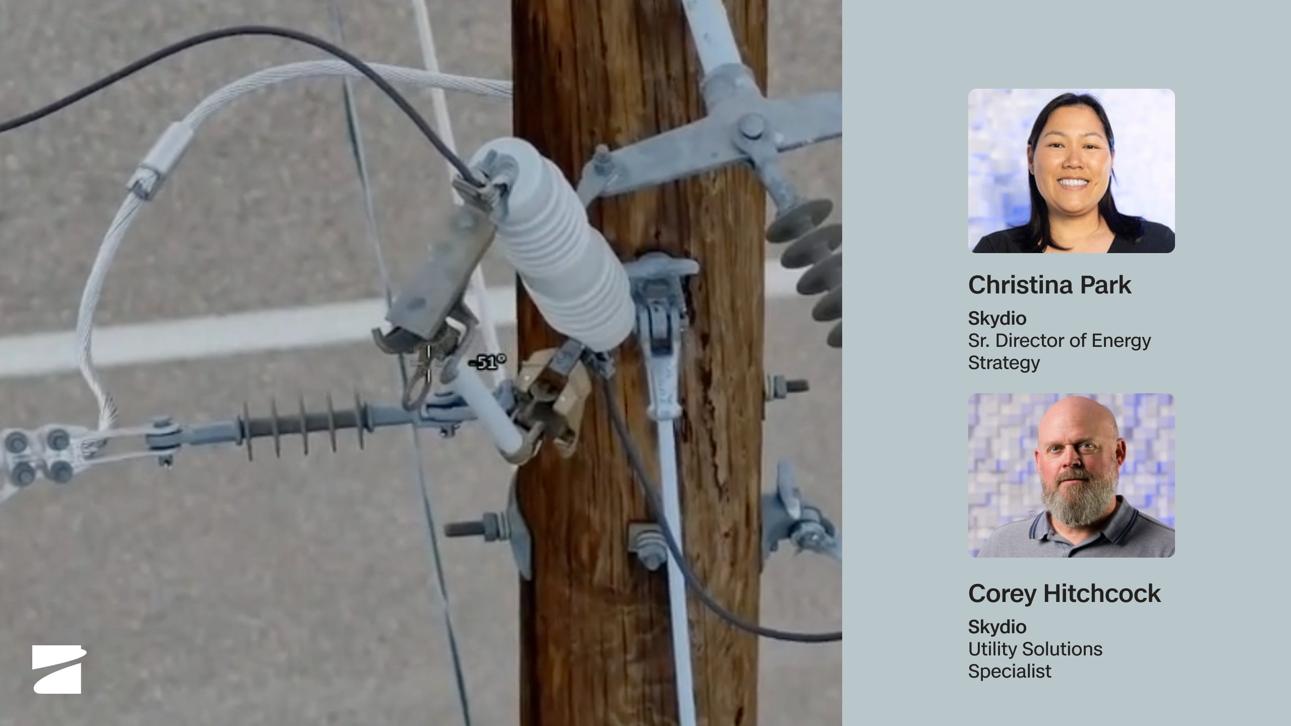
Dock for X10: Remote Inspection & Patrol, From an Office Chair
Watch webinar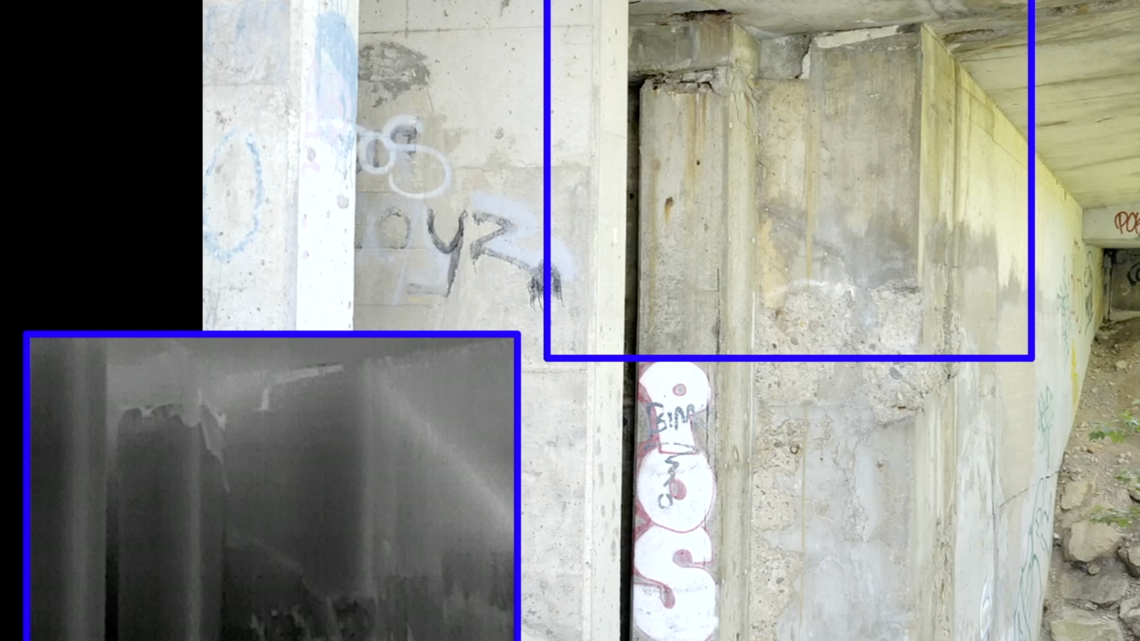
You've never been inspected like this before
Watch webinar